Payson in Utah County, Utah — The American Mountains (Southwest)
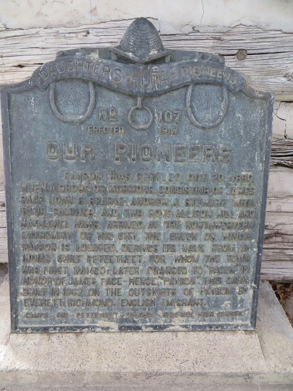
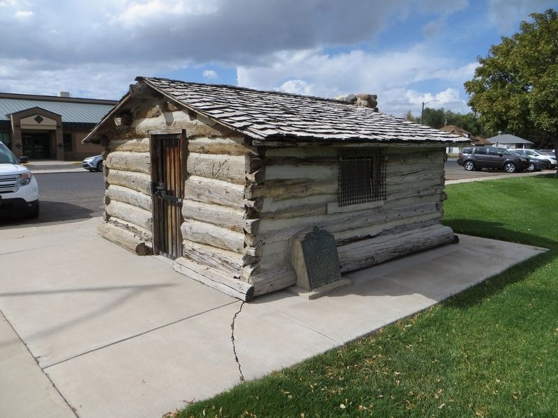
Our Pioneers
Erected 1947 by Daughters of Utah Pioneers. (Marker Number 107.)
Topics and series. This historical marker is listed in this topic list: Settlements & Settlers. In addition, it is included in the Daughters of Utah Pioneers series list. A significant historical year for this entry is 1850.
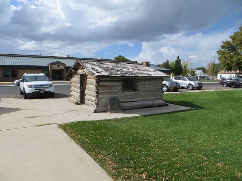
Location. 40° 2.581′ N, 111° 44.372′ W. Marker is in Payson, Utah, in Utah County. Marker is on South 500 West, 0.1 miles north of West 100 South, on the right when traveling north. Touch for map. Marker is in this post office area: Payson UT 84651, United States of America. Touch for directions.
Other nearby markers. At least 8 other markers are within walking distance of this marker. S.W. Corner of Payson Pioneer Fort (approx. ¼ mile away); Payson City Library (approx. 0.4 miles away); N.W. Corner of Payson Pioneer Fort (approx. 0.4 miles away); Samuel Douglass House (approx. 0.4 miles away); Dominguez y Escalante Expedition (approx. 0.4 miles away); The John Dixon House (approx. 0.4 miles away); Payson's Pioneer Industry (approx. half a mile away); City Hall (approx. half a mile away). Touch for a list and map of all markers in Payson.
Credits. This page was last revised on April 25, 2020. It was originally submitted on April 25, 2020, by Bill Kirchner of Tucson, Arizona. This page has been viewed 206 times since then and 29 times this year. Photos: 1, 2, 3. submitted on April 25, 2020, by Bill Kirchner of Tucson, Arizona.


