Payson in Utah County, Utah — The American Mountains (Southwest)
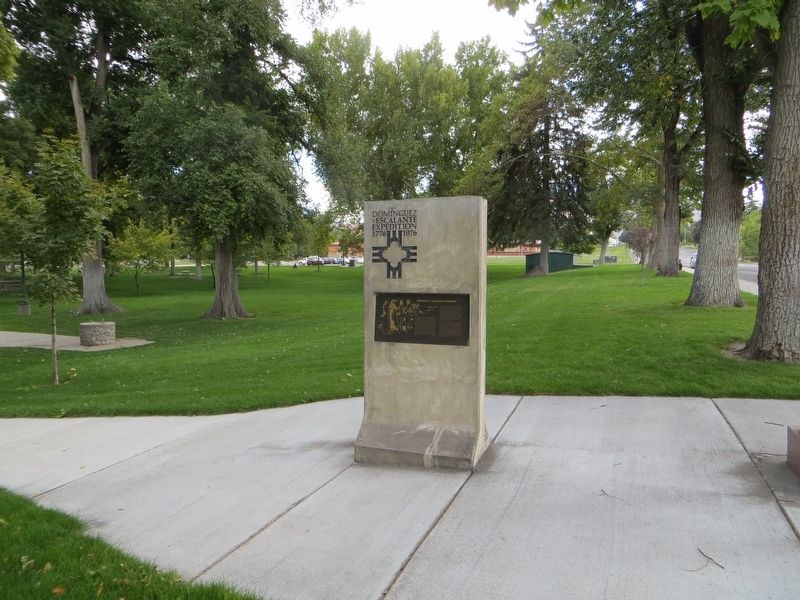
Dominguez y Escalante Expedition
1776 - 1976
Front Side:
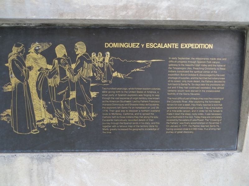
Two hundred years ago, while thirteen eastern colonies were giving birth to the United States of America, a small party of Spanish explorers was forging its way through the vast expanse of virgin territory now known as the American Southwest. Led by Fathers Francisco Atanasio Dominguez and Silvestre Velez de Escalante, the explorers left Santa Fe on horseback on July 29, 1776. Their goal was to discover a northern overland route to Monterey, California, and to spread the Catholic faith to those Indians they met along the way. Escalante meticulously recorded details of their journey through the Spanish lands in his diary, and this together with a famous map of the territory done by Miera, greatly increased the geographic knowledge of the time.
In early September, the missionaries made slow and difficult progress through Spanish Fork canyon, gateway to the beautiful Utah Valley and the Home of the Timpanogos Utes. Preaching Christianity to these Indians constituted the spiritual climax of the expedition. But on October 8, discouraged by the cold shortage of supplies, and the fact that the Indians knew of no ocean, only more desert, the Fathers decided to turn back to Santa Fe. Six days later the provisions ran out and if they had continued westward, they almost certainly would have starved in the snow covered foothills of the Sierra Nevada.
The most difficult part of the journey was the crossing of the Colorado River. After exploring the formidable terrain for over a week, they finally reached a ford that appeared shallow enough to cross. It lay at the bottom of a mile-wide canyon, and in order for the horses to make it down the steep rocky sides, it was necessary to cut footholds in the rocks. Today these are completely covered by the waters of Lake Powell. The "Crossing of the Fathers" was finally accomplished on November 7. On Jan. 2 1777, the Padres reached Santa Fe having covered close to 2,000 miles, thus ending their journey of great discovery.
Back Side:
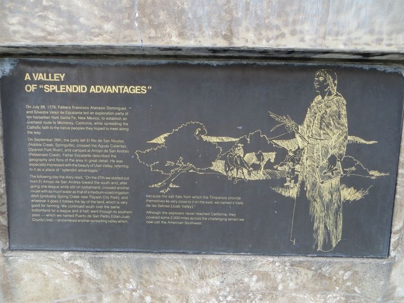
On July 29, 1776, Fathers Francisco Atanasio Dominguez and Silvestre Velez de Escalante led an exploration party of ten horsemen from Santa Fe, New Mexico, to establish an overland route to Monterey, California, while spreading the Catholic Faith to the native peoples they hoped to meet along the way.
On September 26th, the party left El Rio de San Nicolas (Hobble Creek, Springville), crossed the Aguas Calientes (Spanish Fork River), and camped at Arroyo de San Andres (Peteetneet Creek). Father Escalante described the geography and flora of the area in great detail. He was especially impressed with the beauty of Utah Valley, referring to it as a place of "Splendid Advantages".
The following day the diary read, "On the 27th we started out from El Arroyo de San Andres toward the south and, after going one league while still on bottomland, crossed another rivulet with as much water as that of a mid-sized irrigation ditch [probably Spring Creek near Payson City Park], and wherever it goes it follows the lay of the land, which very good for farming. We continued south over the same bottomland for a league and a half, went through its southern pass - which we named Puerto de San Pedro [Utah-Juab County line] - and entered another spreading valley which, because the salt flats from which Timpanois provide themselves lie very close to it on the east, we named if Valle de las Salenas [Juab Valley]."
Although the explorers never reached California, they covered some 2,000 miles across the challenging terrain we now call the American Southwest.
Topics. This historical marker is listed in this topic list: Exploration. A significant historical date for this entry is July 29, 1776.
Location. 40° 2.433′ N, 111° 43.928′ W. Marker is in Payson, Utah, in Utah County. Marker is on South Main Street, on the right when traveling north. Touch for map. Marker is at or near this postal address: 250 South Main Street, Payson UT 84651, United States of America. Touch for directions.
Other nearby markers. At least 8 other markers are within walking distance of this marker. Payson's Pioneer Industry (within shouting distance of this marker); City Hall (within shouting distance of this marker); Payson City Library (approx. 0.2 miles away); S.E. Corner of Payson Pioneer Fort (approx. ¼ mile away); S.W. Corner of Payson Pioneer Fort (approx. ¼ mile away); The John Dixon House (approx. 0.4 miles away); Samuel Douglass House (approx. 0.4 miles away); Our Pioneers (approx. 0.4 miles away). Touch for a list and map of all markers in Payson.
Credits. This page was last revised on April 25, 2020. It was originally submitted on April 25, 2020, by Bill Kirchner of Tucson, Arizona. This page has been viewed 291 times since then and 29 times this year. Photos: 1, 2, 3. submitted on April 25, 2020, by Bill Kirchner of Tucson, Arizona.


