Downtown Memphis in Shelby County, Tennessee — The American South (East South Central)
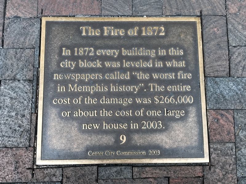
The Fire of 1872
Erected 2003 by Center City Commission. (Marker Number 9.)
Topics and series. This historical marker is listed in this topic list: Disasters. In addition, it is included in the Tennessee, Memphis, Center City Commission series list. A significant historical year for this entry is 1872.
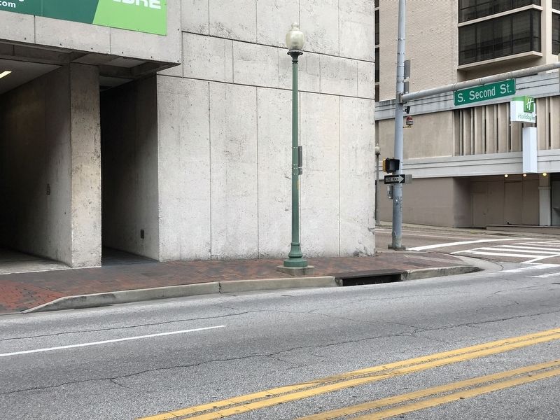
Location. 35° 8.577′ N, 90° 3.148′ W. Marker is in Memphis, Tennessee, in Shelby County. It is in Downtown Memphis. Marker can be reached from the intersection of Union Avenue and South 2nd Street (Tennessee Highway 14), on the right when traveling west. Marker is on sidewalk near the northwest corner of the intersection. Touch for map. Marker is at or near this postal address: 74 S 2nd St, Memphis TN 38103, United States of America. Touch for directions.
Other nearby markers. At least 8 other markers are within walking distance of this marker. First Black Radio Station (within shouting distance of this marker); WDIA (within shouting distance of this marker); Peabody Hotel (within shouting distance of this marker); Peabody Lobby (about 300 feet away, measured in a direct line); Union Avenue (about 300 feet away); Peabody Revitalization (about 400 feet away); Greek Influence (about 400 feet away); Farnsworth Building (about 400 feet away). Touch for a list and map of all markers in Memphis.
Also see . . . Downtown Memphis Commission's Sidewalk Stories Tour. Walking itinerary compiled by Google Maps. Note: Some markers are missing. (Submitted on April 26, 2020, by Duane and Tracy Marsteller of Murfreesboro, Tennessee.)
Credits. This page was last revised on February 7, 2023. It was originally submitted on April 26, 2020, by Duane and Tracy Marsteller of Murfreesboro, Tennessee. This page has been viewed 1,009 times since then and 709 times this year. Photos: 1, 2. submitted on April 26, 2020, by Duane and Tracy Marsteller of Murfreesboro, Tennessee. • Devry Becker Jones was the editor who published this page.

