Central Point in Jackson County, Oregon — The American West (Northwest)
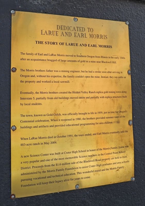
The Story of LaRue and Earl Morris
The Morris brothers father was a mining engineer, but he had a stroke soon after arriving in Oregon and, without his expertise, the family couldn't open the mine. Instead, they ran cattle on the property and worked a local sawmill.
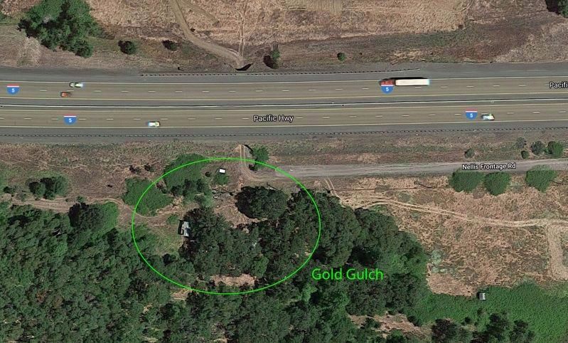
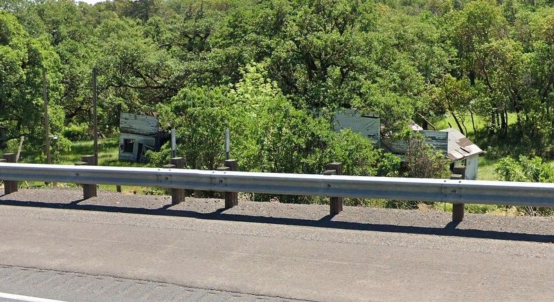
Eventually, the Morris brothers created the Hidden Valley Ranch replica gold mining town along Interstate 5, partially from old buildings moved onsite and partially with replica structures built by local students.
The town, known as Gold Gulch, was officially brought to life in 1959, just in time for the Oregon's Centennial celebration. When it reopened in 1980, the brothers provided summer tours of the buildings and artifacts and provided educational programming for area children.
When LaRue Morris died in 1991, the tours ended, and Earl Morris eventually sold the 883-acre ranch in May 2004.
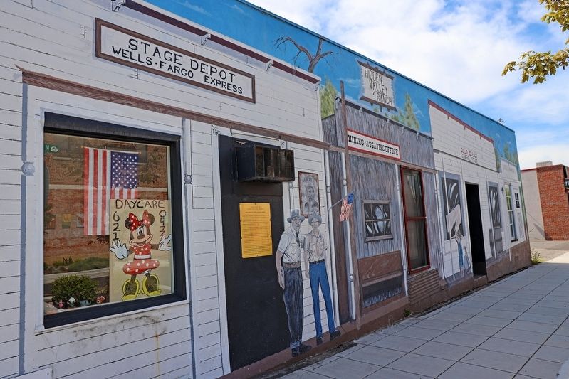
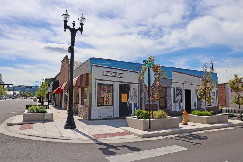
A new Science center was built at Crater High School in honor of the Morris Family. LaRue was a very popular and one of the most memorable Science teachers in the Central Point School District. Proceeds from the $1.6 million sale of the Blackwell Road property are held in trust, administered by the Morris Family Foundation to assist Crater High graduates and area schools pursuing vocational and technical education. This wonderful mural and the Morris Family Foundation will keep their legacy alive for years to come.
Topics. This historical marker is listed in this topic list: Notable Places.
Location. 42° 22.515′ N, 122° 54.934′ W. Marker is in Central Point, Oregon, in Jackson County. Marker is at the intersection of East Pine Street and North 3rd Street, on the right when traveling south on East Pine Street. Touch for map. Marker is in this post office area: Central Point OR 97502, United States of America. Touch for directions.
Other nearby markers. At least 8 other markers are within 3 miles of this marker, measured as the crow flies. The Rostel Building (a few steps from this marker); Beall Black Walnut (approx. 0.9 miles away); Oregon Fallen War Heroes Memorial (approx. 1˝ miles away); Applegate Trail - A Fine Prairie (approx. 1.7 miles away); Applegate Trail - We Took Breakfast (approx. 1.9 miles away); Applegate Trail - Jacksonville (approx. 2.1 miles away); The Old Stage Road (approx. 2.1 miles away); Hanley Farm Willow (approx. 2.9 miles away). Touch for a list and map of all markers in Central Point.
More about this marker. The marker hangs on the southeast corner of the building.
Also see . . . Earl and LaRue Morris family bios. (Submitted on April 26, 2020, by Douglass Halvorsen of Klamath Falls, Oregon.)
Credits. This page was last revised on April 27, 2020. It was originally submitted on April 26, 2020, by Douglass Halvorsen of Klamath Falls, Oregon. This page has been viewed 1,004 times since then and 130 times this year. Photos: 1, 2, 3, 4, 5. submitted on April 26, 2020, by Douglass Halvorsen of Klamath Falls, Oregon. • Syd Whittle was the editor who published this page.
