Near Watrous in Mora County, New Mexico — The American Mountains (Southwest)
Fort Union and the Santa Fe Trail
Santa Fe National Historic Trail
— Fort Union National Monument —
Inscription.
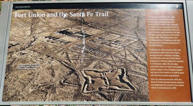
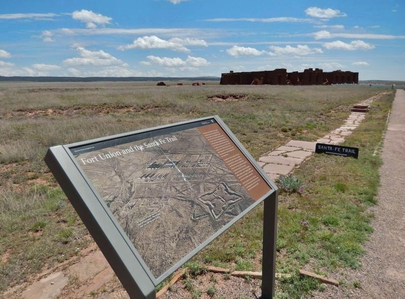
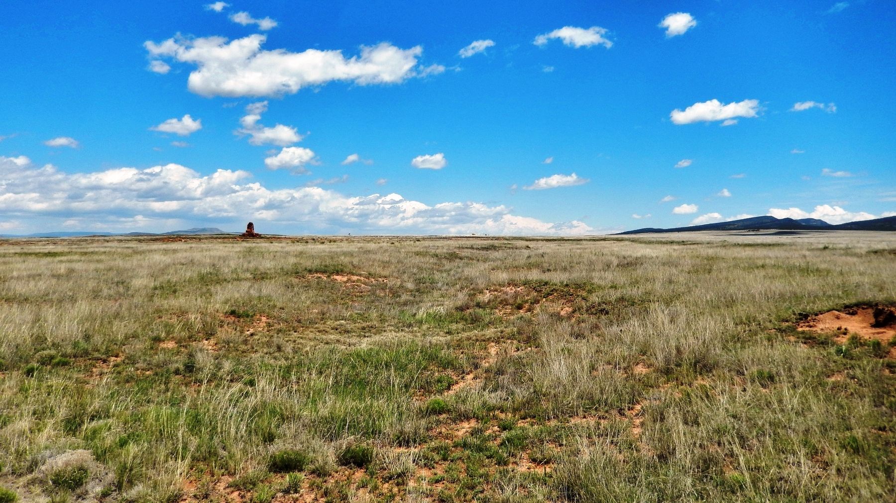
The deep ruts etched into the earth in front of you are a record of Fort Union's role as the guardian of the Santa Fe Trail. Formed from a network of routes used for hundreds of years by American Indians, Spaniards, Mexicans, New Mexicans, and Americans, the trail brought economic success to the towns along its path. With the presence of a growing number of Americans, the trail also promoted westward expansion for the United States.
Established in 1851 to protect this vital international trade route, Fort Union ensured that the commerce traveling over 900 miles from the United States (Missouri) to Mexico (Santa Fe) reached its destination safely. The fort also utilized the Santa Fe Trail as the primary military supply route, bringing supplies and men to the frontier as conflicts grew with American Indian populations.
After the railroad arrived in 1879, the Santa Fe Trail instantly became obsolete and eliminated the need for Fort Union which was abandoned in 1891.
Erected by National Park Service, U.S. Department of the Interior.
Topics and series. This historical marker is listed in these topic lists: Forts and Castles • Industry & Commerce • Railroads & Streetcars • Settlements & Settlers. In addition, it is included in the Santa Fe Trail series list. A significant historical year for this entry is 1851.
Location. 35° 54.353′ N, 105° 0.691′ W. Marker is near Watrous, New Mexico, in Mora County. Marker can be reached from New Mexico Route 161, 7˝ miles north of CanAm Highway (Interstate 25). Marker is located along the park trail at Fort Union National Monument. Touch for map. Marker is at or near this postal address: 3115 New Mexico Route 161, Watrous NM 87753, United States of America. Touch for directions.
Other nearby markers. At least 8 other markers are within walking distance of this marker. The Best Hospital in 500 Miles (about 300 feet away, measured in a direct line); Trail Sites to the West (about 400 feet away); Trail Sites to the North and East (about 400 feet away); The Six Mule Army Wagon (about 400 feet away); Life Along Suds Row (about 400 feet away); Crime and Punishment on an Army Post (about 500 feet away); The First Fort Union (about 600 feet away); The Third Fort Union (about 600 feet away). Touch for a list and map of all markers in Watrous.
Related markers. Click here for a list of markers that are related to this marker. Fort Union National Monument
Also see . . . Fort Union National Monument. Fort Union stayed in operation until
the arrival of the Atchison, Topeka, and Santa Fe Railroad in 1879 slowly put an end to the Santa Fe Trail. The railroad ended one era and opened another in the Southwest. Fort Union lingered on for another ten years, and as the buildings deteriorated the end was in sight. The post, along with the trail, had outlived its usefulness. (Submitted on April 29, 2020, by Cosmos Mariner of Cape Canaveral, Florida.)
Credits. This page was last revised on September 29, 2020. It was originally submitted on April 27, 2020, by Cosmos Mariner of Cape Canaveral, Florida. This page has been viewed 223 times since then and 28 times this year. Photos: 1, 2, 3, 4. submitted on April 29, 2020, by Cosmos Mariner of Cape Canaveral, Florida.


