Midtown in Memphis in Shelby County, Tennessee — The American South (East South Central)
Idlewild Presbyterian Church
Photographed by Duane and Tracy Marsteller, April 25, 2020
1. Idlewild Presbyterian Church Marker
Front side
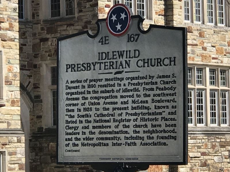
A series of prayer meetings organized by James S. Davant in 1890 resulted in a Presbyterian Church organized in the suburb of Idlewild. From Peabody Avenue the congregation moved to the southwest corner of Union Avenue and McLean Boulevard, then in 1926 to the present building, known as "the South's Cathedral of Presbyterianism” and listed in the National Register of Historic Places. Clergy and members of the church have been leaders in the denomination, the neighborhood, and the wider community, including the founding of the Metropolitan Inter-Faith Association.
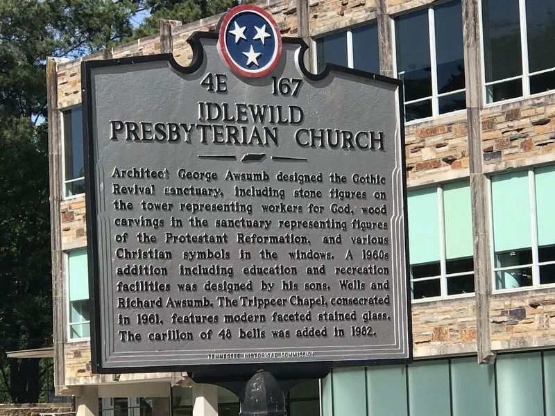
Architect George Awsumb designed the Gothic Revival sanctuary, including stone figures on the tower representing workers for God, wood carvings in the sanctuary representing figure of the Protestant Reformation, and various Christian symbols in the windows. A 1960s addition including education and recreation facilities was designed by his sons, Wells and Richard Awsumb. The Trippeer Chapel, consecrated in 1961, features modern faceted stained glass. The carillon of 48 bells was added in 1982.
Erected by Tennessee Historical Commission. (Marker
this page online
Topics and series. This historical marker is listed in these topic lists: Architecture • Religion & Religious Structures. In addition, it is included in the Tennessee Historical Commission series list. A significant historical year for this entry is 1890.
Location. 35° 8.171′ N, 90° 0.228′ W. Marker is in Memphis, Tennessee, in Shelby County. It is in Midtown. It is on South Evergreen Street just north of Union Avenue (U.S. 64/79), on the left when traveling north. Marker located in parking lot across the street from the church. Touch for map. Marker is at or near this postal address: 1750 Union Avenue, Memphis TN 38104, United States of America. Touch for directions.

Regionally, this marker is in West Tennessee. It is also in the American South, specifically in the Deep South, in the Upper South, in the Mississippi Delta, and in the Great River Road Region. Globally, it is in North America, the Western Hemisphere, the Western World, and the Anglosphere. Historically, it finds itself in what was once the territory of the Mississippian Culture, one of the Confederate States of America, and the Antebellum
Photographed by Duane and Tracy Marsteller, April 25, 2020
2. Idlewild Presbyterian Church Marker
Reverse side
Other nearby markers. At least 8 other markers are within walking distance of this marker: Bettis Family Cemetery (approx. ¼ mile away); Grace-St. Luke's Episcopal Church (approx. ¼ mile away); The Antenna Club (approx. 0.3 miles away); Central Gardens Historic District (approx. 0.3 miles away); Hutchison School (approx. 0.4 miles away); The 1969 Miss Memphis Review (approx. half a mile away); Crump Home (approx. half a mile away); Griffin House (approx. ¾ mile away). Touch for a list and map of all markers in Memphis.
Another marker is no longer nearby. First Congregational Church (was approx. 0.6 miles away but has been confirmed missing).
Also see . . . Details of the carillon. (Submitted on September 6, 2020, by Carl Scott Zimmerman of Kirkwood, Missouri.)

Photographed by Duane and Tracy Marsteller, April 25, 2020
3. Idlewild Presbyterian Church Marker
Credits. This page was last revised on February 7, 2023. It was originally submitted on April 28, 2020, by Duane and Tracy Marsteller of Murfreesboro, Tennessee. This page has been viewed 619 times since then and 70 times this year. Photos: 1, 2, 3. submitted on April 28, 2020, by Duane and Tracy Marsteller of Murfreesboro, Tennessee. • Devry Becker Jones was the editor who published this page.
