Oakhurst in Madera County, California — The American West (Pacific Coastal)
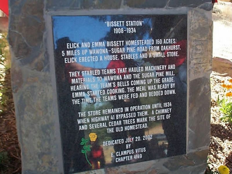
Bissett Station
1908-1934
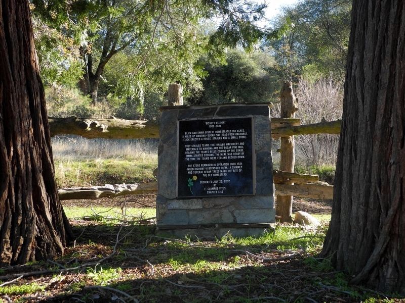
Elick and Emma Bissett homesteaded 160 acres, 5 miles up Wawona-Sugar Pine Road from Oakhurst. Elick erected a house, stables and a small store.
They stabled teams that hauled machinery and materials to Wawona and the Sugar Pine mill. Hearing the team's bells coming up the grade, Emma started cooking. The meal was ready by the time the teams were fed and bedded down.
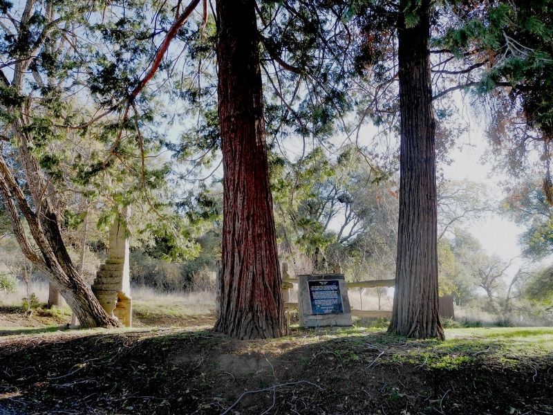
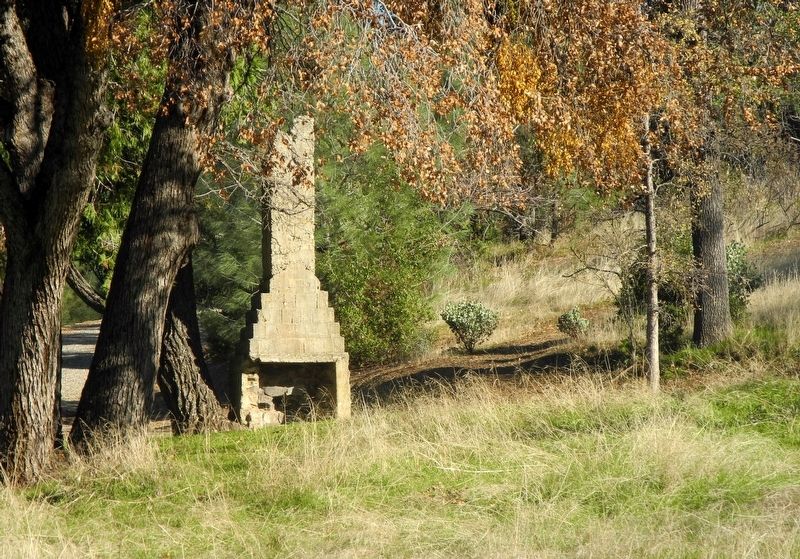
The store remained in operation until 1934 when Highway 41 bypassed them. A chimney and several cedar trees mark the site of the old homestead.
Erected 2002 by Grub Gulch Chapter 41-49 E Clampus Vitus.
Topics and series. This historical marker is listed in this topic list: Industry & Commerce. In addition, it is included in the E Clampus Vitus series list.
Location. 37° 22.022′ N, 119° 39.438′ W. Marker is in Oakhurst, California, in Madera County. Marker is on Old Yosemite Road, on the right when traveling north. Located approx. 2 miles from the junction of Hwy 41 on Rd. 620 (just past the Bass Lake turnoff). Touch for map. Marker is at or near this postal address: 42422 Old Yosemite Road, Oakhurst CA 93644, United States of America. Touch for directions.
Other nearby markers. At least 8 other markers are within 3 miles of this marker, measured as the crow flies. Gold Rush Entertainment Lives On (approx. 0.8 miles away); Madera Sugar Pine Flume (approx. 1.8 miles away); Little Church on the Hill (approx. 2.2 miles away); Giant Sequoia Cutting (approx. 2.3 miles away); Highway 49 - The Golden Chain (approx. 2.4 miles away); Oakhurst Centennial (approx. 2.7 miles away); Old French Trail (approx. 2.8 miles away); Fresno Flats Townsite (approx. 2.8 miles away). Touch for a list and map of all markers in Oakhurst.
Credits. This page was last revised on June 19, 2023. It was originally submitted on April 28, 2020, by Frank Gunshow Sanchez of Hollister, California. This page has been viewed 280 times since then and 44 times this year. Photos: 1. submitted on April 28, 2020, by Frank Gunshow Sanchez of Hollister, California. 2, 3, 4. submitted on June 5, 2023, by Dick Estel of Clovis, California. • Syd Whittle was the editor who published this page.


