Mount Vernon Historical Museum and Train Depot
— Mount Vernon History Trail —
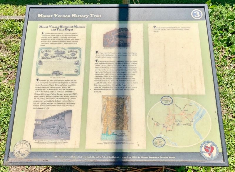
This was the age of the Robber Barons, and the next few years saw many mergers of railroad companies. In 1887 the Eastern Tennessee, Virginia & Georgia Railway bought this line and obtained the right to construct a freight and passenger depot at Mount Vernon. Although still owned by ETV&G, this line from Mobile to Selma was renamed the Mobile and Birmingham Railway Company a year later. M&BR was acquired by Southern Railway in 1899. Around the turn of the 20th century, Mount Vernon was also served by a narrow- gauge system operated by Tombigbee & Northern Railroad. This short line was absorbed into the Alabama, Tennessee & Northern Railroad system and the tracks were converted to standard gauge in 1905.
For many years the Frisco Line ran to the west of US Highway 43, and the Norfolk Southern Line ran to the east; today only the Norfolk Southern tracks remain in use.
The Mount Vernon Historical Preservation Society is a not-for- profit organization
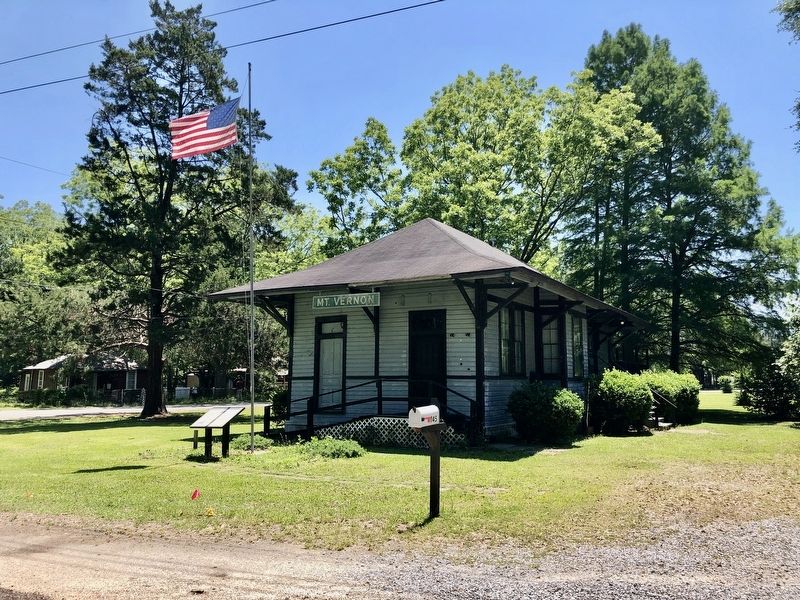
committed to preserving the history of Mount Vernon, Alabama, and surrounding areas. We are interested in history in all its forms - oral history, written records, photographs and other media, as well as artifacts and buildings of historical significance. The Town of Mount Vernon acquired this wonderful old train depot in 2010 for use by the Mount Vernon Historical Preservation Society as a museum. With help from many contributors and dedicated volunteers, our museum will soon move from a dream to a reality, with interpretive displays and exhibits that tell the stories of those who came before us. Here in Mount Vernon we believe "History is Our Future." Join us in preserving knowledge of our past, so that we can learn from our ancestors and appreciate how they created this nation and community.
Photo captions:
[Top left] Railroad Stock Certificate, 1874
[Bottom left] The circa 1920s steam engine Mobile River Saw Mill Co #18 in
storage at Mount Vernon in 1959 (Photograph by John C. Hawkins,
courtesy of Ralph W. Hawkins and Hawkins Rails.net)
[Top middle] Southern Railway Depot, 1970s (Courtesy of the Alabama
Department of Archives and History Montgomery, Alabama)
[Bottom middle] Map of Alabama showing Railroads circa 1891
(from King's Handbook of the United States by Moses Foster Sweetser)
Erected by
Topics. This historical marker is listed in this topic list: Railroads & Streetcars. A significant historical year for this entry is 1872.
Location. 31° 5.107′ N, 88° 0.853′ W. Marker is in Mt. Vernon, Alabama, in Mobile County. Marker is at the intersection of Old Military Road (Alabama Route 96) and State Street, on the right when traveling east on Old Military Road. Touch for map. Marker is in this post office area: Mount Vernon AL 36560, United States of America. Touch for directions.
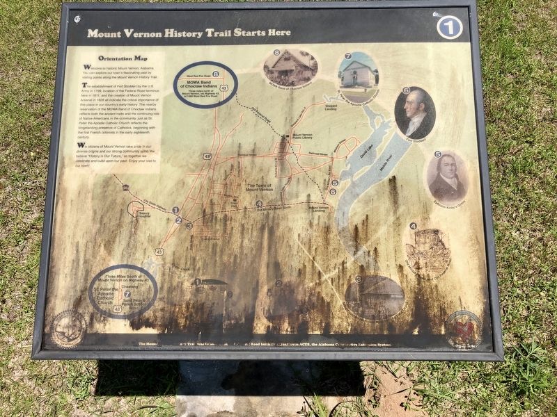
Other nearby markers. At least 8 other markers are within 4 miles of this marker, measured as the crow flies. Fort Stoddert (about 700 feet away, measured in a direct line); Mt. Vernon Federal Highway (about 800 feet away); Mt. Vernon Arsenal and Barracks/Searcy Hospital (approx. 0.6 miles away); Mount Vernon Arsenal (approx. 0.6 miles away); Old Military Road and Old Federal Road (approx. 1.2 miles away); Ephraim Kirby's Grave (approx. 2 miles away); a different marker also named Fort Stoddert (approx. 2 miles away); St. Peter the Apostle Catholic Church (approx. 3.3 miles away). Touch for a list and map of all markers in Mt. Vernon.
Credits. This page was last revised on November 17, 2020. It was originally submitted on May 3, 2020, by Mark Hilton of Montgomery, Alabama. This page has been viewed 526 times since then and 67 times this year. Photos: 1, 2, 3. submitted on May 3, 2020, by Mark Hilton of Montgomery, Alabama.


