Near Lockhart in Caldwell County, Texas — The American South (West South Central)
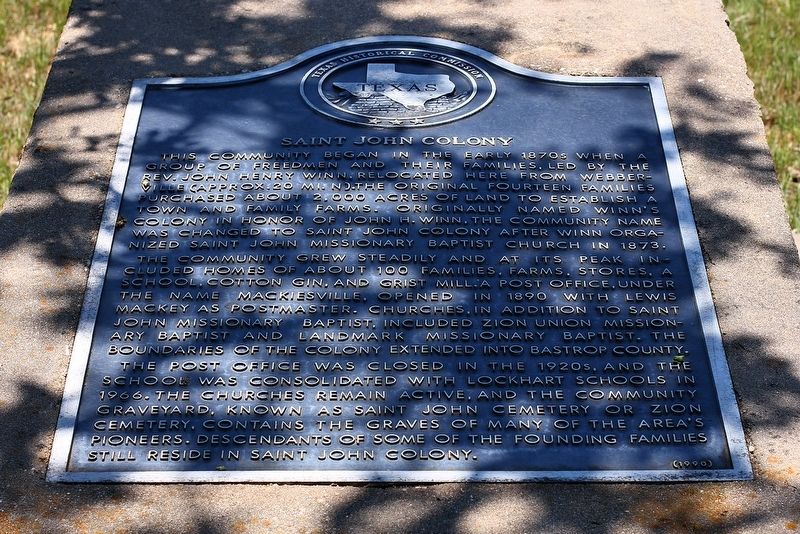
Saint John Colony
The community grew steadily and at its peak included homes of about 100 families, farms, stores, a school, cotton gin, and grist mill. A post office, under the name Mackiesville, opened in 1890 with Lewis Mackey as Postmaster. Churches, in addition to Saint John Missionary Baptist, included Zion Union Missionary Baptist and Landmark Missionary Baptist. The boundaries of the colony extended into Bastrop County.
The post office was closed in the 1920s, and the school was consolidated with Lockhart schools in 1966. The churches remain active, and the community graveyard, known as Saint John Cemetery, or Zion Cemetery, contains the graves of many of the area's pioneers. Descendants of some of the founding families still reside in Saint John Colony.
Erected 1990 by Texas Historical Commission. (Marker Number 14663.)
Topics. This historical marker is listed in these topic lists: African Americans • Settlements & Settlers. A significant historical year for this entry is 1873.
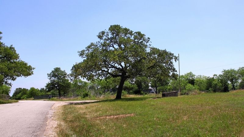
Location. 29° 57.858′ N, 97° 32.882′ W. Marker is near Lockhart, Texas, in Caldwell County. Marker is on Chamberlin Road (County Road 167) 0.2 miles south of Dale Road (County Road 294), on the right when traveling south. Marker is across the road from the Saint John Colony Cemetery. Touch for map. Marker is in this post office area: Dale TX 78616, United States of America. Touch for directions.
Other nearby markers. At least 8 other markers are within 8 miles of this marker, measured as the crow flies. Old Red Rock Cemetery (approx. 4.6 miles away); Isham Jones Good (approx. 5.3 miles away); Lincecum Cemetery (approx. 5.3 miles away); New Red Rock Cemetery (approx. 5˝ miles away); Rockne (approx. 7.3 miles away); Clark's Chapel Cemetery (approx. 7˝ miles away); Bethel Primitive Baptist Church (approx. 7.9 miles away); Jeffrey Cemetery (approx. 7.9 miles away). Touch for a list and map of all markers in Lockhart.
Credits. This page was last revised on May 4, 2020. It was originally submitted on May 4, 2020, by Larry D. Moore of Del Valle, Texas. This page has been viewed 313 times since then and 37 times this year. Photos: 1, 2. submitted on May 4, 2020, by Larry D. Moore of Del Valle, Texas.

