Jefferson Heights in Greene County, New York — The American Northeast (Mid-Atlantic)
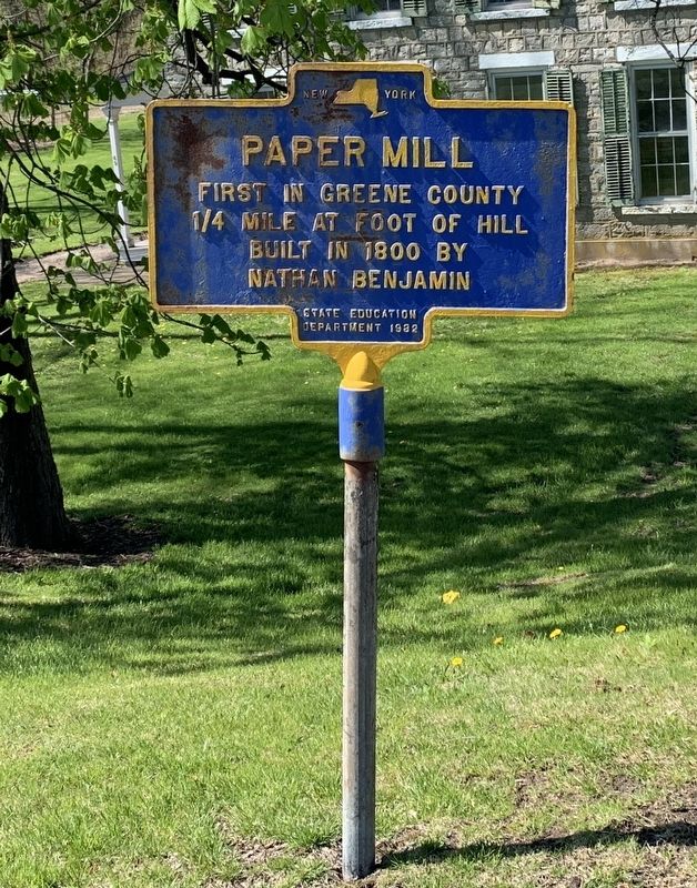
Paper Mill
1/4 mile at foot of hill
Built in 1800 by
Nathan Benjamin
Erected 1932 by State Education Department.
Topics. This historical marker is listed in this topic list: Industry & Commerce. A significant historical year for this entry is 1800.
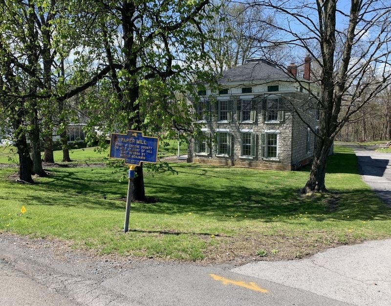
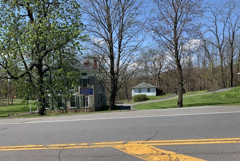
Location. 42° 14.254′ N, 73° 53.215′ W. Marker is in Jefferson Heights, New York, in Greene County. Marker is on Jefferson Heights (County Route 23B) 0.1 miles east of New York State Route 23, on the right when traveling east. Touch for map. Marker is at or near this postal address: 269 Jefferson Heights, Catskill NY 12414, United States of America. Touch for directions.
Other nearby markers. At least 8 other markers are within 2 miles of this marker, measured as the crow flies. Footpath (approx. 0.2 miles away); Capt. Joseph Allen (approx. 0.4 miles away); Jefferson Heights War Memorial (approx. half a mile away); Rev. Johannes Schuneman (approx. 0.6 miles away); Grist Mill (approx. 1.2 miles away); Old Inn (approx. 1.4 miles away); World War II Memorial (approx. 1.4 miles away); Railway Bridge (approx. 1˝ miles away). Touch for a list and map of all markers in Jefferson Heights.
Credits. This page was last revised on May 14, 2020. It was originally submitted on May 3, 2020, by Steve Stoessel of Niskayuna, New York. This page has been viewed 115 times since then and 19 times this year. Last updated on May 5, 2020, by Steve Stoessel of Niskayuna, New York. Photos: 1, 2, 3. submitted on May 3, 2020, by Steve Stoessel of Niskayuna, New York. • Michael Herrick was the editor who published this page.


