Duxbury in Plymouth County, Massachusetts — The American Northeast (New England)
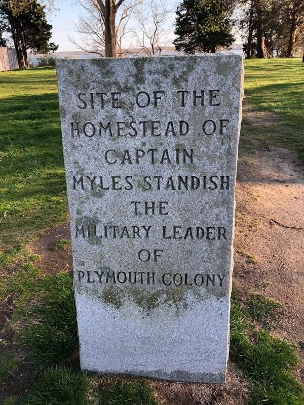
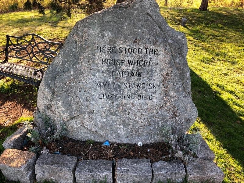
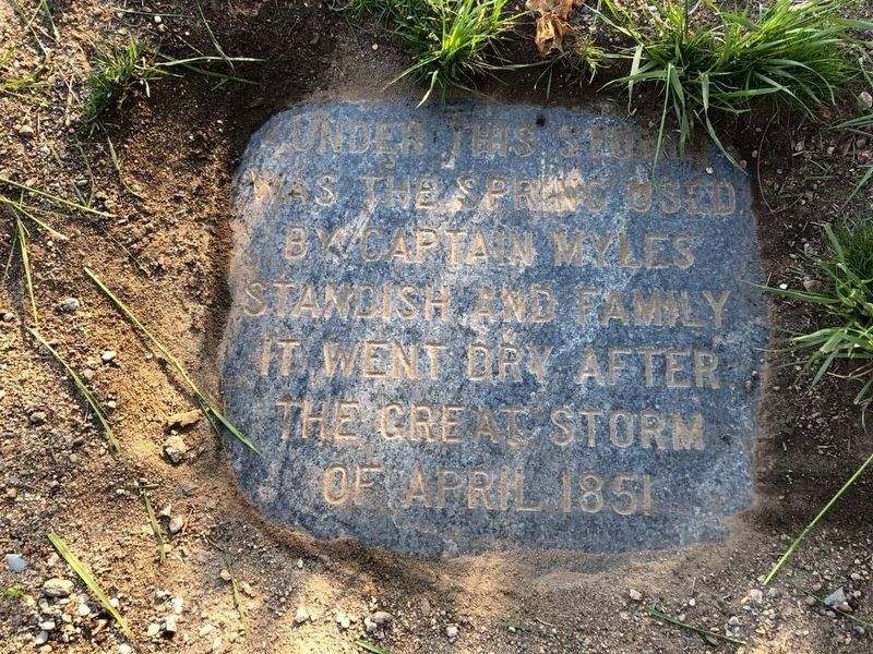
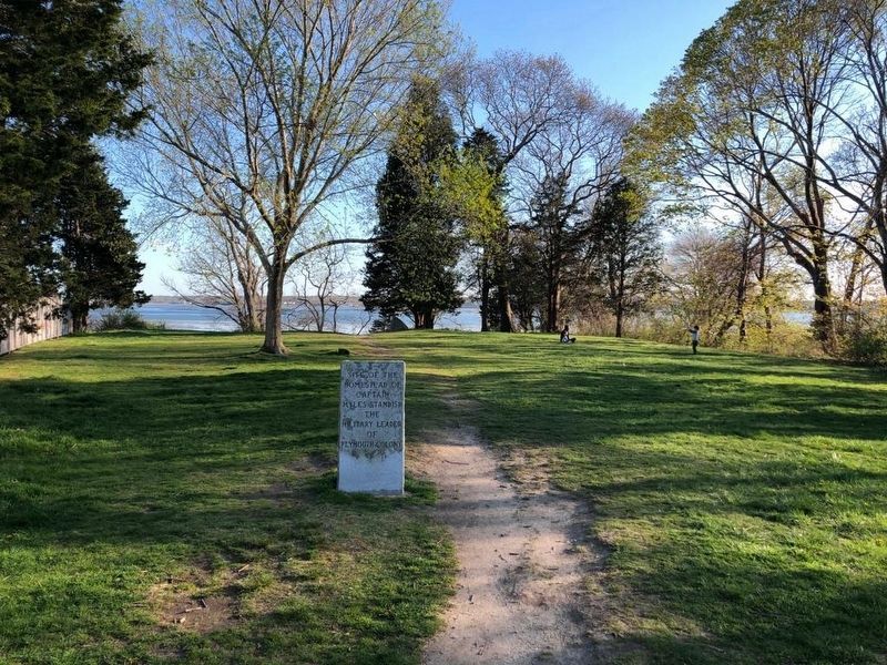
Homestead of Captain Myles Standish
Site of the homestead of Captain Myles Standish the military leader of Plymouth Colony
Topics. This historical marker is listed in these topic lists: Exploration • Settlements & Settlers.
Location. 42° 0.435′ N, 70° 40.473′ W. Marker is in Duxbury, Massachusetts, in Plymouth County. Marker is on Mayflower Avenue just south of Spring Street when traveling south. Touch for map. Marker is in this post office area: Duxbury MA 02332, United States of America. Touch for directions.
Other nearby markers. At least 8 other markers are within 2 miles of this marker, measured as the crow flies. William Brewster’s Homestead (approx. 0.4 miles away); Site of Nook Gate (approx. one mile away); Site of First Church (approx. 1.4 miles away); Welcome to the Old Burial Ground, c. 1632-1787 (approx. 1.4 miles away); America's Oldest Maintained Cemetery (approx. 1.4 miles away); Memorial Stones of John and Priscilla Alden (approx. 1.4 miles away); Captain Myles Standish (approx. 1.4 miles away); Site of Second Meeting House (approx. 1.4 miles away). Touch for a list and map of all markers in Duxbury.
Photographed By J. Makali Bruton
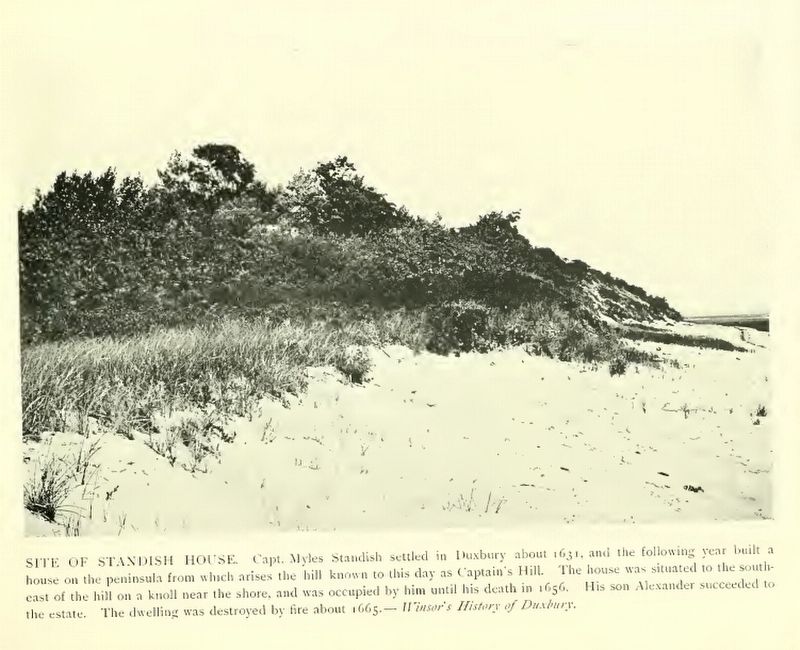
5. Site of Standish House
This photo is from "The Pilgrim Town of Duxbury, 1900". The photo's caption reads:
Site of Standish House: Capt. Myles Standish settled in Duxbury about 1631, and the following year built a house on the peninsula from which arises the hill known to this day as Captain's Hill. The house was situated to the south-east of the hill on a knoll near the shore, and was occupied by him until his death in 1656. His son Alexander succeeded to the estate, The dwelling was destroyed by fire about 1665. -- Winsor's History of Duxbury
Site of Standish House: Capt. Myles Standish settled in Duxbury about 1631, and the following year built a house on the peninsula from which arises the hill known to this day as Captain's Hill. The house was situated to the south-east of the hill on a knoll near the shore, and was occupied by him until his death in 1656. His son Alexander succeeded to the estate, The dwelling was destroyed by fire about 1665. -- Winsor's History of Duxbury
Credits. This page was last revised on November 20, 2020. It was originally submitted on May 8, 2020, by J. Makali Bruton of Accra, Ghana. This page has been viewed 867 times since then and 71 times this year. Photos: 1, 2, 3, 4, 5. submitted on May 8, 2020, by J. Makali Bruton of Accra, Ghana.
