Murfreesboro in Rutherford County, Tennessee — The American South (East South Central)
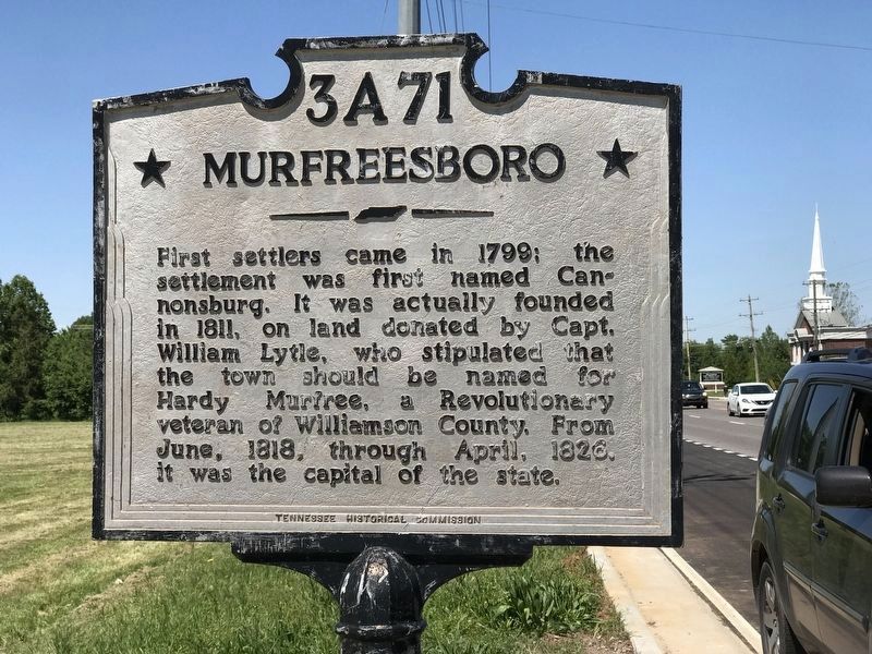
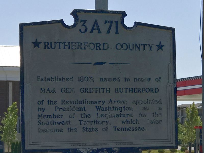
Murfreesboro / Rutherford County
Erected by Tennessee Historical Commission. (Marker Number 3 A 71.)
Topics and series. This historical marker is listed in these topic lists: Political Subdivisions • Settlements & Settlers • War, US Revolutionary. In addition, it is included in the Former U.S. Presidents: #01 George Washington, and the Tennessee Historical Commission series lists. A significant historical year for this entry is 1803.
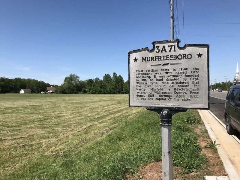
Location. 35° 50.686′ N, 86° 27.041′ W. Marker is in Murfreesboro, Tennessee, in Rutherford County. Marker is at the intersection of Franklin Road (State Highway 96) and Gresham Lane, on the right when traveling east on Franklin Road. Touch for map. Marker is at or near this postal address: 3024 Franklin Rd, Murfreesboro TN 37128, United States of America. Touch for directions.
Other nearby markers. At least 8 other markers are within 3 miles of this marker, measured as the crow flies. Murfreesboro (approx. 1˝ miles away); Sheridan Saves the Day (approx. 1.9 miles away); Boys, you must get out of here! You are surrounded! (approx. 1.9 miles away); Sheridan's Stand (approx. 1.9 miles away); Michigan (approx. 2 miles away); Why Fight Here? (approx. 2 miles away); Battle at Stones River (approx. 2 miles away); Fields of Fire (approx. 2.2 miles away). Touch for a list and map of all markers in Murfreesboro.
Credits. This page was last revised on May 10, 2020. It was originally submitted on May 9, 2020, by Duane and Tracy Marsteller of Murfreesboro, Tennessee. This page has been viewed 144 times since then and 15 times this year. Photos: 1, 2, 3. submitted on May 9, 2020, by Duane and Tracy Marsteller of Murfreesboro, Tennessee. • Devry Becker Jones was the editor who published this page.


