Near Franklin in Williamson County, Tennessee — The American South (East South Central)
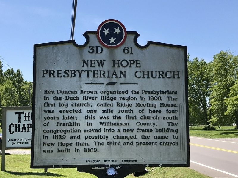
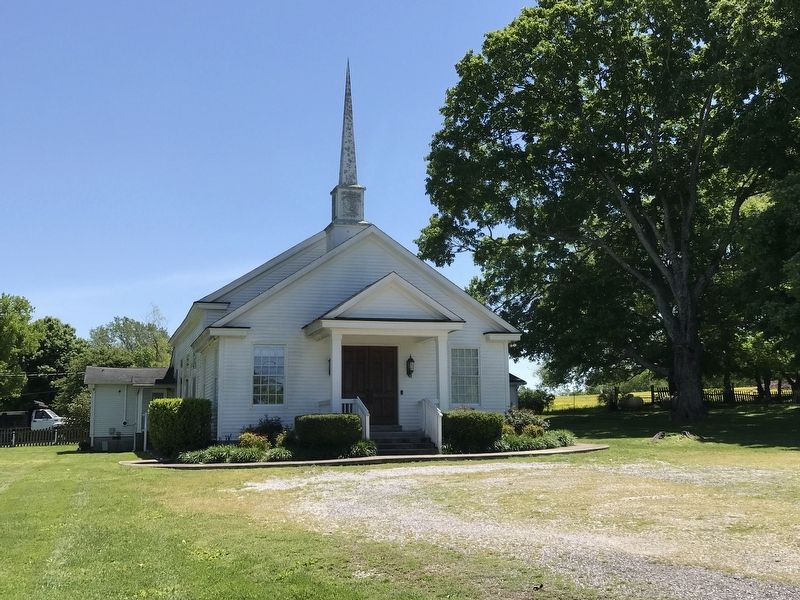
New Hope Presbyterian Church
Erected by Tennessee Historical Commission. (Marker Number 3D 61.)
Topics and series. This historical marker is listed in this topic list: Churches & Religion. In addition, it is included in the Tennessee Historical Commission series list. A significant historical year for this entry is 1806.
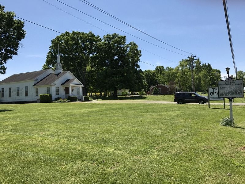
Location. 35° 47.65′ N, 86° 50.6′ W. Marker is near Franklin, Tennessee, in Williamson County. Marker is at the intersection of Lewisburg Pike (U.S. 431) and Savannah Springs Drive, on the right when traveling north on Lewisburg Pike. Touch for map. Marker is at or near this postal address: 1939 Lewisburg Pike, Franklin TN 37064, United States of America. Touch for directions.
Other nearby markers. At least 8 other markers are within 4 miles of this marker, measured as the crow flies. Mount Carmel/Duplex (approx. 3 miles away); Bethesda (approx. 3.2 miles away); Hood's Retreat (approx. 3.3 miles away); Homestead Manor (approx. 3.4 miles away); Battle of Thompson's Station (approx. 3˝ miles away); Thompson Station Bank (approx. 3.8 miles away); Thompson's Station Train Depot (approx. 3.8 miles away); Thompson's Station (approx. 3.8 miles away).
Credits. This page was last revised on May 11, 2020. It was originally submitted on May 10, 2020, by Duane and Tracy Marsteller of Murfreesboro, Tennessee. This page has been viewed 557 times since then and 89 times this year. Photos: 1, 2, 3. submitted on May 10, 2020, by Duane and Tracy Marsteller of Murfreesboro, Tennessee. • Devry Becker Jones was the editor who published this page.


