American Fork in Utah County, Utah — The American Mountains (Southwest)
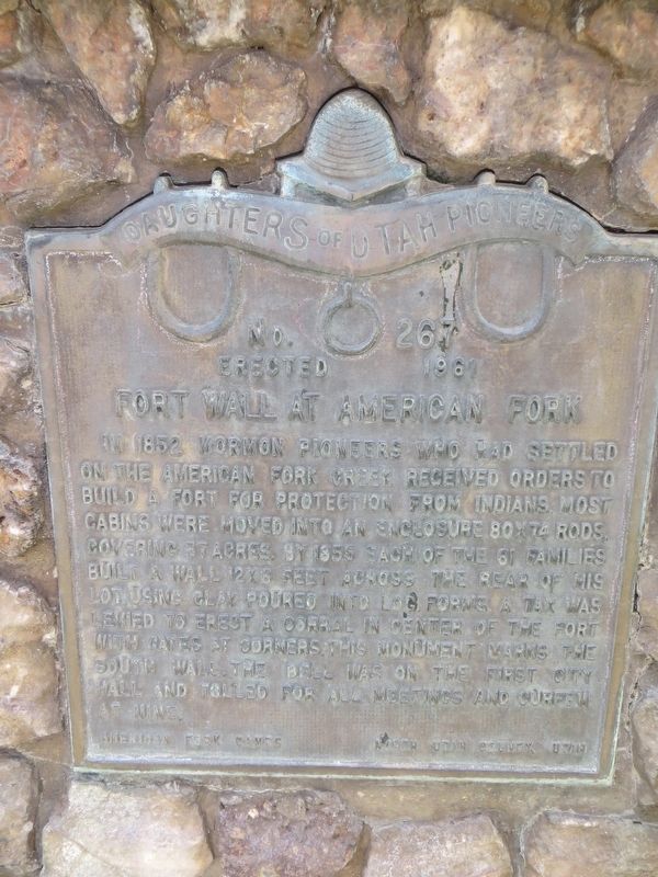
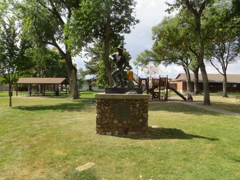
Fort Wall at American Fork
Erected 1961 by Daughters of Utah Pioneers. (Marker Number 267.)
Topics and series. This historical marker is listed in this topic list: Forts and Castles. In addition, it is included in the Daughters of Utah Pioneers series list. A significant historical year for this entry is 1852.
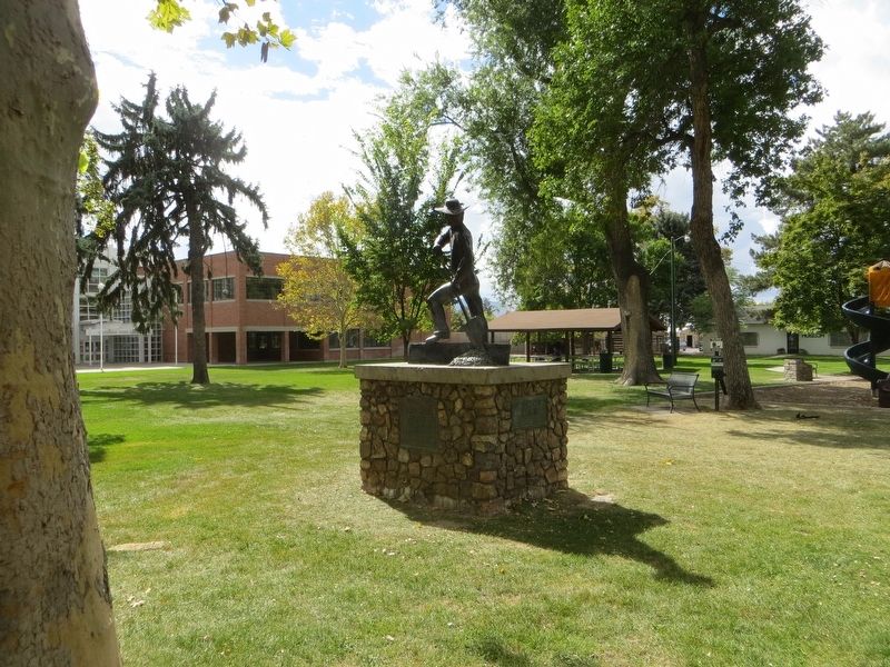
Location. 40° 22.569′ N, 111° 47.771′ W. Marker is in American Fork, Utah, in Utah County. Marker is on South 100 East south of East Main Street, on the right when traveling south. Touch for map. Marker is in this post office area: American Fork UT 84003, United States of America. Touch for directions.
Other nearby markers. At least 8 other markers are within walking distance of this marker. First Free Public School (within shouting distance of this marker); Bank of American Fork (about 700 feet away, measured in a direct line); The Historic City Hall Bell (about 700 feet away); American Fork City Hall (about 700 feet away); First Presbyterian Church of American Fork (about 700 feet away); Harrington Elementary School (approx. 0.2 miles away); Veterans Memorial Building (approx. 0.2 miles away); The American Fork 2nd Ward Meeting House (approx. 0.3 miles away). Touch for a list and map of all markers in American Fork.
Credits. This page was last revised on May 12, 2020. It was originally submitted on May 12, 2020, by Bill Kirchner of Tucson, Arizona. This page has been viewed 494 times since then and 60 times this year. Photos: 1, 2, 3. submitted on May 12, 2020, by Bill Kirchner of Tucson, Arizona.


