
Echo Hil Estates in Goodlettsville in Davidson County, Tennessee — The American South (East South Central)
New Bethel Baptist Church
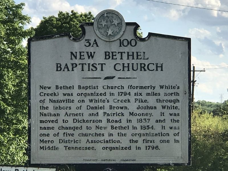
Photographed by Duane and Tracy Marsteller, May 10, 2020
1. New Bethel Baptist Church Marker
New Bethel Baptist Church (formerly White's Creek) was organized in 1794 six miles north of Nashville on White's Creek Pike, through the labors of Daniel Brown, Joshua White, Nathan Arnett and Patrick Mooney. It was moved to Dickerson Road in 1837 and the name changed to New Bethel in 1854. It was one of five churches in the organization of Mero District Association, the first one in Middle Tennessee, organized in 1796.
Erected by Tennessee Historical Commission. (Marker Number 3A 100.)
Topics and series. This historical marker is listed in this topic list: Religion & Religious Structures. In addition, it is included in the Tennessee Historical Commission series list. A significant historical year for this entry is 1794.
Location. 36° 17.817′ N, 86° 44.344′ W. Marker is in Goodlettsville, Tennessee, in Davidson County. It is in Echo Hil Estates. It is on Old Dickerson Road 0.1 miles north of Echo Hill Boulevard, on the left when traveling north. Touch for map. Marker is at or near this postal address: 1080 Old Dickerson Road, Goodlettsville TN 37072, United States of America. Touch for directions.

Regionally, this
this page online
Other nearby markers. At least 8 other markers are within 3 miles of this marker, measured as the crow flies: Patsy Cline's Dream House (approx. 1.1 miles away); Robert Cartwright (approx. 1.9 miles away); Goodlettsville High School (approx. 2.1 miles away); Goodlettsville Cumberland Presbyterian Church (approx. 2.1 miles away); In Memory of Casper Mansker (approx. 2.1 miles away); Mansker's Forts and Walton's Campground (approx. 2.1 miles away); Mansker’s Station (approx. 2.2 miles away); Mrs. John Donelson (approx. 2.2 miles away). Touch for a list and map of all markers in Goodlettsville.
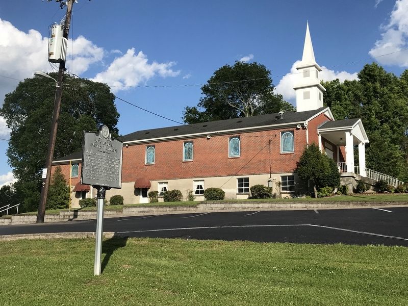
Photographed by Duane and Tracy Marsteller, May 10, 2020
2. New Bethel Baptist Church Marker
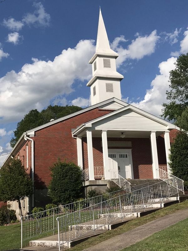
Photographed by Duane and Tracy Marsteller, May 10, 2020
3. New Bethel Baptist Church
Credits. This page was last revised on February 7, 2023. It was originally submitted on May 14, 2020, by Duane and Tracy Marsteller of Murfreesboro, Tennessee. This page has been viewed 648 times since then and 51 times this year. Photos: 1, 2, 3. submitted on May 14, 2020, by Duane and Tracy Marsteller of Murfreesboro, Tennessee. • J. Makali Bruton was the editor who published this page.
