Lehi in Utah County, Utah — The American Mountains (Southwest)
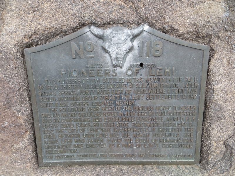
Pioneers of Lehi
Photographed by Bill Kirchner, October 2, 2018
1. Pioneers of Lehi Marker
The following year most of the families moved to higher ground on Dry Creek, selected in July 1850 by Canute Peterson and six companions, and established Evansville, named for Bishop David Evans. By legislative enactment, February 5, 1852 the “City of Lehi” was incorporated. It included the area between Utah Lake and the north foothills. The name Lehi was taken from the Book of Mormon. This monument was erected as a part of Lehi’s Centennial Celebration.
Erected 1950 by Utah Pioneer Trails and Landmarks Association. (Marker Number 118.)
Topics and series. This historical marker is listed in this topic list: Settlements & Settlers. In addition, it is included in the Utah Pioneer Trails and Landmarks Association series list. A significant historical date for this entry is February 5, 1852.
Location. 40° 22.337′ N, 111° 53.069′ W. Marker is in Lehi, Utah,
this page online

Regionally, this marker is in the Wasatch Front and in Greater Provo. It is also in the American Mountain West and on the Colorado Plateau. Globally, it is in North America, the Rocky Mountains, the Western Hemisphere, the Western World, and the Anglosphere. Historically, it finds itself in what was once New Spain and also Mexico’s Alta California.
Other nearby markers. At least 8 other markers are within 3 miles of this marker, measured as the crow flies: Sulphur Springs History (a few steps from this marker); Lehi Hotel (approx. 1.9 miles away); Lehi Meeting House (approx. 2 miles away); Lehi Relief Society Hall (approx. 2 miles away); Relief Society Hall (1881-1909) (approx. 2 miles away); Merrihew/Dalley Building (approx. 2.1 miles away); Lehi Memorial Building (approx. 2.2 miles away); Bishop David Evans (approx. 2.2 miles away). Touch for a list and map of all markers
Photographed by Bill Kirchner, October 2, 2018
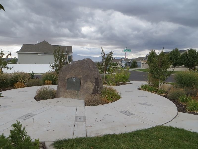
2. Pioneers of Lehi Marker
Photographed by Bill Kirchner, October 2, 2018
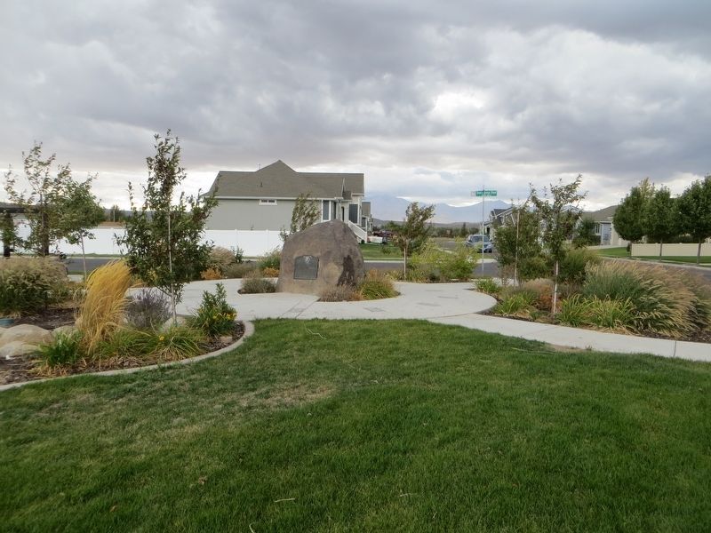
3. Pioneers of Lehi Marker
Credits. This page was last revised on May 14, 2020. It was originally submitted on May 14, 2020, by Bill Kirchner of Tucson, Arizona. This page has been viewed 1,021 times since then and 107 times this year. Photos: 1, 2, 3. submitted on May 14, 2020, by Bill Kirchner of Tucson, Arizona.
