Midvale in Salt Lake County, Utah — The American Mountains (Southwest)
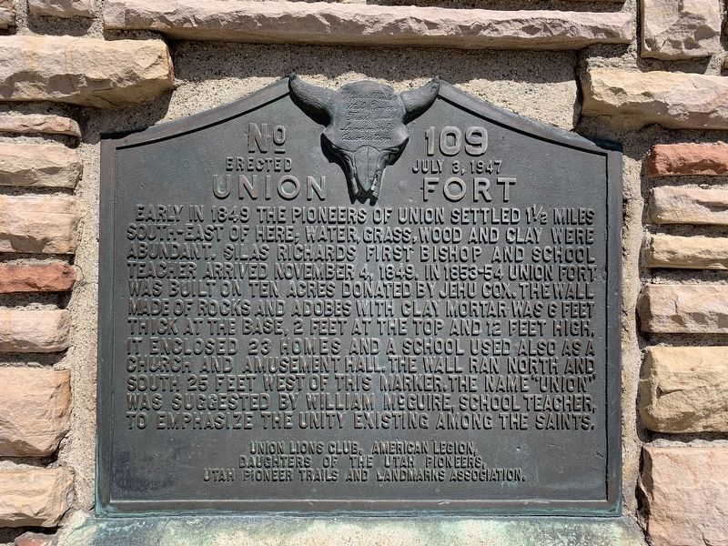
Union Fort
Erected 1947 by Union Lions Club, American Legion, Daughters of the Utah Pioneers, Utah Pioneer Trails and Landmarks Association. (Marker Number 109.)
Topics and series. This historical marker is listed in these topic lists: Churches & Religion • Forts and Castles • Settlements & Settlers. In addition, it is included in the Utah Pioneer Trails and Landmarks Association series list. A significant historical year for this entry is 1849.
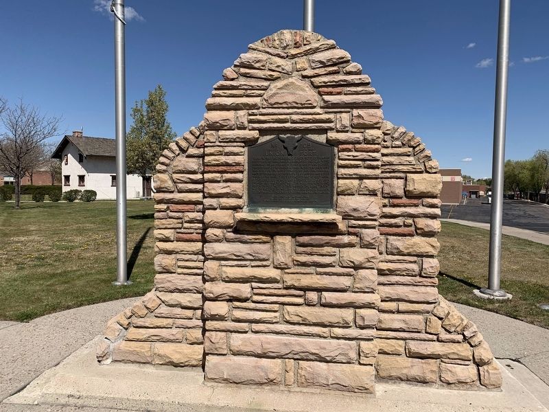
Location. 40° 37.269′ N, 111° 51.535′ W. Marker is in Midvale, Utah, in Salt Lake County. Marker can be reached from Union Park Avenue, on the right when traveling south. Marker is located in the parking area of a large shopping complex behind the Walmart Superstore. Touch for map. Marker is in this post office area: Midvale UT 84047, United States of America. Touch for directions.
Other nearby markers. At least 8 other markers are within 3 miles of this marker, measured as the crow flies. Traders Rest (approx. 1.7 miles away); Sandy-Alta Railroad (approx. 2.2 miles away); John & Myrtle Ostler House (approx. 2.2 miles away); John & Elizabeth Oldham House (approx. 2.2 miles away); Niels & Mary Ann Thompson House (approx. 2.3 miles away); John & Johanna Anderson House (approx. 2.3 miles away); Amos and Ida Jensen House (approx. 2.3 miles away); Church Takes Root in Sandy / Early Sandy Schools (approx. 2.4 miles away).
Credits. This page was last revised on May 18, 2020. It was originally submitted on May 15, 2020, by Tyler Thorsted of Orem, Utah. This page has been viewed 319 times since then and 52 times this year. Photos: 1, 2. submitted on May 15, 2020, by Tyler Thorsted of Orem, Utah. • Syd Whittle was the editor who published this page.

