Henefer in Summit County, Utah — The American Mountains (Southwest)
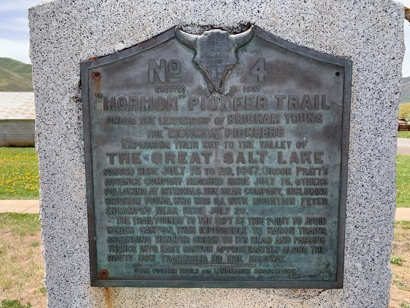
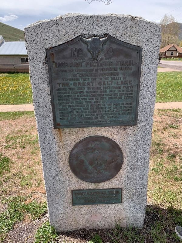
"Mormon" Pioneer Trail
the "Mormon" Pioneers
Exploring Their Way to the Valley of
The Great Salt Lake
The trail turned to the left at this point to avoid Weber Canyon, then impassable to wagon trains, ascending Henefer Creek to its head and passing thence into East Canyon approximately along the route now traversed by the highway.
Erected 1931 by Utah Pioneer Trails and Landmarks Association. (Marker Number 4.)
Topics and series. This historical marker is listed in these topic lists: Churches & Religion • Settlements & Settlers. In addition, it is included in the Mormon Pioneer Trail, the Pony Express National Historic Trail, and the Utah Pioneer Trails and Landmarks Association series lists. A significant historical year for this entry is 1847.
Location. 41° 1.075′ N, 111° 29.951′ W. Marker is in Henefer, Utah, in Summit County. Marker is on North Main Street (Utah Route 65) just south of 100 North, on the right when traveling south. Touch for map . Marker is at or near this postal address: 90 North Main Street, Henefer UT 84033, United States of America. Touch for directions.
Other nearby markers. At least 8 other markers are within 12 miles of this marker, measured as the crow flies. Welcome to Echo Canyon (approx. 5.3 miles away); Echo Canyon (approx. 5.4 miles away); The Road to Zion (approx. 5.4 miles away); The Founding of Coalville City (approx. 8.8 miles away); Old Rock School House (approx. 8.9 miles away); Votes for Women (approx. 9˝ miles away); Porterville (approx. 9.7 miles away); Old Fort and Hoyt Grist Mill (approx. 11.7 miles away).
Credits. This page was last revised on May 19, 2020. It was originally submitted on May 16, 2020, by Tyler Thorsted of Orem, Utah. This page has been viewed 492 times since then and 33 times this year. Photos: 1, 2. submitted on May 16, 2020, by Tyler Thorsted of Orem, Utah. • Syd Whittle was the editor who published this page.

