Near Hudson in Columbia County, New York — The American Northeast (Mid-Atlantic)
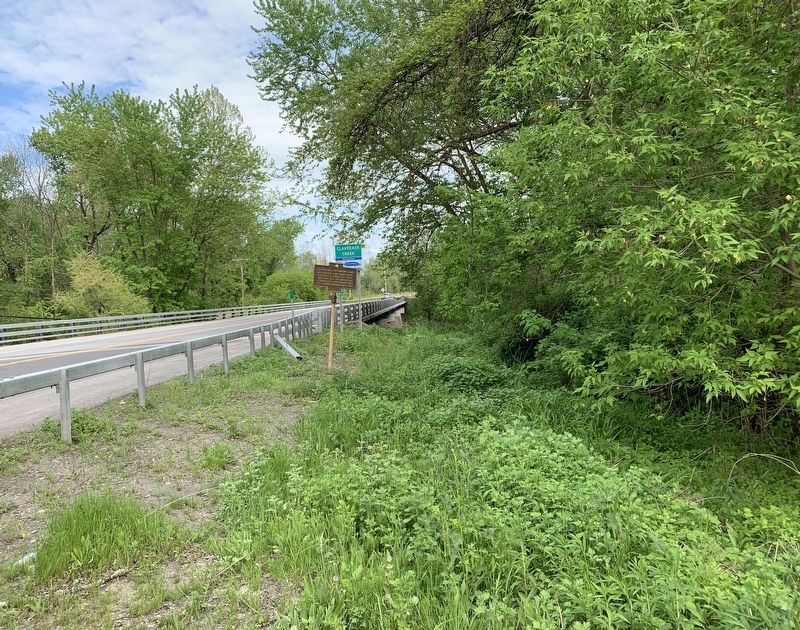
Claverack - Greenport Line
Hillsdale taken off 1782,
Hudson 1785. Organized as
a town 1788. Greenport set
off from Hudson City 1837
Erected 1935 by State Education Department.
Topics. This historical marker is listed in this topic list: Settlements & Settlers. A significant historical year for this entry is 1772.
Location. 42° 14.25′ N, 73° 45.407′ W. Marker is near Hudson, New York, in Columbia County. Marker is on New York State Route 23B, 0.1 miles south of Spook Rock Road (County Route 29), on the right. Marker is beside Claverack Creek. Touch for map. Marker is in this post office area: Hudson NY 12534, United States of America. Touch for directions.
Other nearby markers. At least 8 other markers are within 2 miles of this marker, measured as the crow flies. West Gate Tollhouse (approx. 0.2 miles away); Gen. Samuel B. Webb (approx. 0.8 miles away); Spook Rock (approx. 0.9 miles away); 128th New York State Volunteer Infantry (approx. 1.2 miles away); First Court House (approx. 1.2 miles away); Reformed Dutch Church of Claverack (approx. 1.3 miles away); Washington Seminary (approx. 1.4 miles away); Warren Inn (approx. 1.4 miles away). Touch for a list and map of all markers in Hudson.
Credits. This page was last revised on May 28, 2020. It was originally submitted on May 24, 2020, by Steve Stoessel of Niskayuna, New York. This page has been viewed 128 times since then and 14 times this year. Photos: 1, 2. submitted on May 24, 2020, by Steve Stoessel of Niskayuna, New York. • Bill Pfingsten was the editor who published this page.

