Huron in Erie County, Ohio — The American Midwest (Great Lakes)
The War of 1812
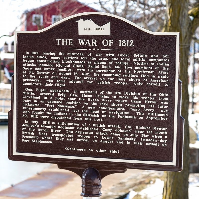
In 1812, fearing the outbreak of war with Great Britain and her Indian allies, many settlers left the area, and local militia companies began constructing blockhouses as places of refuge. Victims of Indian attacks included Michael Gibbs, Daniel Buel, and five members of the Snow and Butler families. With the surrender of the Northwest Army at Fort Detroit on August 16, 1812, the remaining settlers fled in panic to the south and east. The arrival on the lake shore of American prisoners, who some mistook for British troops, only served to accelerate their plight.
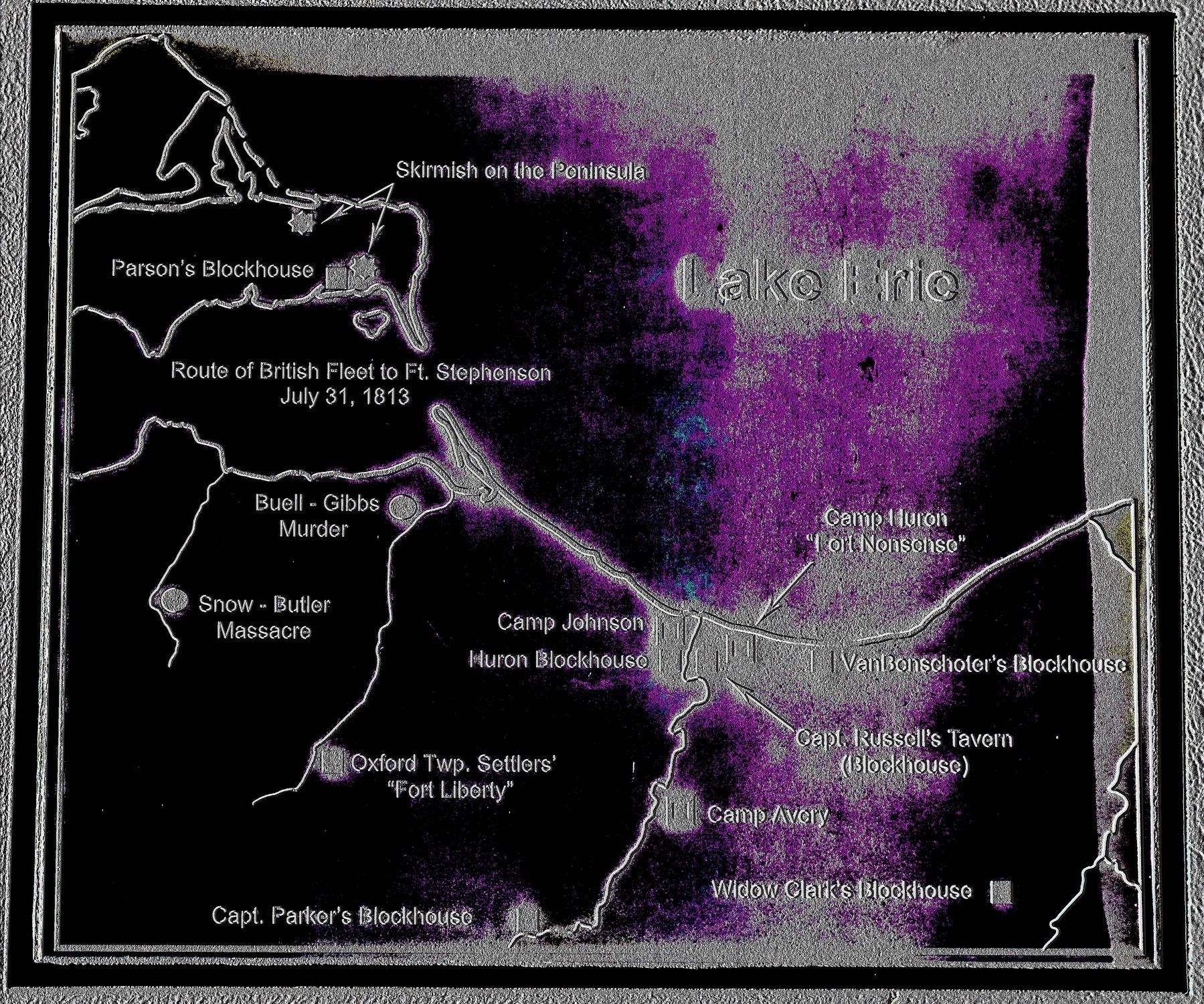
General Elijah Wadsworth, in command of the 4th Division of the Ohio Militia, ordered Brigadier General Simon Perkins to move his troops from Cleveland to a point near the Huron River where Camp Huron was built in an exposed position on the lake shore prompting its later nickname, “Fort Nonsense.” A new headquarters, Camp Avery, was subsequently established near the head of navigation. The militiamen who fought the Indians in the Skirmish on the Peninsula on September 29, 1812 were dispatched from this post.
In July, 1813 in anticipation of a British attack, Colonel Richard Mentor Johnson’s Mounted Regiment established “Camp Johnson” near the mouth of the Huron River. The expected attack came on July 31st when a British fleet transported troops to Lower Sandusky (modern-day Fremont) where they met defeat on August 2nd in their assault on Fort Stephenson.
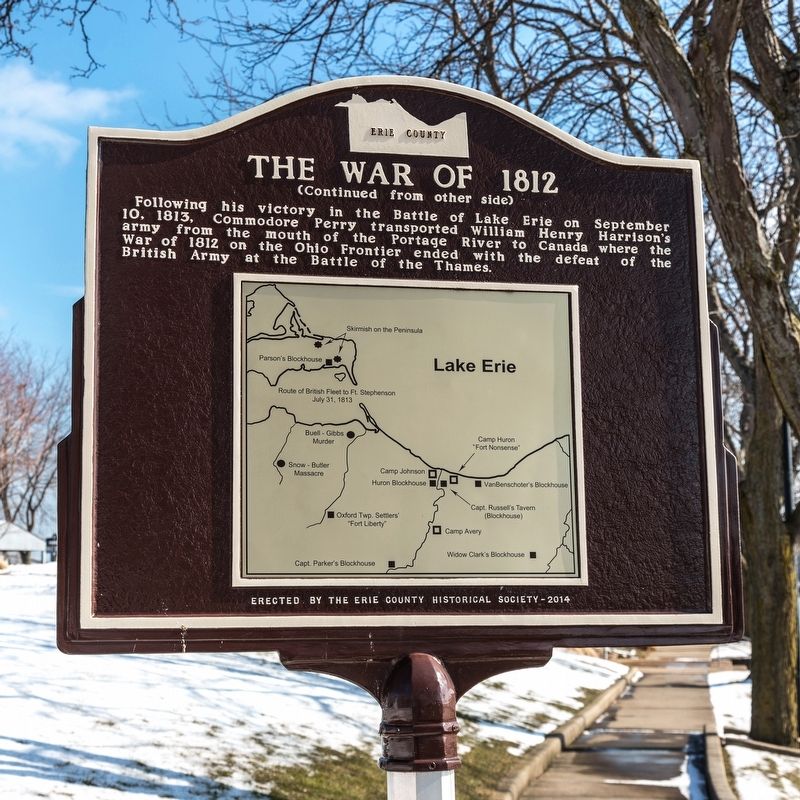
Following his victory in the Battle of Lake Erie on September 10, 1813, Commodore Perry transported William Henry Harrison’s army from the mouth of the Portage River to Canada where the War of 1812 on the Ohio Frontier ended with the defeat British Army at the Battle of the Thames.
Erected 2014 by the Erie County Historical Society.
Topics and series. This historical marker is listed in this topic list: War of 1812. In addition, it is included in the Former U.S. Presidents: #09 William Henry Harrison series list. A significant historical month for this entry is July 1813.
Location. 41° 23.654′ N, 82° 33.276′ W. Marker is in Huron, Ohio, in Erie County. Marker can be reached from the intersection of Main Street and Cleveland Road West. It is at the Huron Boat Basis (Anchor Point). Touch for map. Marker is at or near this postal address: 330 Main St, Huron OH 44839, United States of America. Touch for directions.
Other nearby markers. At least 8 other markers are within walking distance of this marker. The Wright House and the Underground Railroad/Old Main Street (within shouting distance of this marker); The Legacy of the Huron Docks (within shouting distance of this marker); The Huron Playhouse (approx. 0.2 miles away); World War II (approx. ¼ mile away); a different marker also named The Legacy of the Huron Docks (approx. ¼ mile away); John Baptiste Flemmond (approx. ¼ mile away); Christ Episcopal Church (approx. ¼ mile away); Huron / Erie County (approx. ¼ mile away). Touch for a list and map of all markers in Huron.
Also see . . . Historical marker remembers War of 1812. 2014 article by Tom Jackson in the Sandusky Register. Excerpt:
The text for the marker was written by Lou Schultz, a War of 1812 historian who lives in Sandusky and sits on the board of the Erie County Historical Society. The society paid about $3,500 to get the marker up.(Submitted on May 25, 2020.)
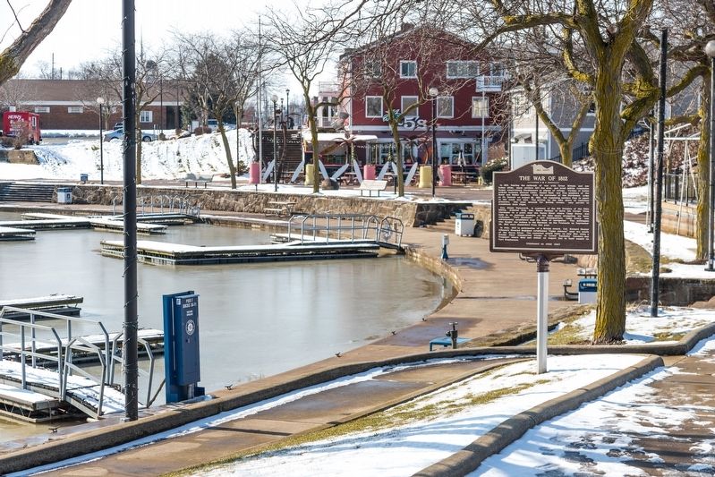
The marker is placed at a sidewalk near the boat basin, where it can be seen by anyone strolling by. It's a good location, Schultz says. “Most historical markers are by the side of the road,” he said, noting it is often not convenient to pull over and read them. It is also a good location because the Huron River marked the frontier in the early days of the War of 1812, when the British controlled Lake Erie.
After the fall of Detroit to the British, “everyone west of the Huron River basically fled,” Schultz said.
Credits. This page was last revised on May 25, 2020. It was originally submitted on May 25, 2020, by J. J. Prats of Powell, Ohio. This page has been viewed 431 times since then and 60 times this year. Photos: 1, 2, 3, 4. submitted on May 25, 2020, by J. J. Prats of Powell, Ohio.


