Near Chattanooga in Hamilton County, Tennessee — The American South (East South Central)
Incline Number One
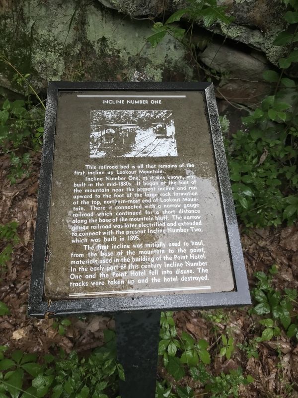
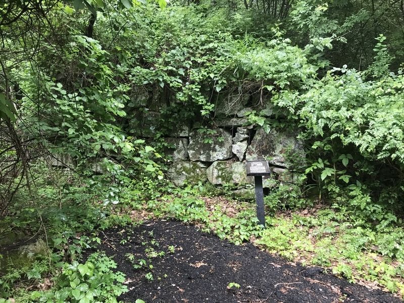
This railroad bed is all that remains of the first incline up Lookout Mountain.
Incline Number One, as it was known, was built in the mid-1880s. It began at the foot of the mountain near the present incline, and ran upward to the foot of the large rock formation at the top, northern-most end of Lookout Mountain. There it connected with a narrow gauge railroad which continued for a short distance along the base of the mountain bluff. The narrow gauge railroad was later electrified and extended to connect with the present Incline Number Two, which was built in 1895.
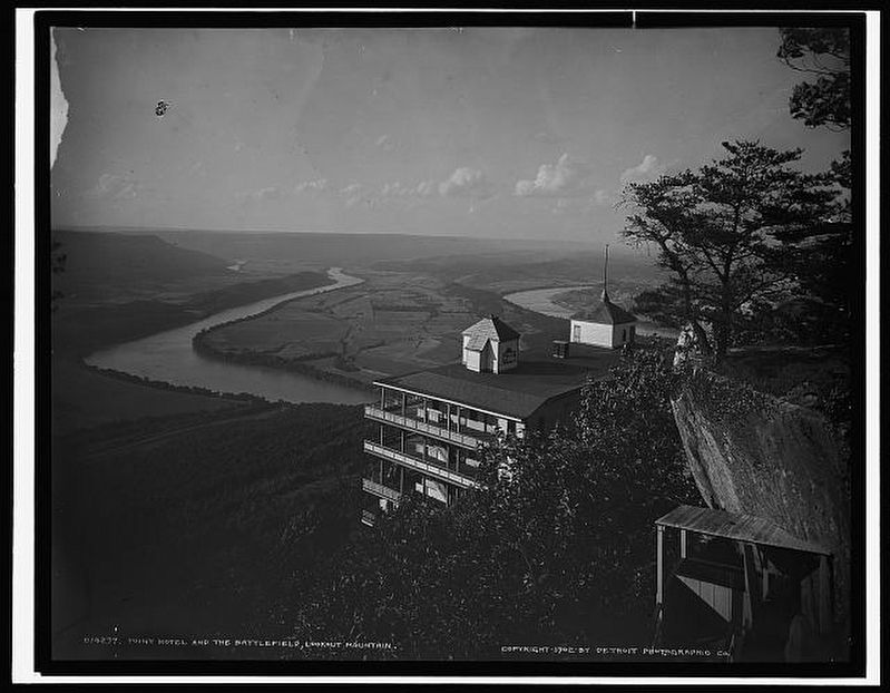
The first incline was initially used to haul, from the base of the mountain to the point, materials used in the building of the Point Hotel. In the early part of this century Incline Number One and the Point Hotel fell into disuse. The tracks were taken up and the hotel destroyed.
Topics. This historical marker is listed in this topic list: Railroads & Streetcars.
Location. 35° 0.582′ N, 85° 20.403′ W. Marker is near Chattanooga, Tennessee, in Hamilton County. Marker is on Shingle Road, 0.1 miles north of Linear Lane, on the left when traveling north. Touch for map. Marker is at or near this postal address: 1046 Shingle Rd, Chattanooga TN 37409, United States of America. Touch for directions.
Other nearby markers. At least 8 other markers are within walking distance of this marker. Stevenson's Division (about 300 feet away, measured in a direct line); Clayton's Brigade (about 400 feet away); Walthall's Brigade (about 400 feet away); Pettus' Brigade (about 400 feet away); Final Line (about 400 feet away); Moore's Brigade (about 600 feet away); Final Union Line (approx. 0.2 miles away); 2nd Ohio Infantry (approx. 0.2 miles away).
Also see . . . The Amazing Story of Lookout Mountain's Forgotten Incline Railway. History of the incline's inception, short life and quick demise, by RootsRated. Posted May 17, 2016. (Submitted on May 25, 2020, by Duane and Tracy Marsteller of Murfreesboro, Tennessee.)
Credits. This page was last revised on May 26, 2020. It was originally submitted on May 25, 2020, by Duane and Tracy Marsteller of Murfreesboro, Tennessee. This page has been viewed 371 times since then and 51 times this year. Photos: 1, 2, 3. submitted on May 25, 2020, by Duane and Tracy Marsteller of Murfreesboro, Tennessee. • Devry Becker Jones was the editor who published this page.


