Bruceville-Eddy in McLennan County, Texas — The American South (West South Central)
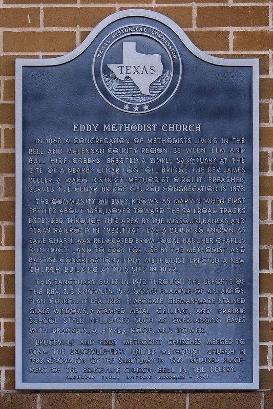
Eddy Methodist Church
The community of Eddy, known as Marvin when first settled about 1880, moved toward the railroad tracks extended through this area by the Missouri, Kansas, and Texas Railroad in 1882. That year a building known as Sage Chapel was relocated from local rancher Charles Dunning's Land to Eddy for use by the Methodist and Baptist congregations. Eddy Methodist erected a new church building at this site in 1892.
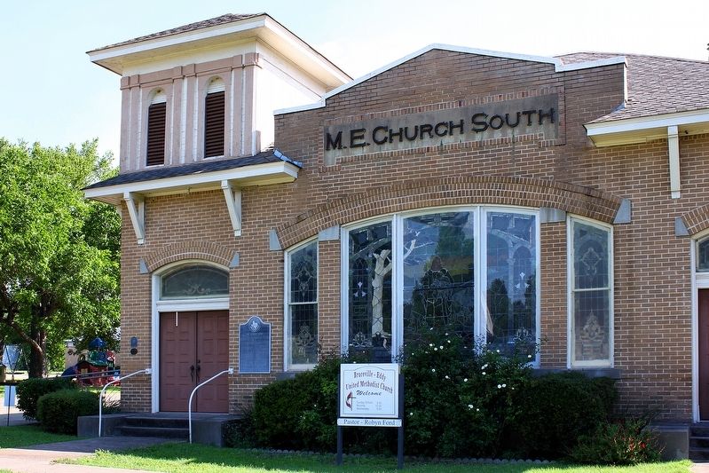
This sanctuary, built in 1912 through the efforts of the Rev. S.B. Knowles, is a good example of an Akron Plan church. It features elaborate German-made stained glass windows, a stamped metal ceiling, and Prairie School style influences such as overhanging eaves with brackets, a hipped roof, and tower.
Bruceville and Eddy Methodist Churches merged to form the Bruceville-Eddy United Methodist Church in 1983. Renovation of the sanctuary in 1993 included placement of the Bruceville church bell in the belfry.
Erected 1993 by Texas Historical Commission. (Marker Number 1386.)
Topics and series. This historical marker is listed in this topic list: Churches & Religion. In addition, it is included in the United Methodist Church Historic Sites series list. A significant historical year for this entry is 1868.
Location. 31° 17.811′ N, 97° 15.376′ W. Marker is in Bruceville-Eddy, Texas, in McLennan County. Marker is at the intersection of West 3rd Street (Farm to Market Road 107) and Ausborn Street, on the right when traveling west on West 3rd Street. Touch for map. Marker is at or near this postal address: 404 W 3rd St, Eddy TX 76524, United States of America. Touch for directions.
Other nearby markers. At least 8 other markers are within 6 miles of this marker, measured as the crow flies. Flowers House (about 500 feet away, measured in a direct line); First Baptist Church (about 500 feet away); Roy Bedichek (approx. 0.8 miles away); Bruceville Baptist Church (approx. 2 miles away); Site of Bruceville Methodist Church (approx. 2.2 miles away); Martin Irons (approx. 2.4 miles away); Lorena Cemetery (approx. 5.8 miles away); Moody United Methodist Church (approx. 6 miles away). Touch for a list and map of all markers in Bruceville-Eddy.
Credits. This page was last revised on May 29, 2020. It was originally submitted on May 29, 2020, by Larry D. Moore of Del Valle, Texas. This page has been viewed 207 times since then and 50 times this year. Photos: 1, 2. submitted on May 29, 2020, by Larry D. Moore of Del Valle, Texas.

