Upperville in Fauquier County, Virginia — The American South (Mid-Atlantic)
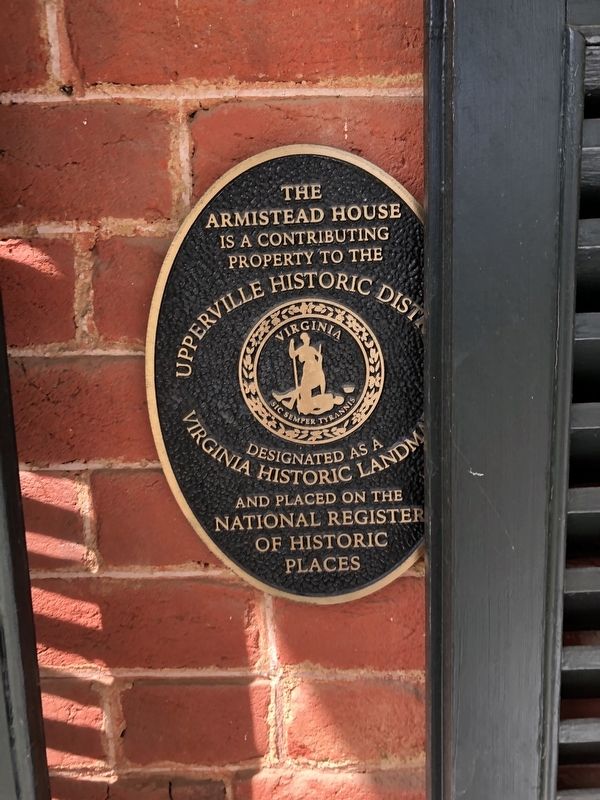
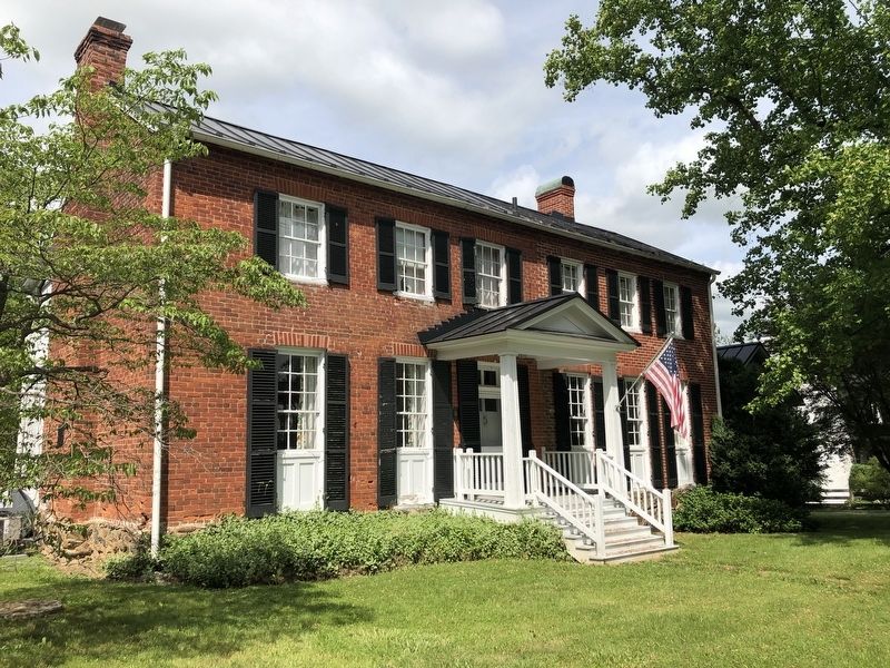
The Armistead House
Armistead House
is a contributing
property to the
Upperville Historic District
designated as a
Virginia Historic Landmark
and placed on the
National Register
of Historic
Places
Topics. This historical marker is listed in these topic lists: Architecture • Settlements & Settlers.
Location. 38° 59.598′ N, 77° 52.795′ W. Marker is in Upperville, Virginia, in Fauquier County. Marker is on John S. Mosby Highway (U.S. 50) just east of Lafayette Street, on the left when traveling east. Touch for map. Marker is at or near this postal address: 9082 John S Mosby Hwy, Upperville VA 20184, United States of America. Touch for directions.
Other nearby markers. At least 8 other markers are within walking distance of this marker. The Gibson House (within shouting distance of this marker); The Upperville Library (about 300 feet away, measured in a direct line); This Stone (about 500 feet away); Mary Elizabeth Conover Mellon (about 800 feet away); The Smith House (approx. 0.2 miles away); Upperville (approx. half a mile away); Battle of Unison (approx. half a mile away); Lee Moves North Again (approx. 0.6 miles away). Touch for a list and map of all markers in Upperville.
Credits. This page was last revised on August 10, 2020. It was originally submitted on May 29, 2020, by Devry Becker Jones of Washington, District of Columbia. This page has been viewed 309 times since then and 47 times this year. Photos: 1, 2. submitted on May 29, 2020, by Devry Becker Jones of Washington, District of Columbia.

