Original Town Mesquite in Dallas County, Texas — The American South (West South Central)
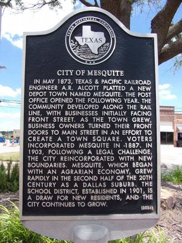
City of Mesquite
In May 1873, Texas & Pacific Railroad engineer A.R. Alcott platted a new depot town named Mesquite. The post office opened the following year. The community developed along the rail line, with businesses initially facing Front Street. As the town grew, business owners turned their front doors to Main Street in an effort to create a Town Square. Voters incorporated Mesquite in 1887. In 1903, following a legal challenge, the city re-incorporated with new boundaries. Mesquite, which began with an Agrarian economy, grew rapidly in the second half of the 20th century as a Dallas suburb. The school district, established in 1901, is a draw for new residents, and the city continues to grow.
Erected 2004 by Texas Historical Commission. (Marker Number 13120.)
Topics. This historical marker is listed in these topic lists: Industry & Commerce • Railroads & Streetcars.
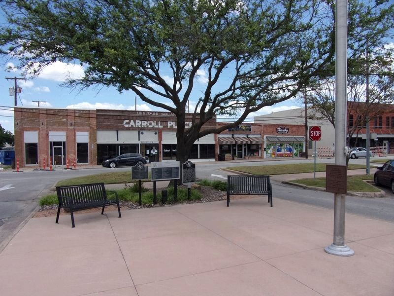
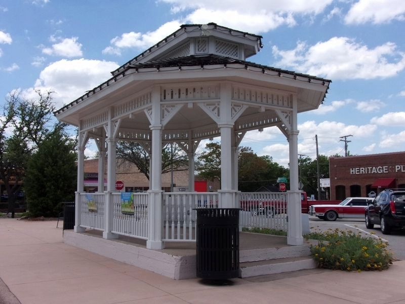
Location. 32° 46.01′ N, 96° 36.06′ W. Marker is in Mesquite, Texas, in Dallas County. It is in Original Town Mesquite. Marker is on Broad Street west of Lancaster Avenue, on the left when traveling west. The marker is in Heritage Square Park facing the white gazebo. Touch for map. Marker is at or near this postal address: 100 Broad Street, Mesquite TX 75149, United States of America. Touch for directions.
Other nearby markers. At least 8 other markers are within walking distance of this marker. Sam Bass Train Robbery (here, next to this marker); Holley-McWhorter-Greenhaw Families (within shouting distance of this marker); First Methodist Church of Mesquite (approx. 0.2 miles away); Public Education in Mesquite (approx. ¼ mile away); City Lake Park (approx. 0.3 miles away); Mesquite Cemetery (approx. 0.3 miles away); CCC Company 850 (approx. half a mile away); Lawrence Farmstead (approx. 0.7 miles away). Touch for a list and map of all markers in Mesquite.
Credits. This page was last revised on February 2, 2023. It was originally submitted on June 1, 2020, by Kayla Harper of Dallas, Texas. This page has been viewed 235 times since then and 31 times this year. Photos: 1, 2, 3. submitted on June 1, 2020, by Kayla Harper of Dallas, Texas. • J. Makali Bruton was the editor who published this page.


