Near Nipton in San Bernardino County, California — The American West (Pacific Coastal)
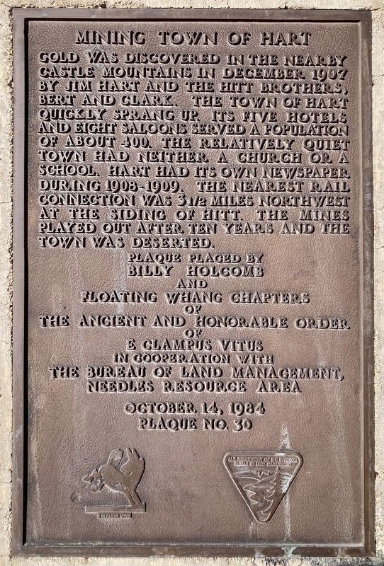
Mining Town of Hart
Erected 1984 by Billy Holcomb and Floating Wang Chapters E Clampus Vitus, and Bureau of Land Mgmt-Needles Resouce Area. (Marker Number 30.)
Topics and series. This historical marker is listed in these topic lists: Industry & Commerce • Natural Resources • Settlements & Settlers. In addition, it is included in the E Clampus Vitus series list. A significant historical month for this entry is December 1907.
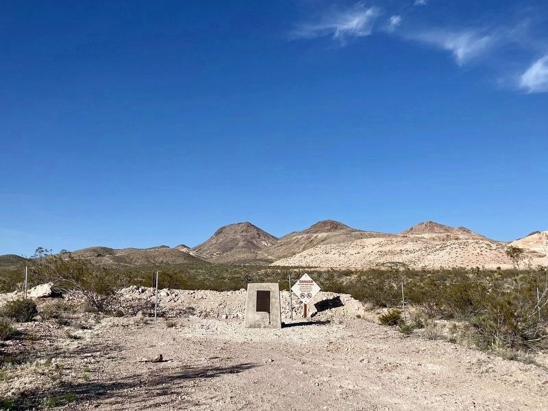
Location. 35° 17.047′ N, 115° 6.883′ W. Marker is near Nipton, California, in San Bernardino County. Marker is on Hart Mine Road, 0.4 miles east of Walking Box Ranch Road. Take Walking Box Ranch Road 17 miles south from Highway 164, then walk or drive a half mile east on a rough dirt road to the marker. Touch for map. Marker is in this post office area: Nipton CA 92364, United States of America. Touch for directions.
Other nearby markers. At least 5 other markers are within 17 miles of this marker, measured as the crow flies. Fort Pah-Ute (approx. 13.8 miles away); Nipton (approx. 15.4 miles away); George Frederick Colton and the Duplex Mine (approx. 16˝ miles away in Nevada); Willie Martello and the El Rey Resort (approx. 16.6 miles away in Nevada); Searchlight (approx. 16.7 miles away in Nevada).
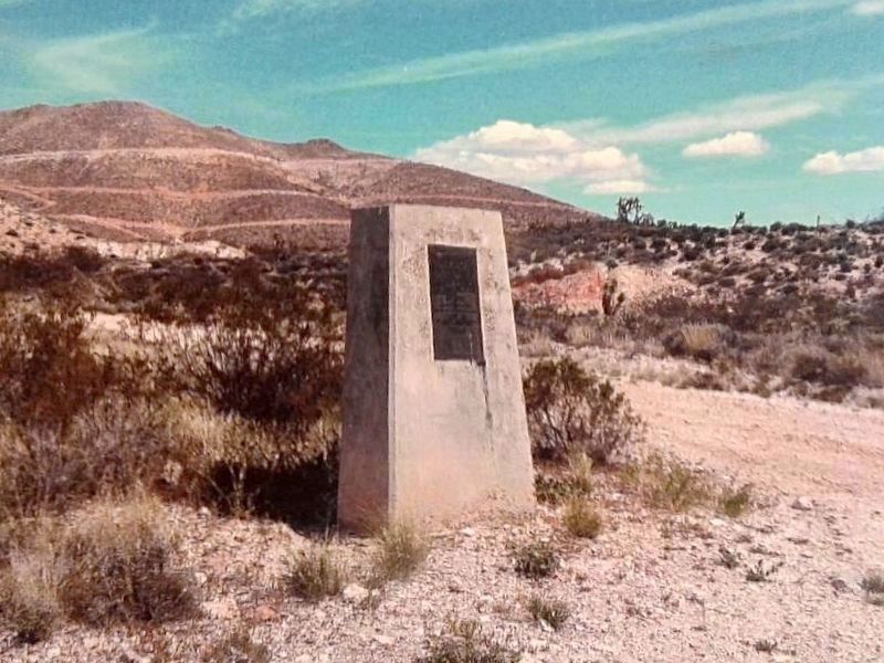
More about this marker. Mining operations have started up again. The marker is now located just outside the private property. It is ⅓ mile west of its original location.
Credits. This page was last revised on February 29, 2024. It was originally submitted on June 4, 2020, by Craig Baker of Sylmar, California. This page has been viewed 225 times since then and 49 times this year. Photos: 1, 2. submitted on April 23, 2023, by Craig Baker of Sylmar, California. 3, 4. submitted on June 4, 2020, by Craig Baker of Sylmar, California. • Syd Whittle was the editor who published this page.


