Ontario in San Bernardino County, California — The American West (Pacific Coastal)
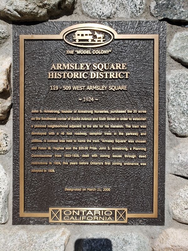
Armsley Square Historic District
119 - 509 West Armsley Square
— 1924 —
Erected 2000.
Topics. This historical marker is listed in this topic list: Settlements & Settlers. A significant historical year for this entry is 1924.
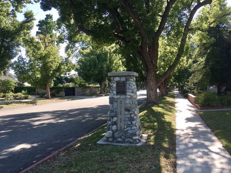
Location. 34° 5.038′ N, 117° 39.087′ W. Marker is in Ontario, California, in San Bernardino County. Marker is at the intersection of Armsley Square and Euclid Avenue, on the right when traveling west on Armsley Square. The marker is on a stone column next to the sidewalk on Armsley Square, facing Euclid Avenue. Touch for map. Marker is at or near this postal address: 1429 Euclid Avenue, Ontario CA 91762, United States of America. Touch for directions.
Other nearby markers. At least 8 other markers are within one mile of this marker, measured as the crow flies. College Park Historic District (approx. 0.4 miles away); Olive Mill (approx. 0.4 miles away); Rosewood Court Historic District (approx. half a mile away); El Morado Court Historic District (approx. 0.8 miles away); Central School (approx. 0.9 miles away); Upland Public Library (approx. one mile away); San Antonio Hospital History (approx. one mile away); Veterans' Monument Project (approx. one mile away). Touch for a list and map of all markers in Ontario.
Credits. This page was last revised on June 18, 2020. It was originally submitted on June 8, 2020, by Levi Gonzalez of Rancho Cucamonga, California. This page has been viewed 238 times since then and 54 times this year. Photos: 1. submitted on June 8, 2020, by Levi Gonzalez of Rancho Cucamonga, California. 2. submitted on June 12, 2020, by Craig Baker of Sylmar, California. • Syd Whittle was the editor who published this page.

