Underhill in Chittenden County, Vermont — The American Northeast (New England)
District No. 5 Schoolhouse
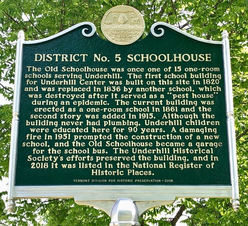
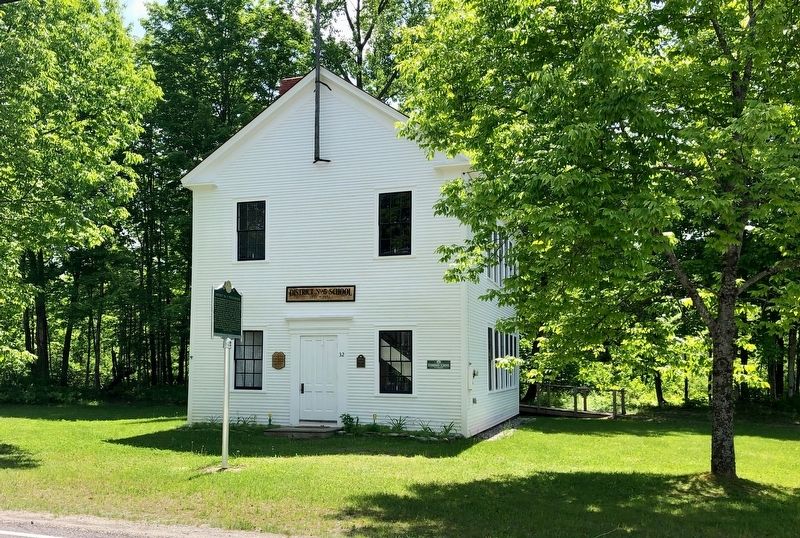
The Old Schoolhouse was once one of 15 one-room schools serving Underhill. The first school building for Underhill Center was built on this site in 1820 and was replaced in 1836 by another school, which was destroyed after it served as a “pest house” during an epidemic. The current building was erected as a one-room school in 1861 and the second story was added in 1915. Although the building never had plumbing, Underhill children were educated here for 90 years. A damaging fire in 1951 prompted the construction of a new school, and the Old Schoolhouse became a garage for the school bus. The Underhill Historical Society’s efforts preserved the building, and in 2018 it was listed in the National Register of Historic Places.
Erected 2019 by Vermont Division for Historic Preservation.
Topics. This historical marker is listed in this topic list: Education. A significant historical year for this entry is 1861.
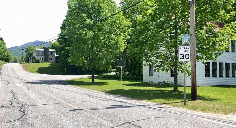
Location. 44° 30.534′ N, 72° 53.73′ W. Marker is in Underhill, Vermont, in Chittenden County. Marker is at the intersection of Pleasant Valley Road and Stevensville Road, on the right when traveling north on Pleasant Valley Road. Touch for map. Marker is at or near this postal address: 32 Pleasant Valley Road, Underhill VT 05489, United States of America. Touch for directions.
Other nearby markers. At least 8 other markers are within 10 miles of this marker, measured as the crow flies. Mount Mansfield Natural Area (approx. 4.1 miles away); "Snowflake" Bentley (approx. 4.7 miles away); Chittenden Mills (approx. 5.1 miles away); Edmunds' Birthplace (approx. 8.4 miles away); The Long Trail (approx. 9 miles away); The Round Church / Richmond, Vermont (approx. 9.1 miles away); The Citizens of Richmond (approx. 9.2 miles away); Richmond's Fallen Son (approx. 9.2 miles away).
Credits. This page was last revised on June 13, 2020. It was originally submitted on June 9, 2020, by Dennis Gilkenson of Saxtons River, Vermont. This page has been viewed 183 times since then and 25 times this year. Photos: 1, 2, 3. submitted on June 9, 2020, by Dennis Gilkenson of Saxtons River, Vermont. • Michael Herrick was the editor who published this page.


