Muleshoe in Bailey County, Texas — The American South (West South Central)
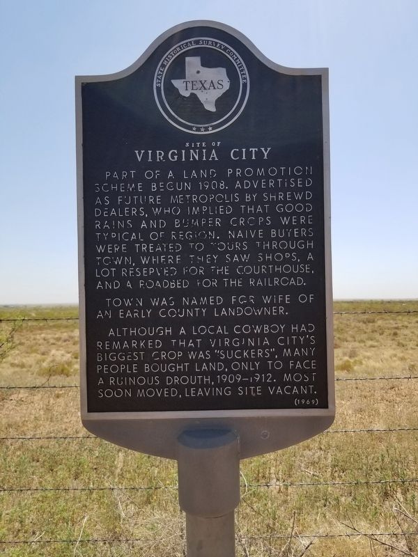
Site of Virginia City
Town was named for wife of an early county landowner.
Although a local cowboy had remarked that Virginia City's biggest crop was "suckers", many people bought land, only to face a ruinous drought, 1909-1912. Most soon moved, leaving site vacant.
Erected 1969 by State Historical Survey Committee. (Marker Number 4909.)
Topics. This historical marker is listed in this topic list: Settlements & Settlers. A significant historical year for this entry is 1908.
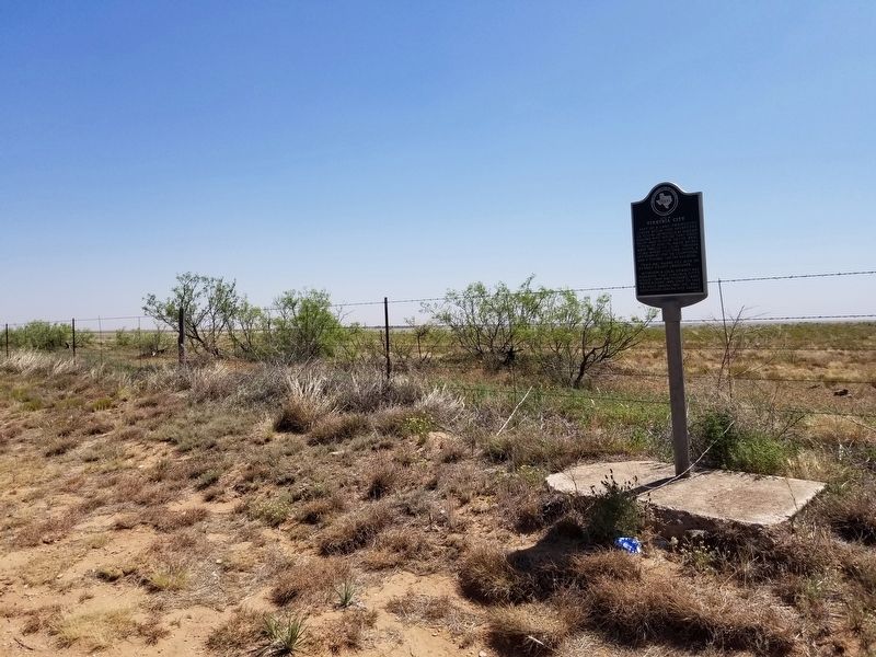
Location. 33° 58.739′ N, 102° 54.266′ W. Marker is in Muleshoe, Texas, in Bailey County. Marker is on FM 1731, on the left when traveling south. The marker is on County Road FM 1731, 20 miles southwest of Muleshoe. Touch for map. Marker is in this post office area: Sudan TX 79371, United States of America. Touch for directions.
Other nearby markers. At least 6 other markers are within 18 miles of this marker, measured as the crow flies. Coyote Lake (approx. 8˝ miles away); Maple Cemetery (approx. 8.7 miles away); Muleshoe National Wildlife Refuge (approx. 9˝ miles away); La Pista de Vida Agua (approx. 9.6 miles away); Enochs Cemetery (approx. 10.9 miles away); XIT Ranch South Line (approx. 17.1 miles away).
Credits. This page was last revised on June 14, 2020. It was originally submitted on June 14, 2020, by Allen Lowrey of Amarillo, Texas. This page has been viewed 220 times since then and 26 times this year. Photos: 1, 2, 3. submitted on June 14, 2020, by Allen Lowrey of Amarillo, Texas. • J. Makali Bruton was the editor who published this page.


