Near Hereford in Deaf Smith County, Texas — The American South (West South Central)
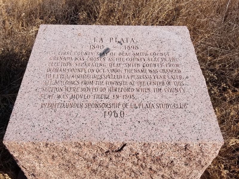
La Plata
1890-1898
Photographed by Allen Lowrey, June 13, 2020
1. La Plata Marker
First county seat of Deaf Smith County. Grenada was chosen as the county seat in the election separating Deaf Smith County from Oldham County on Oct. 3, 1890. The name was changed to La Plata (sometimes spelled La Platta). A year later all buildings from the townsite at the center of this section were moved to Hereford when the county seat was moved there in 1898.
Erected under sponsorship of La Plata Study Club
1960
Erected 1960 by Erected under sponsorship of La Plata Study Club 1960, State of Texas. (Marker Number 3003.)
Topics. This historical marker is listed in this topic list: Settlements & Settlers. A significant historical year for this entry is 1890.
Location. 34° 58.207′ N, 102° 35.924′ W. Marker is near Hereford, Texas, in Deaf Smith County. It is on County Road 16, on the right when traveling west. To find the marker from Hereford take US 385 north 14 miles, turn west onto FM 1412 and continue for 11 miles, then follow County Road MM south 4 miles to marker. Touch for map. Marker is in this post office area: Hereford TX 79045, United States of America. Touch for directions.

Regionally, this marker is on
this page online
Other nearby markers. At least 8 other markers are within 16 miles of this marker, measured as the crow flies: Mothers Park (approx. 15.1 miles away); The Thompson House (approx. 15.2 miles away); Hereford Christian College (approx. 15.3 miles away); Town Without a Toothache (approx. 15.3 miles away); Quanah Parker Trail (approx. 15.4 miles away); Hereford High School (approx. 15.4 miles away); The E.B. Black Residence (approx. 15.4 miles away); Two-Wheel Fire Hose Reel (approx. 15.4 miles away). Touch for a list and map of all markers in Hereford.
Photographed by Allen Lowrey, June 13, 2020
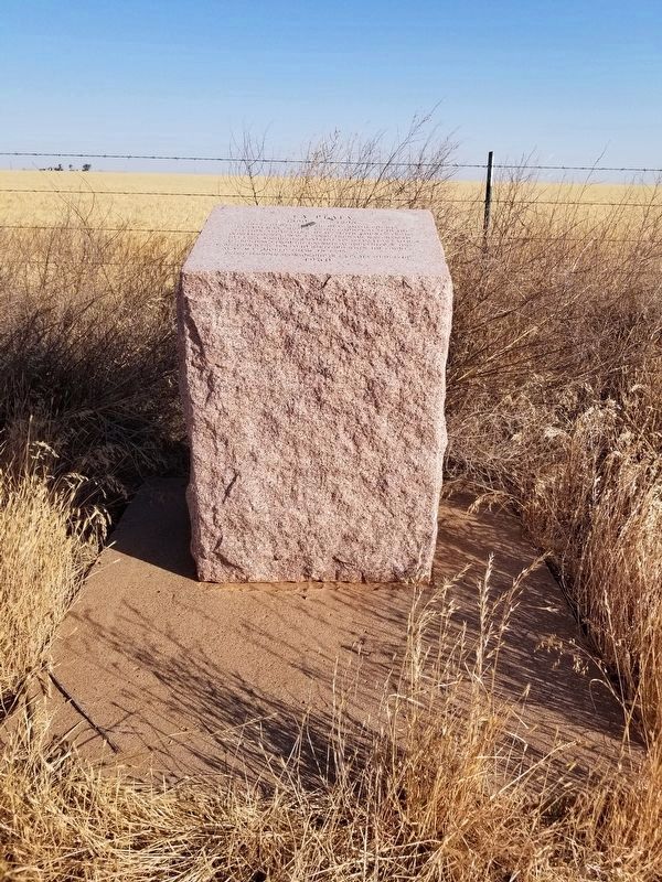
2. La Plata Marker
Photographed by Allen Lowrey, June 13, 2020
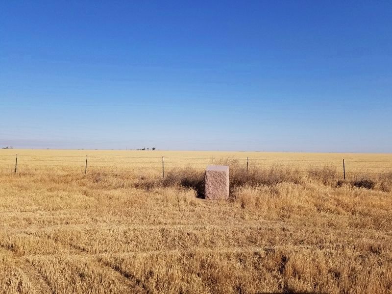
3. La Plata Marker
Credits. This page was last revised on June 15, 2020. It was originally submitted on June 14, 2020, by Allen Lowrey of Amarillo, Texas. This page has been viewed 1,061 times since then and 173 times this year. Last updated on June 15, 2020, by Allen Lowrey of Amarillo, Texas. Photos: 1, 2, 3. submitted on June 14, 2020, by Allen Lowrey of Amarillo, Texas. • J. Makali Bruton was the editor who published this page.
