Farwell in Parmer County, Texas — The American South (West South Central)
Oklahoma Lane
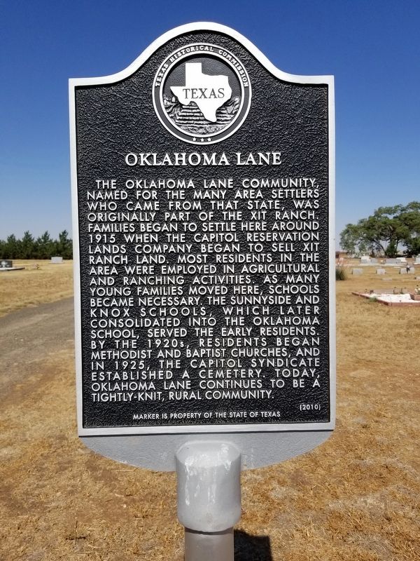
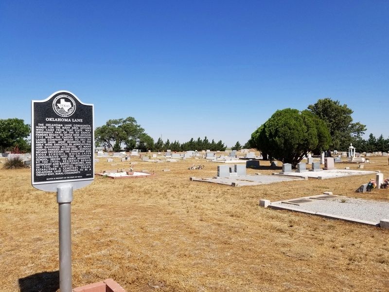
The Oklahoma Lane Community, named for the many area settlers who came from that state, was originally part of the XIT Ranch. Families began to settle here around 1915 when the Capitol Reservation Lands Company began to sell XIT ranch land. Most residents in the area were employed in agricultural and ranching activities. As many young families moved here, schools became necessary. The Sunnyside and Knox schools, which later consolidated into the Oklahoma School, served the early residents. By the 1920s, residents began Methodist and Baptist churches, and in 1925, the Capitol Lane Syndicate established a cemetery. Today, Oklahoma Lanes continues to be a tightly-knit, rural community.
Marker is property of the State of Texas
Erected 2010 by Texas Historical Commission. (Marker Number 16492.)
Topics. This historical marker is listed in this topic list: Settlements & Settlers.
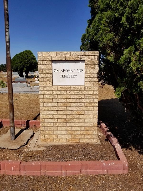
Location. 34° 21.363′ N, 102° 53.178′ W. Marker is in Farwell, Texas, in Parmer County. Marker is on FM 1731, on the left when traveling north. The marker is 10 miles east of Farwell, then turn north on Hwy 1731, 1.5 miles to the Oklahoma Lane Cemetery. Touch for map. Marker is in this post office area: Farwell TX 79325, United States of America. Touch for directions.
Other nearby markers. At least 8 other markers are within 11 miles of this marker, measured as the crow flies. Harden A. Douglass (approx. 8.4 miles away); Bailey County Cemetery (approx. 8.4 miles away); Hopping-Aldridge House (approx. 8.9 miles away); Parmer County (approx. 9 miles away); Olivet Cemetery (approx. 9 miles away); Near Route of the Coronado Expedition (approx. 9 miles away); Farwell, Texas (approx. 9 miles away); Bovina Cemetery (approx. 10.8 miles away). Touch for a list and map of all markers in Farwell.
Credits. This page was last revised on June 15, 2020. It was originally submitted on June 14, 2020, by Allen Lowrey of Amarillo, Texas. This page has been viewed 283 times since then and 45 times this year. Last updated on June 15, 2020, by Allen Lowrey of Amarillo, Texas. Photos: 1, 2, 3. submitted on June 14, 2020, by Allen Lowrey of Amarillo, Texas. • J. Makali Bruton was the editor who published this page.


