Lower Greenville in Dallas in Dallas County, Texas — The American South (West South Central)
Munger Place Methodist Church
Photographed by Kayla Harper, June 14, 2020
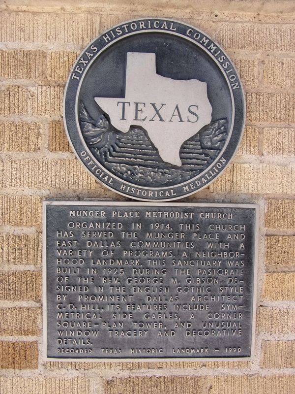
1. Munger Place Methodist Church Marker
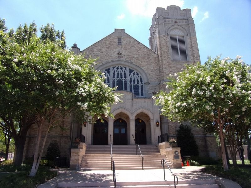
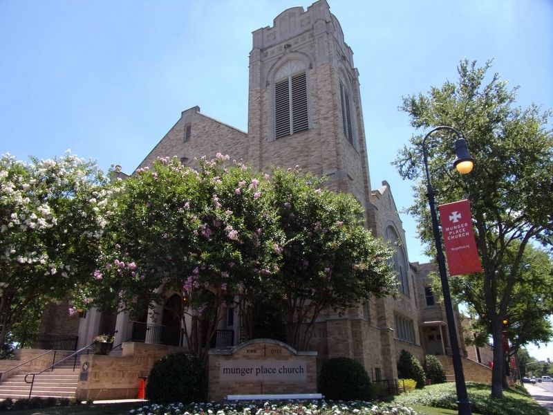
Organized in 1914, this church has served the Munger Place and East Dallas communities with a variety of programs. A neighborhood landmark, this sanctuary was built in 1925 during the pastorate of the Rev. George M. Gibson. Designed in the English Gothic style by prominent Dallas architect C. D. Hill, its features include symmetrical side gables, a corner square-plan tower, and unusual window tracery and decorative details.
Recorded Texas Historic Landmark - 1990
Erected 1990 by Texas Historical Commission. (Marker Number 6792.)
Topics. This historical marker is listed in these topic lists: Architecture • Religion & Religious Structures.
Location. 32° 48.404′ N, 96° 46.186′ W. Marker is in Dallas, Texas, in Dallas County. It is in Lower Greenville. It is at the intersection of Greenville Avenue and North Munger Boulevard, on the left when traveling south on Greenville Avenue. The marker is at the crossroads of Bryan Street, Greenville Avenue and Munger Boulevard. Touch for map. Marker is at or near this postal address: 5200 Bryan Street, Dallas TX 75206, United
this page online

Regionally, this marker is in the Prairies & Lakes Region. Globally, it is in North America, a Gulf of Mexico state, the Western Hemisphere, the Western World, and the Anglosphere. Historically, it finds itself in what was once New Spain, the Republic of Texas, one of the Confederate States of America, and the Antebellum South.
Other nearby markers. At least 8 other markers are within walking distance of this marker: The Louis Wagner Home (about 700 feet away, measured in a direct line); St. Matthew's Cathedral (approx. 0.2 miles away); Swiss Avenue (approx. 0.3 miles away); The Aldredge House (approx. 0.3 miles away); Harris-Savage House (approx. half a mile away); Alexander Mansion (approx. 0.6 miles away); Cristler-Rodgers House (approx. 0.6 miles away); William B. Lipscomb Elementary School (approx. ¾ mile away). Touch for a list and map of all markers in Dallas.
Another marker is no longer nearby. Dallas County Medical Society Alliance Foundation (was approx. 0.3 miles away but has been confirmed missing).
Photographed by Kayla Harper, June 14, 2020
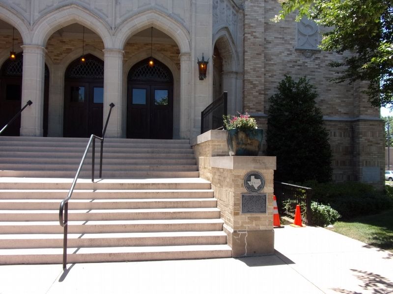
2. Munger Place Methodist Church Marker
Photographed by Kayla Harper, June 14, 2020
3. Munger Place Methodist Church
Photographed by Kayla Harper, June 14, 2020
4. Munger Place Methodist Church
Credits. This page was last revised on February 2, 2023. It was originally submitted on June 15, 2020, by Kayla Harper of Dallas, Texas. This page has been viewed 559 times since then and 69 times this year. Photos: 1, 2, 3, 4. submitted on June 15, 2020, by Kayla Harper of Dallas, Texas. • J. Makali Bruton was the editor who published this page.
