Near Burns in Dickson County, Tennessee — The American South (East South Central)
The Old Log House
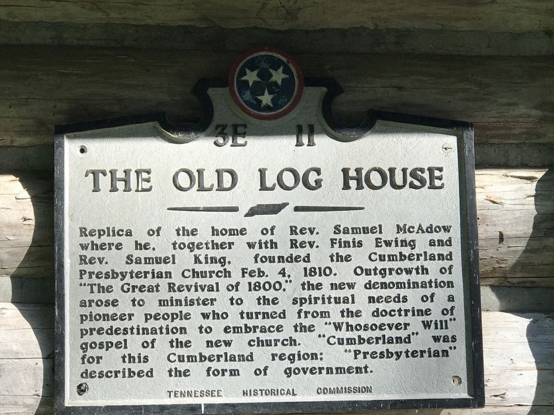
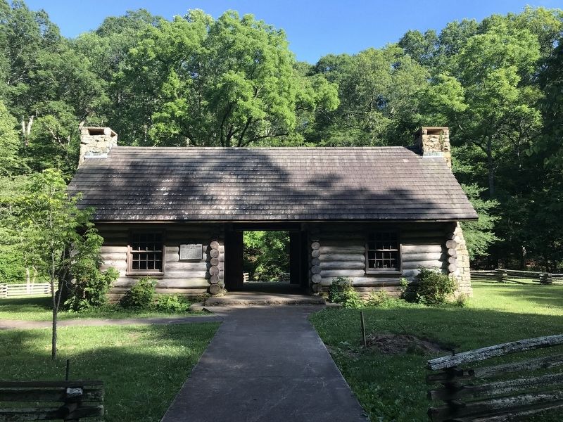
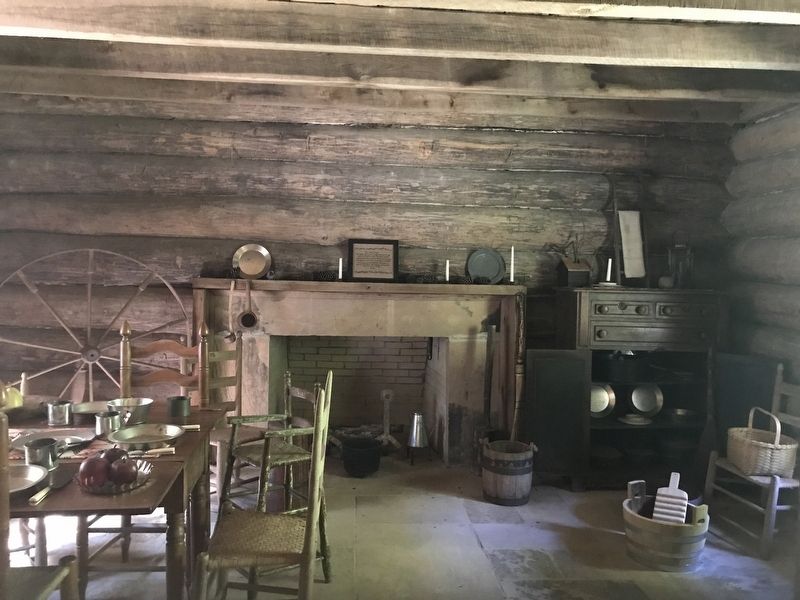
Replica of the home of Rev. Samuel McAdow where he, together with Rev. Finis Ewing and Rev. Samuel King, founded the Cumberland Presbyterian Church Feb. 4, 1810. Outgrowth of “The Great Revival of 1800,” the new denomination arose to minister to the spiritual needs of a pioneer people who turned from the doctrine of predestination to embrace the “Whosoever Will” gospel of the new church. “Cumberland” was for this Cumberland region; “Presbyterian” described the form of government.
Erected by Tennessee Historical Association. (Marker Number 3E 11.)
Topics and series. This historical marker is listed in these topic lists: Architecture • Churches & Religion. In addition, it is included in the Tennessee Historical Commission series list. A significant historical date for this entry is February 4, 1810.
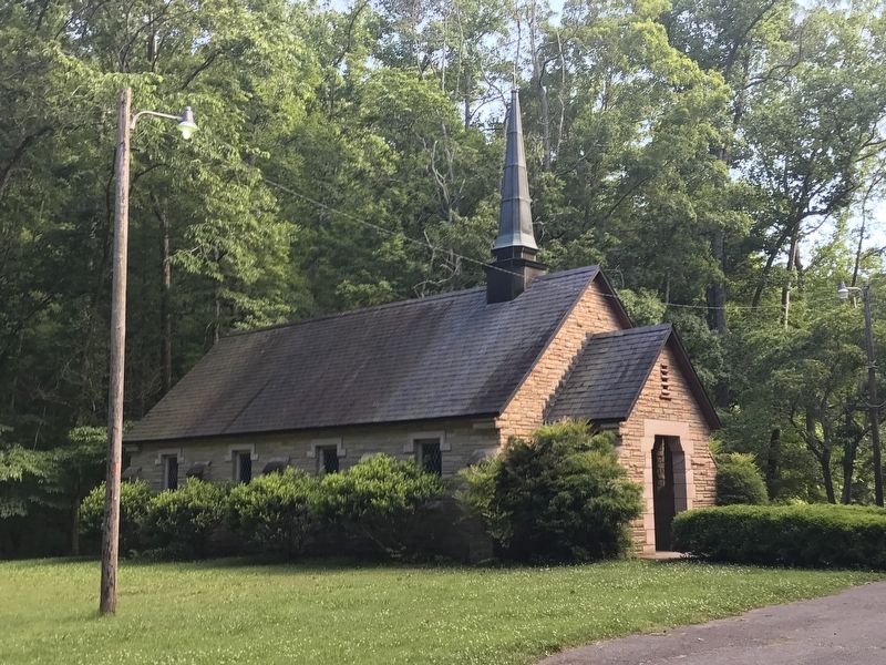
Location. 36° 5.461′ N, 87° 17.52′ W. Marker is near Burns, Tennessee, in Dickson County. Marker can be reached from Camp I Road. The marker is located on a trail about 400 feet west of Cumberland Presbyterian Church in Montgomery Bell State Park. Touch for map. Marker is in this post office area: Burns TN 37029, United States of America. Touch for directions.
Other nearby markers. At least 8 other markers are within 4 miles of this marker, measured as the crow flies. Cumberland Presbyterian Church Monument (within shouting distance of this marker); The Civilian Conservation Corps (approx. 0.8 miles away); The CCC at Montgomery Bell (approx. 0.8 miles away); Birth of a Church (approx. 0.9 miles away); The Civilian Conservation Corps and Montgomery Bell State Park (approx. one mile away); McNairy’s Attack (approx. 1.8 miles away); "Lonesome" Cabin (approx. 3.2 miles away); The Civil War in White Bluffs (approx. 3.9 miles away). Touch for a list and map of all markers in Burns.
Credits. This page was last revised on June 16, 2020. It was originally submitted on June 16, 2020, by Duane and Tracy Marsteller of Murfreesboro, Tennessee. This page has been viewed 333 times since then and 40 times this year. Photos: 1, 2, 3, 4. submitted on June 16, 2020, by Duane and Tracy Marsteller of Murfreesboro, Tennessee. • Devry Becker Jones was the editor who published this page.


