Tazewell in Claiborne County, Tennessee — The American South (East South Central)
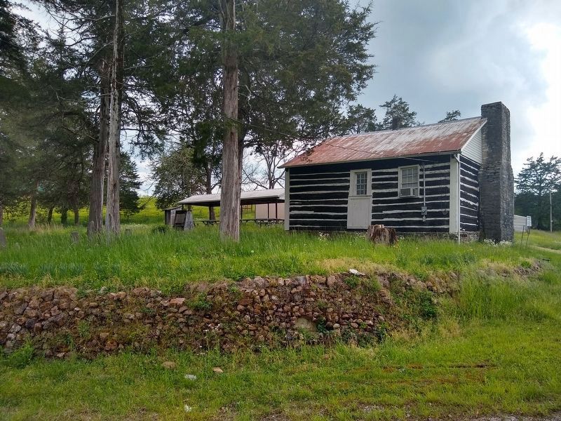
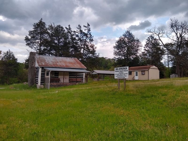
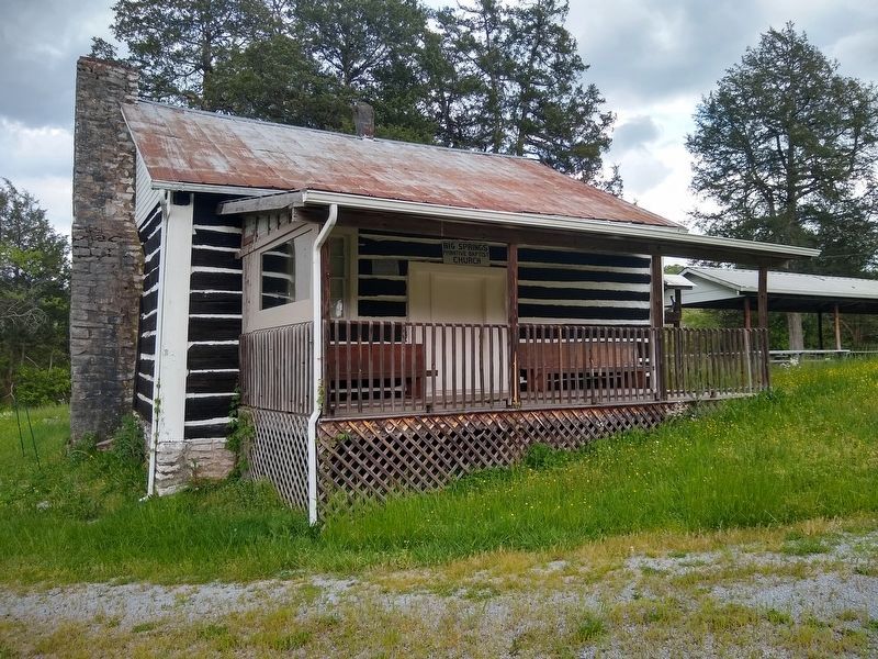
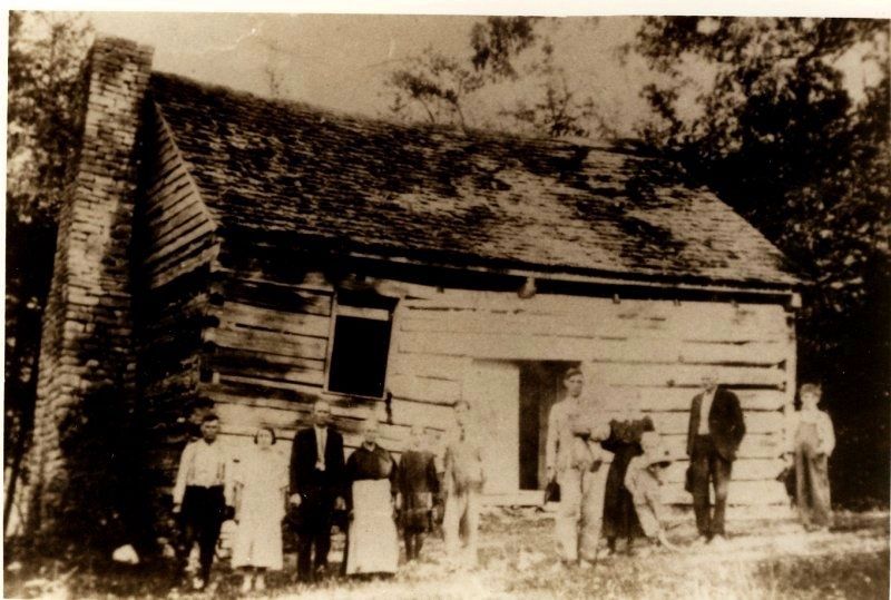
Big Spring Church
(front)
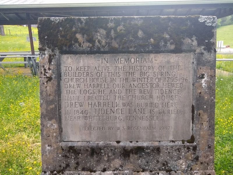
In Memoriam
To keep alive the history of the builders of this, The Big Spring Church House, in the winter of 1795-96. Drew Harrell our ancestor hewed the logs. He and the Rev. Tidence Lane erected the church house. Drew Harrell was buried here in 1840. Tidence Lane is buried near Whitesburg, Tennessee.
(Erected by W.S. Rosenbalm, 1947)
(rear)
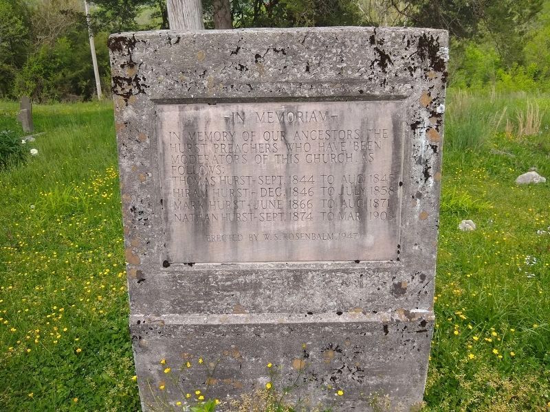
In Memoriam
In memory of our ancestors the Hurst preachers who have been moderators of this church, as follows:
Thomas Hurst - Sept. 1844 to Aug. 1845
Hiram Hurst – Dec. 1846 to July 1858
Mark Hurst – June 1866 to Aug. 1871
Nathan Hurst – Sept. 1874 to Mar. 1903
(Erected by W.S. Rosenbalm, 1947)
Erected 1947 by W.S. Rosenbalm.
Topics. This historical marker is listed in this topic list: Churches & Religion. A significant historical month for this entry is June 1866.
Location. 36° 25.335′ N, 83° 31.468′ W. Marker is in Tazewell, Tennessee, in Claiborne County. Marker is at the intersection of Riddle Lane and Lone Mountain Road, on the left when traveling north on Riddle Lane. Touch for map. Marker is in this post office area: Tazewell TN 37879, United States of America. Touch for directions.
Other nearby markers. At least 8 other markers are within 9 miles of this marker, measured as the crow flies. The Old Jail (approx. 3.2 miles away); Graham – Kivett House (approx. 3.3 miles away); Confederate Memorial (approx. 3.4 miles away); Barren Creek Dam Failures (approx. 7.4 miles away); East Tennessee Vietnam Conflict Memorial (approx. 8.8 miles away); Bean Station (approx. 8.8 miles away); Tennessee Veterans Memorial (approx. 8.8 miles away); Veterans Overlook (approx. 8.8 miles away). Touch for a list and map of all markers in Tazewell.
Additional commentary.
1.
Note To Editor only visible by Contributor and editor
— Submitted June 21, 2020, by Tom Bosse of Jefferson City, Tennessee.
Credits. This page was last revised on July 6, 2020. It was originally submitted on June 18, 2020, by Tom Bosse of Jefferson City, Tennessee. This page has been viewed 291 times since then and 31 times this year. Photos: 1, 2, 3, 4, 5, 6. submitted on June 18, 2020, by Tom Bosse of Jefferson City, Tennessee. • J. Makali Bruton was the editor who published this page.
