Talbot's Corner in Nashville in Davidson County, Tennessee — The American South (East South Central)
"Historic Talbot's Corner" / Thomas Talbot 1760-1831
Inscription.
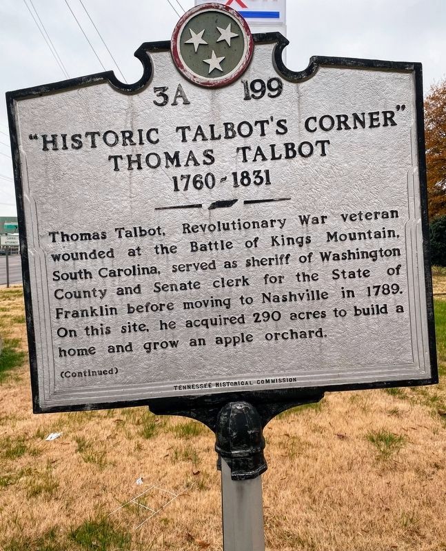
Thomas Talbot, Revolutionary War veteran wounded at the Battle of Kings Mountain, South Carolina, served as sheriff of Washington County and Senate clerk for the State of Franklin before moving to Nashville in 1789. On this site, he acquired 290 acres to build a home and grow an apple orchard.
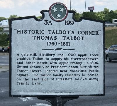
A gristmill, distillery and 1,000 apple trees enabled Talbot to supply his riverfront tavern and other hotels with apple brandy. In 1806, United States Vice President Aaron Burr visited Talbot Tavern, located near Nashville's Public Square. The Talbot family cemetery is located on the east side of Interstate 65/24 along Trinity Lane.
Erected by Tennessee Historical Commission. (Marker Number 3A 199.)
Topics and series. This historical marker is listed in these topic lists: Industry & Commerce • Settlements & Settlers • War, US Revolutionary. In addition, it is included in the Tennessee Historical Commission series list. A significant historical year for this entry is 1760.
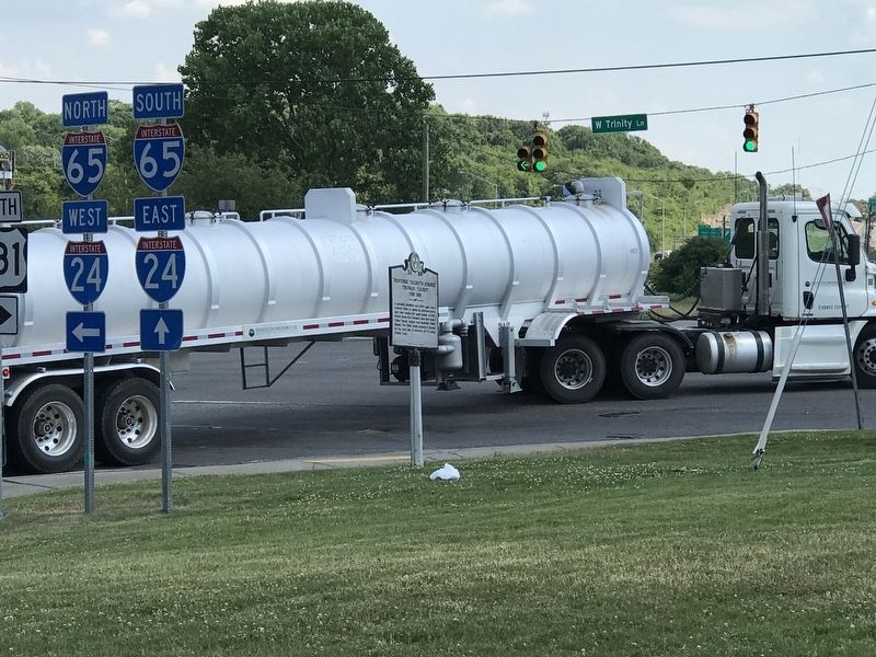
Location. 36° 12.407′ N, 86° 46.688′ W. Marker is in Nashville, Tennessee, in Davidson County. It is in Talbot's Corner. Marker is at the intersection of Brick Church Pike and West Trinity Lane (U.S. 431), on the right when traveling south on Brick Church Pike. Touch for map. Marker is in this post office area: Nashville TN 37207, United States of America. Touch for directions.
Other nearby markers. At least 8 other markers are within 2 miles of this marker, measured as the crow flies. Haynes High School (approx. 0.6 miles away); Heaton's Station (approx. 0.7 miles away); Griggs Hall (approx. 0.7 miles away); a different marker also named Heaton's Station (approx. 0.7 miles away); Riverside Sanitarium and Hospital / Dorothy Lavinia Brown, M.D. (approx. one mile away); Joy Floral Company (approx. one mile away); The Nashville Race Course (approx. 1.2 miles away); Glenn School / School Desegregation in Nashville “Nashville Plan” Schools (approx. 1½ miles away). Touch for a list and map of all markers in Nashville.
Credits. This page was last revised on February 7, 2023. It was originally submitted on June 23, 2020, by Duane and Tracy Marsteller of Murfreesboro, Tennessee. This page has been viewed 1,538 times since then and 235 times this year. Photos: 1. submitted on December 26, 2021, by Shane Oliver of Richmond, Virginia. 2, 3. submitted on June 23, 2020, by Duane and Tracy Marsteller of Murfreesboro, Tennessee. • J. Makali Bruton was the editor who published this page.


