Hendersonville in Sumner County, Tennessee — The American South (East South Central)
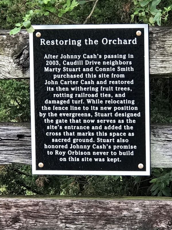
Restoring the Orchard
After Johnny Cash's passing in 2003, Caudill Drive neighbors Marty Stuart and Connie Smith purchased this site from John Carter Cash and restored its then withering fruit trees, rotting railroad ties, and damaged turf. While relocating the fence line to its new position by the evergreens, Stuart designed the gate that now serves as the site's entrance and added the cross that marks this space as sacred ground. Stuart also honored Johnny Cash's promise to Roy Orbison never to build on this site was kept.
Topics. This historical marker is listed in these topic lists: Arts, Letters, Music • Horticulture & Forestry. A significant historical year for this entry is 2003.
Location. 36° 19.109′ N, 86° 33.393′ W. Marker is in Hendersonville, Tennessee, in Sumner County. Marker is on Caudill Drive, on the right when traveling north. Touch for map. Marker is at or near this postal address: 185 Caudill Drive, Hendersonville TN 37075, United States of America. Touch for directions.
Other nearby markers. At least 8 other markers are within 3 miles of this marker, measured as the crow flies. The Orchard (here, next to this marker); The Cash Home (about 500 feet away, measured in a direct line); Saundersville United Methodist Church (approx. 0.7 miles away); Home of Johnny Cash (approx. 0.7 miles away); Spring Haven (approx. one mile away); Rehoboth Church (approx. 2 miles away); Morgan's Raiders at Cage's Ford (approx. 2.3 miles away); Strategic Location (approx. 2.4 miles away). Touch for a list and map of all markers in Hendersonville.
Related markers. Click here for a list of markers that are related to this marker.
Credits. This page was last revised on June 24, 2020. It was originally submitted on June 24, 2020, by Duane and Tracy Marsteller of Murfreesboro, Tennessee. This page has been viewed 549 times since then and 169 times this year. Photos: 1, 2. submitted on June 24, 2020, by Duane and Tracy Marsteller of Murfreesboro, Tennessee. • J. Makali Bruton was the editor who published this page.

