Wartrace in Bedford County, Tennessee — The American South (East South Central)
Andrew Jackson
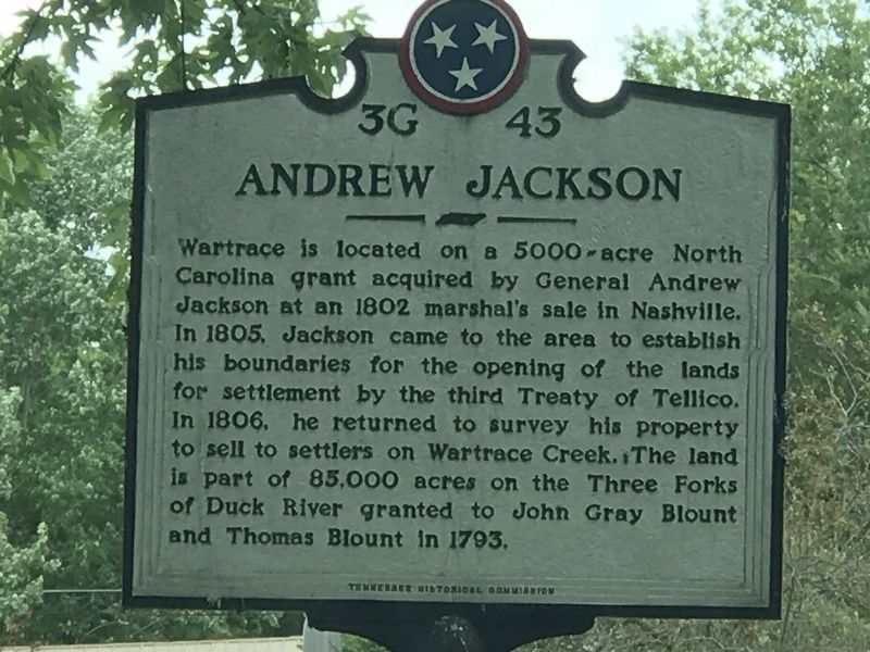
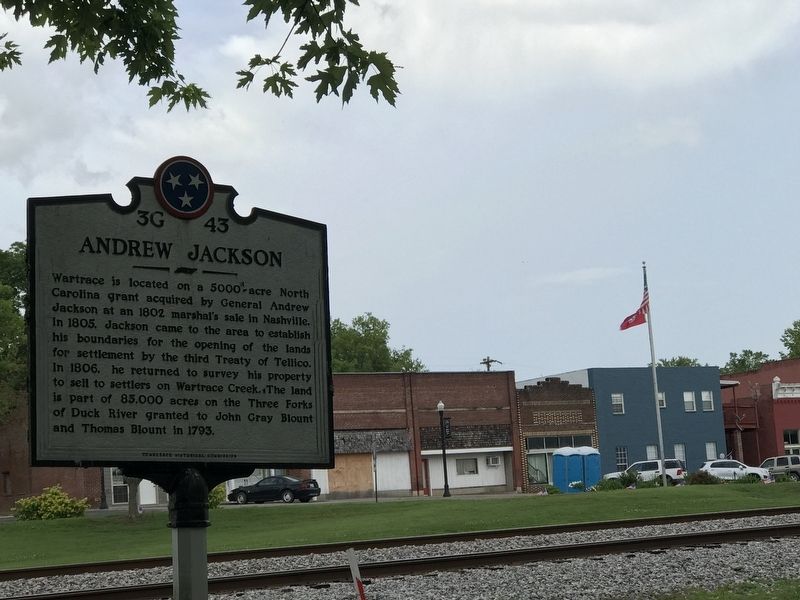
Wartrace is located on a 5000-acre North Carolina grant acquired by General Andrew Jackson at an 1802 marshal's sale in Nashville. In 1805, Jackson came to the area to establish his boundaries for the opening of the lands for settlement by the third Treaty of Tellico. In 1806, he returned to survey his property to sell to settlers on Wartrace Creek. The land is part of 85,000 acres on the Three Forks of Duck River granted to John Gray Blount and Thomas Blount in 1793.
Erected by Tennessee Historical Commission. (Marker Number 3G 43.)
Topics and series. This historical marker is listed in this topic list: Settlements & Settlers. In addition, it is included in the Former U.S. Presidents: #07 Andrew Jackson, and the Tennessee Historical Commission series lists. A significant historical year for this entry is 1793.
Location. 35° 31.698′ N, 86° 20.068′ W. Marker is in Wartrace, Tennessee, in Bedford County. Marker is on Spring Street east of Bridgeview Street, on the right when traveling north. The marker is located in Wartrace Memorial Park. Touch for map. Marker is in this post office area: Wartrace TN 37183, United States of America. Touch for directions.
Other nearby markers. At least 8 other markers are within 2 miles of this marker, measured as the crow flies. "Dedicated to Those Brave & Gallant Soldiers in Butternut & Gray"! (a few steps from this marker); Skirmish at Liberty Gap (a few steps from this marker); Tullahoma Campaign (a few steps from this marker); Strolling Jim (about 400 feet away, measured in a direct line); Skirmish at Wartrace (approx. 0.2 miles away); Wartrace (approx. 0.2 miles away); Valley Home (approx. 1.2 miles away); Beechwood Plantation (approx. 1˝ miles away). Touch for a list and map of all markers in Wartrace.
Credits. This page was last revised on June 29, 2020. It was originally submitted on June 29, 2020, by Duane and Tracy Marsteller of Murfreesboro, Tennessee. This page has been viewed 370 times since then and 47 times this year. Photos: 1, 2. submitted on June 29, 2020, by Duane and Tracy Marsteller of Murfreesboro, Tennessee. • J. Makali Bruton was the editor who published this page.

