Dover in Strafford County, New Hampshire — The American Northeast (New England)
The Two Morrill Blocks
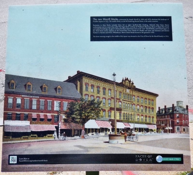
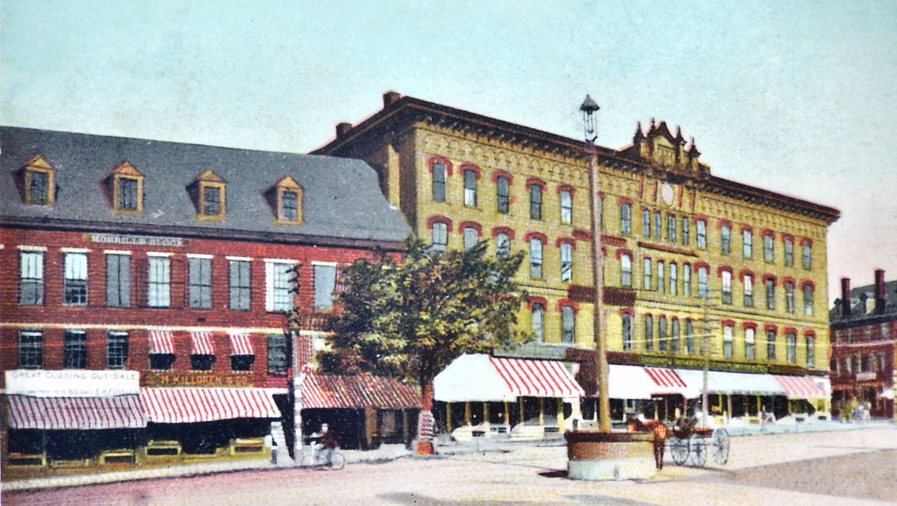
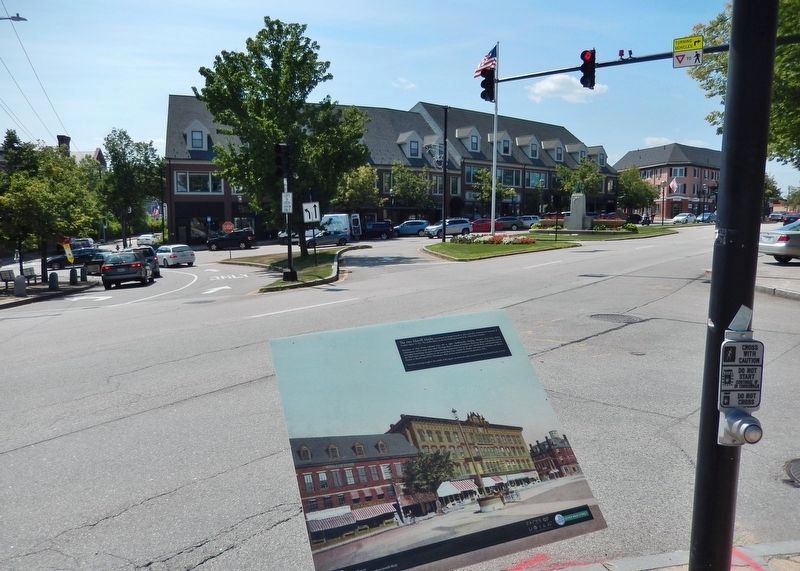
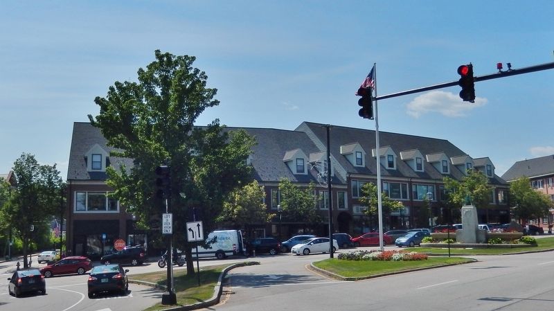
The two Morrill blocks, constructed by Joseph Morrill in 1844 and 1870, dominate the landscape of Franklin Square in 1921. The smaller block, on the left bordering Second Street, is the earlier structure.
Businesses in these blocks included (from left to right): Spofford-Allis Clothing, Melnick's Shoe Store, Daeris confectionary and ice cream shop called The Sugar Bowl, Lothrops & Pinkham's Pharmacy, Byron F. Hayes Dry Goods and Ladies Furnishings, the giant Lothrop-Farnham department store in the "new" Morrill block, and United Cigars on the Third Street corner. Upstairs on the second floor were: Charles H. Bradley real estate and insurance and dentists Herbert A. Bartlett and F.H.G. Whitehouse. Both of these blocks burned to the ground in 1932.
The horse watering trough in the middle of the square was donated to the City of Dover by the Morrill family in 1914.
Erected 2015 by Faces of Dover, and Dover Main Street, Inc. (Marker Number 12.)
Topics. This historical marker is listed in these topic lists: Architecture • Industry & Commerce.
Location. 43° 11.87′ N, 70° 52.403′ W. Marker is in Dover, New Hampshire, in Strafford County. Marker is at the intersection of Main Street (New Hampshire Route 9) and Chapel Street (New Hampshire Route 4), on the right when traveling north on Main Street. Marker is located on the sidewalk at the southeast corner of the intersection. Touch for map. Marker is in this post office area: Dover NH 03820, United States of America. Touch for directions.
Other nearby markers. At least 8 other markers are within walking distance of this marker. Dover’s Two Largest Retail Chain Stores (within shouting distance of this marker); The Dover Mill Girls (about 300 feet away, measured in a direct line); The New Depot on Third Street (about 300 feet away); The American House Hotel (about 300 feet away); Merchants National Bank (about 300 feet away); St. John's Methodist Church (about 400 feet away); Dover's Black Day (about 500 feet away); Dover's Early Settlers (about 600 feet away). Touch for a list and map of all markers in Dover.
Related markers. Click here for a list of markers that are related to this marker.
Also see . . . Morrill Block. Faces of Dover website entry (Submitted on July 4, 2020, by Cosmos Mariner of Cape Canaveral, Florida.)
Credits. This page was last revised on July 6, 2022. It was originally submitted on July 2, 2020, by Cosmos Mariner of Cape Canaveral, Florida. This page has been viewed 223 times since then and 41 times this year. Photos: 1, 2, 3, 4. submitted on July 4, 2020, by Cosmos Mariner of Cape Canaveral, Florida.


