Brigham City in Box Elder County, Utah — The American Mountains (Southwest)
Call's Fort
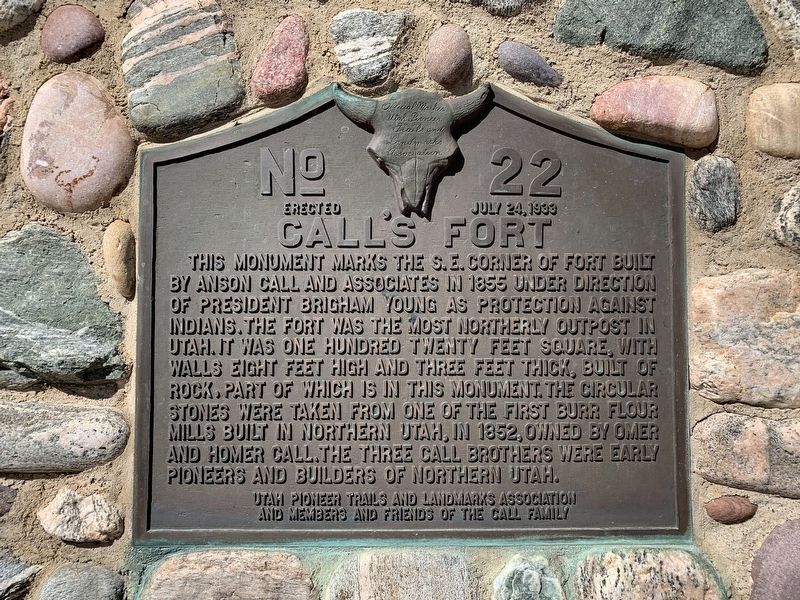
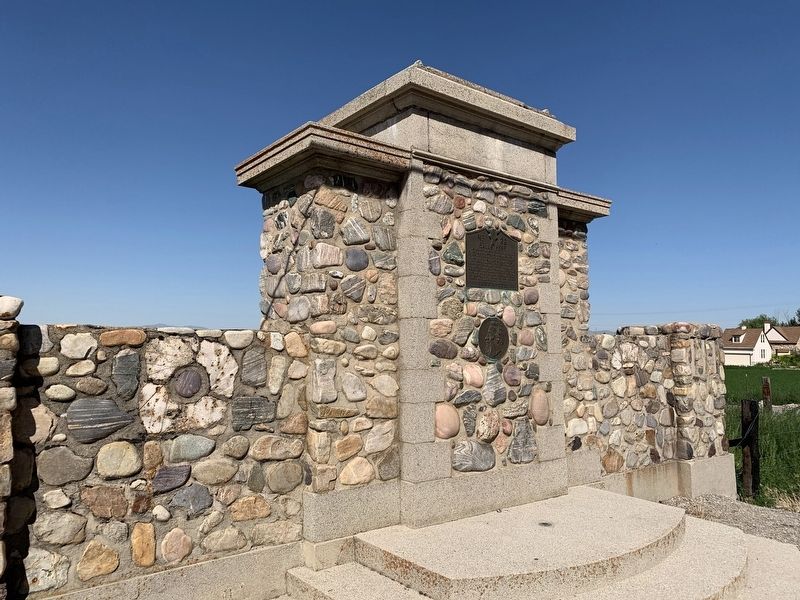
This monument marks the S.E. corner of fort built by Anson Call and associates in 1855 under direction of President Brigham Young as protection against Indians. The fort was the most northerly outpost in Utah. It was one hundred twenty feet square, with walls eight feet high and three feet thick, built of rock, part of which is in this monument. The circular stones were taken from one of the first burr flour mills built in northern Utah, in 1852, owned by Omer and Homer Call. The three Call brothers were early pioneers and builders of northern Utah.
Erected 1933 by Utah Pioneer Trails and Landmarks Association and Members and Friends of the Call Family. (Marker Number 22.)
Topics and series. This historical marker is listed in these topic lists: Churches & Religion • Settlements & Settlers. In addition, it is included in the Utah Pioneer Trails and Landmarks Association series list. A significant historical year for this entry is 1855.
Location. 41° 36.376′ N, 112° 3.526′ W. Marker is in Brigham City, Utah, in Box Elder County. Marker is on Highway 69, on the right when traveling south. Touch for map. Marker is at or near this postal address: 5320 North, Brigham City UT 84302, United States of America. Touch for directions.
Other nearby markers. At least 8 other markers are within 6 miles of this marker, measured as the crow flies. In Honor of James Bridger (approx. 4.1 miles away); Corinne - Pioneer Railroad Town (approx. 4.6 miles away); Presbyterian Centennial (approx. 4.7 miles away); The First Weather Station in Utah (approx. 4.8 miles away); Corinne Opera House (approx. 4.9 miles away); Water Bell (approx. 4.9 miles away); Corinne Methodist Episcopal Church (approx. 4.9 miles away); The Davis Fort-Built 1851 (approx. 5.9 miles away).
Credits. This page was last revised on July 10, 2020. It was originally submitted on July 4, 2020, by Tyler Thorsted of Orem, Utah. This page has been viewed 501 times since then and 76 times this year. Photos: 1, 2. submitted on July 4, 2020, by Tyler Thorsted of Orem, Utah. • J. Makali Bruton was the editor who published this page.

