Barry Farm in Southeast Washington in Washington, District of Columbia — The American Northeast (Mid-Atlantic)
Hillsdale
An East of the River View
| — | Anacostia Heritage Trail | — |
Photographed by Allen C. Browne, December 28, 2016
1. Hillsdale Marker
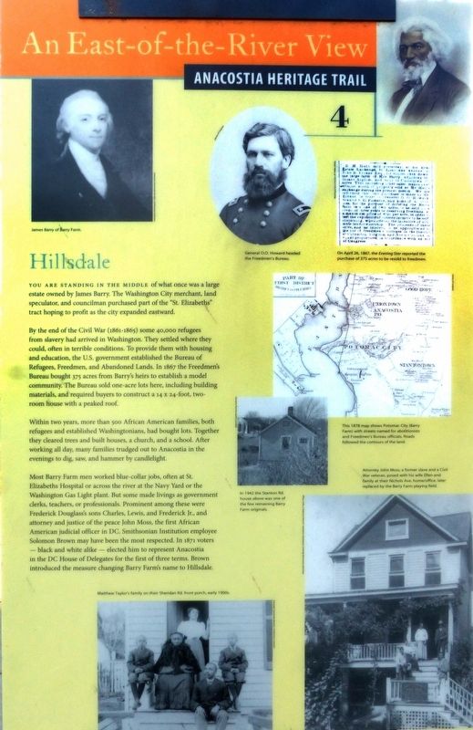
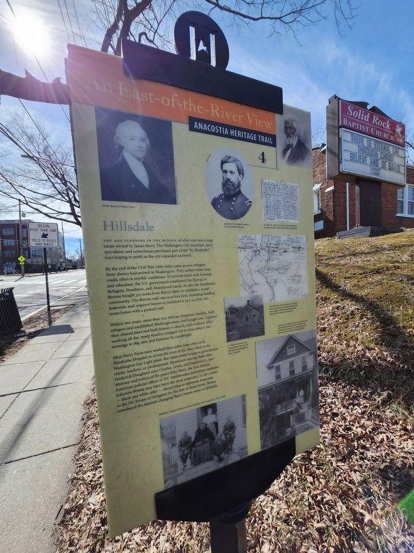
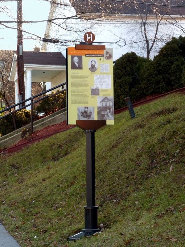
You are standing in the middle of what once was a large estate owned by James Barry. The Washington City merchant, land speculator, and councilman purchased part of the "St. Elizabeths" tract hoping to profit as the city expanded eastward.
By the end of the Civil War (1861-1865) some 40,000 refugees from slavery had arrived in Washington. They settled where they could, often in terrible conditions. To provide them with housing and education, the U.S. government established the Bureau of Refugees, Freedmen, and Abandoned Lands. In 1867 the Freedmen's Bureau bought 375 acres from Barry's heirs to establish a model community. The Bureau sold one-acre lots here, including building materials, and required buyers to construct a 14 X 24-foot two-room house with a peaked roof.
Within two years, more than 500 African American families, both refugees and established Washingtonians, had bought lots. Together they cleared trees and built houses, a church, and a school. After working all day, many families trudged out to Anacostia in the evenings to dig, saw, and hammer by candlelight.
Most Barry Farm men worked blue collar Jobs, often at St Elizabeths Hospital or across the river at the Navy Yard or the Washington Gas Light plant. But some made livings as government clerks, teachers or professionals. Prominent among these were Frederick Douglass's sons Charles, Lewis, ,and Frederick Jr., and attorney and justice of the peace John Moss, the first African American judicial officer in DC. Smithsonian Institution employee Solomon Brown may have been the most respected. In 1811 voters black and white alike elected him to represent Anacostia in the DC House of Delegates for the first of three terms. Brown introduced the measure changing Barry Farm's name to Hillsdale.
Erected 2013 by Cultural Tourism DC.
this page online
Topics and series. This historical marker is listed in these topic lists: African Americans • Government & Politics • Notable Places • Settlements & Settlers. In addition, it is included in the Anacostia Heritage Trail series list. A significant historical year for this entry is 1811.
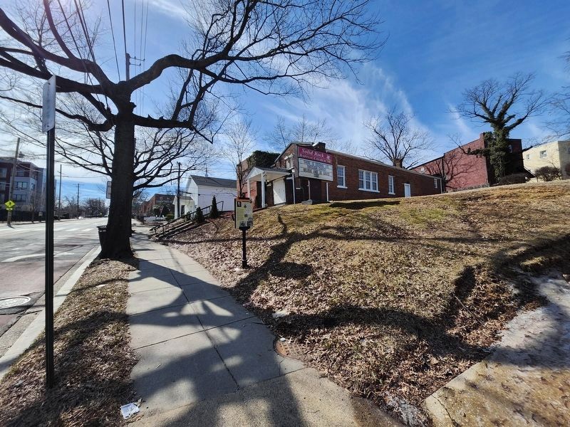
Location. 38° 51.509′ N, 76° 59.739′ W. Marker is in Southeast Washington in Washington, District of Columbia. It is in Barry Farm. It is on Martin Luther King Jr. Avenue Southeast north of Eaton Road Southeast, on the right when traveling south. Touch for map. Marker is at or near this postal address: 2627 Martin Luther King Jr Avenue Southeast, Washington DC 20020, United States of America. Touch for directions.

Regionally, this marker is in the Washington Metropolitan Area. It is also in the American Northeast, in the Upper South, in the Mid-Atlantic, in the Tidewater, and in the Chesapeake Bay Region. Globally, it is in North America, the Western Hemisphere, the Western World, and the Anglosphere.
Other nearby markers. At least 8 other markers are within walking distance of this marker: Grandpapa's Farm
Photographed by J. Makali Bruton, February 22, 2025
2. Hillsdale Marker
Photographed by J. Makali Bruton, February 22, 2025
3. Hillsdale Marker Reverse
Photographed by J. Makali Bruton, February 22, 2025
4. Hillsdale Marker
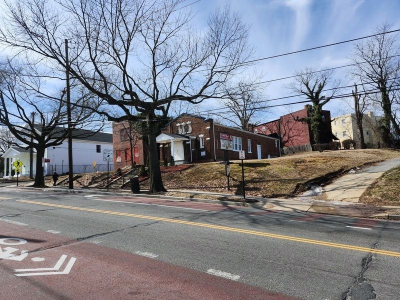
Photographed by J. Makali Bruton, February 22, 2025
5. Hillsdale Marker
Photographed by Allen C. Browne, December 28, 2016
6. Hillsdale Marker
Credits. This page was last revised on February 23, 2025. It was originally submitted on March 4, 2017, by Allen C. Browne of Silver Spring, Maryland. This page has been viewed 711 times since then and 24 times this year. Last updated on July 5, 2020, by Bruce Guthrie of Silver Spring, Maryland. Photos: 1. submitted on March 4, 2017, by Allen C. Browne of Silver Spring, Maryland. 2, 3, 4, 5. submitted on February 23, 2025, by J. Makali Bruton of Washington, District of Columbia. 6. submitted on March 4, 2017, by Allen C. Browne of Silver Spring, Maryland. • Devry Becker Jones was the editor who published this page.
