Brentsville in Prince William County, Virginia — The American South (Mid-Atlantic)
The Town
Brentsville
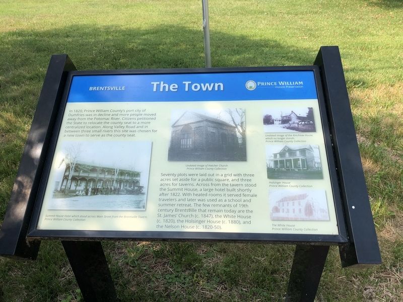
In 1820, Prince William County's port city of Dumfries was in decline and more people moved away from the Potomac River. Citizens petitioned the State to relocate the county seat to a more centralized location. Along Valley road and in between three small rivers this site was chosen for a new town to serve as the county seat.
Seventy plots were laid out in a grid with three acres set aside for a public square, and three acres for taverns. Across from the tavern stood the Summit House, a large hotel built shortly after 1822. With heated rooms it served female travelers and was used as a school and summer retreat. The few remnants of 19th century Brentsville that remain today are the St. James' Church (c. 1847), the White House (c. 1820), the Holsinger House (c. 1880), and the Nelson House (c. 1820-50).
Erected by Prince William Historic Preservation.
Topics. This historical marker is listed in this topic list: Settlements & Settlers. A significant historical year for this entry is 1820.
Location. 38° 41.383′ N, 77° 30.022′ W. Marker is in Brentsville, Virginia, in Prince William County. Marker is on Bristow Road (Virginia Route 619) just west of Barbee Road, on the right when traveling west. Touch for map. Marker is at or near this postal address: 12239 Bristow Rd, Bristow VA 20136, United States of America. Touch for directions.
Other nearby markers. At least 8 other markers are within walking distance of this marker. One-Room School (here, next to this marker); Clerk's Office (here, next to this marker); Tavern Square (a few steps from this marker); Brentsville (within shouting distance of this marker); Tavern Cellar (within shouting distance of this marker); Outbuildings (within shouting distance of this marker); a different marker also named Brentsville (within shouting distance of this marker); 1822 Tavern Site (within shouting distance of this marker). Touch for a list and map of all markers in Brentsville.

Photographed By Devry Becker Jones (CC0), July 5, 2020
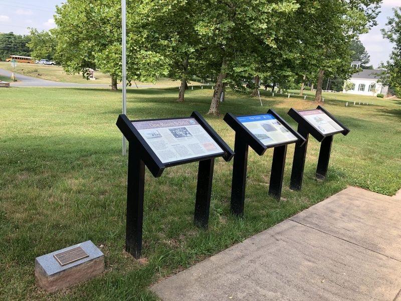
2. One-Room School, The Town and Clerk's Office markers
Credits. This page was last revised on July 5, 2020. It was originally submitted on July 5, 2020, by Devry Becker Jones of Washington, District of Columbia. This page has been viewed 191 times since then and 13 times this year. Photos: 1, 2. submitted on July 5, 2020, by Devry Becker Jones of Washington, District of Columbia.
