Puerta de Tierra in San Juan in Municipio de San Juan, Puerto Rico — The Caribbean (The West Indies)
Guillermo Esteves Bridge
Puente Guillermo Esteves
Autoridad de Carreteras y Transportación
Puente Guillermo Esteves
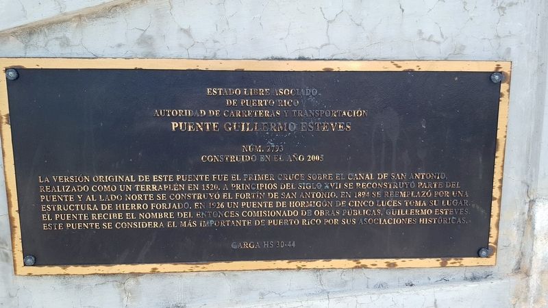
La versión original de este puente fue el primer cruce sobre el Canal de San Antonio, realizado como un terraplén en 1520. A principios del siglo XVII se reconstuyó parte del puente y al lado norte se construyó el Fortín de San Antonio. En 1894 se reemplazó por una estructura de hierro forjado. En 1926 un puente de hormigón de cinco luces toma su lugar. El puente recibe el nombre del entonces Comisionado de Obras Públicas, Guillermo Esteves. Este puente se considera el más importante de Puerto Rico por sus asociaciones históricas.
The Free Associated State of Puerto Rico
Transport and Highways Authority
Guillermo Esteves Bridge
The original version of this bridge was the first crossing over the San Antonio Canal, made as an embankment in 1520. At the beginning of the 17th century part of the bridge was reconstructed and Fort San Antonio was built on its north side. In 1894 it was replaced by a wrought-iron structure. In 1926 a concrete bridge made of five separate spans took its place. The bridge is named after the then Commissioner of Public Works, Guillermo Esteves. This bridge is considered the most important in Puerto Rico for its historical associations.
Erected 2005 by Carga Historical Society. (Marker Number 30-44.)
Topics. This historical marker is listed in this topic list: Bridges & Viaducts. A significant historical year for this entry is 1520.
Location. 18° 27.586′ N, 66° 5.177′ W. Marker is in San Juan in Municipio de San Juan, Puerto Rico. It is in Puerta de Tierra. Marker is at the intersection of Route 1 and Ashford Avenue, on the right when traveling north on Route 1. Touch for map. Marker is in this post office area: San Juan PR 00907, United States of America. Touch for directions.
Other nearby markers. At least 8 other markers are within walking distance of this marker. Fort San Antonio (within shouting distance of this marker); Ataques a la Isleta (about 300 feet away, measured in a direct line); First Line of Defense (about 400 feet away); Capilla Nuestra Señora de Lourdes (approx. 0.4 kilometers away); Polvorín de San Jerónimo (approx. 0.7 kilometers away); Memorial de Pulse (Pulse Memorial) (approx. 0.7 kilometers away); Palma real (approx. one kilometer away); Segunda línea de defensa (approx. 1.1 kilometers away). Touch for a list and map of all markers in San Juan.
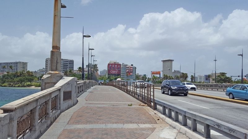
More about this marker. The marker is located at the northeast corner of the Guillermo Esteves Bridge.

Photographed By Hector Mendez-Caratini, circa 1955
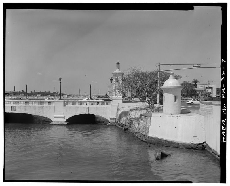
3. East side of north end, showing remains of Fort San Antonio - Puente Guillermo Esteves
This photo from the Library of Congress shows the northeast section of the bridge and some surviving remnants of Fort San Antonio. The marker would be on the interior of the bridge near the concrete column in the photo center. Many of the decorative elements of the bridge have since changed.
Credits. This page was last revised on February 16, 2023. It was originally submitted on July 6, 2020, by Douglass Halvorsen of Klamath Falls, Oregon. This page has been viewed 185 times since then and 30 times this year. Photos: 1, 2. submitted on July 6, 2020, by Douglass Halvorsen of Klamath Falls, Oregon. 3. submitted on July 7, 2020. • J. Makali Bruton was the editor who published this page.

