Grosse Ile in Wayne County, Michigan — The American Midwest (Great Lakes)
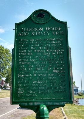
Mansion House and Survey Tree
Erected by Michigan Historical Commission. (Marker Number L35.)
Topics and series. This historical marker is listed in this topic list: Settlements & Settlers. In addition, it is included in the Michigan Historical Commission series list. A significant historical date for this entry is September 12, 1807.
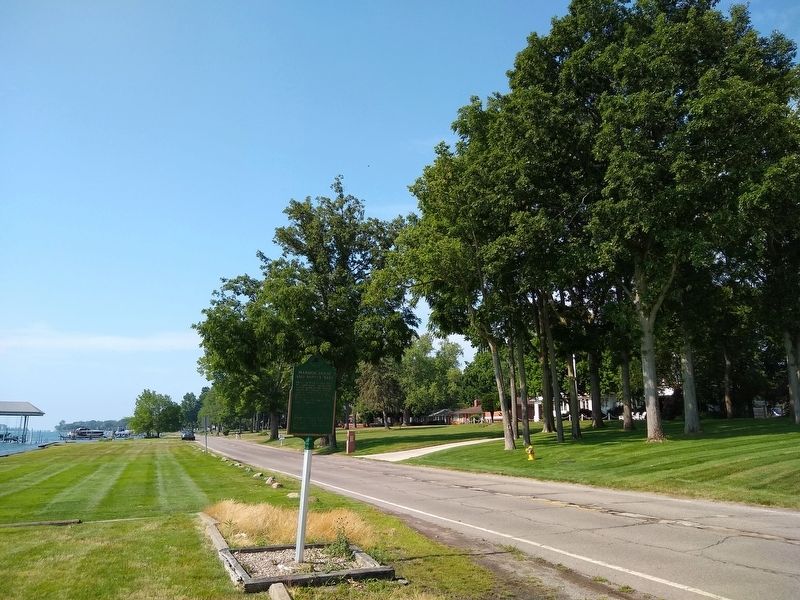
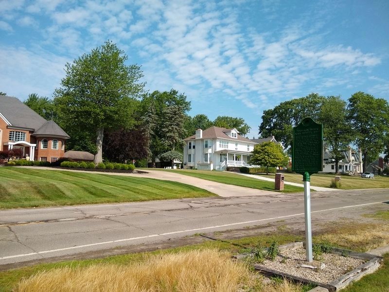
Location. 42° 9.356′ N, 83° 8.263′ W. Marker is in Grosse Ile, Michigan, in Wayne County. Marker is on East River Road, 0.4 miles north of Church Road, on the right when traveling north. Touch for map. Marker is at or near this postal address: 20722 East River Road, Grosse Ile MI 48138, United States of America. Touch for directions.
Other nearby markers. At least 8 other markers are within 3 kilometers of this marker, measured as the crow flies. St. Anne Church/St. Anne Chapel (approx. 0.4 miles away); Eighteenth-Century Grist Mill Site (approx. half a mile away); Angus Keith House (approx. 1.3 miles away); The Wyandot (approx. 1˝ miles away in Canada); The Rucker-Stanton House (approx. 2.4 kilometers away); Grosse Ile Treaty Tree (approx. 2.7 kilometers away); Rails Through Grosse Ile (approx. 3.3 kilometers away); The Livingstone Channel (approx. 3.3 kilometers away). Touch for a list and map of all markers in Grosse Ile.
Credits. This page was last revised on July 10, 2020. It was originally submitted on July 10, 2020, by Joel Seewald of Madison Heights, Michigan. This page has been viewed 361 times since then and 37 times this year. Photos: 1, 2, 3. submitted on July 10, 2020, by Joel Seewald of Madison Heights, Michigan.


