Grosse Ile in Wayne County, Michigan — The American Midwest (Great Lakes)
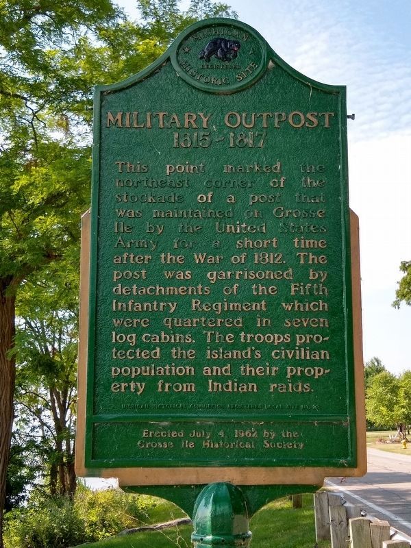
Military Outpost
1815-1817
Erected 1962 by Michigan Historical Commission. (Marker Number L23.)
Topics and series. This historical marker is listed in this topic list: Forts and Castles. In addition, it is included in the Michigan Historical Commission series list. A significant historical year for this entry is 1812.
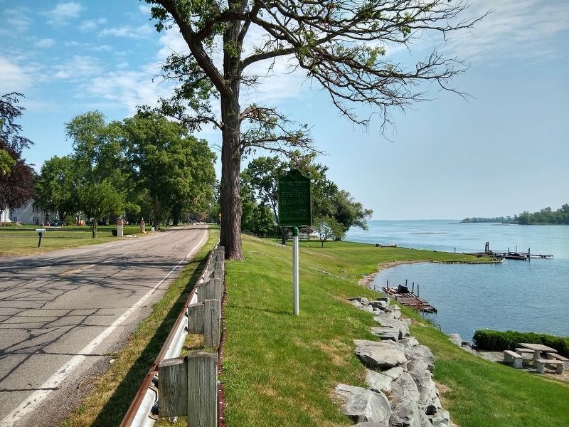
Location. 42° 7.244′ N, 83° 8.517′ W. Marker is in Grosse Ile, Michigan, in Wayne County. Marker is on East River Road, 0.1 miles south of Bellevue Road, on the left when traveling south. Touch for map. Marker is in this post office area: Grosse Ile MI 48138, United States of America. Touch for directions.
Other nearby markers. At least 8 other markers are within walking distance of this marker. St. James Episcopal Chapel (approx. ¼ mile away); Michigan Central Railroad (approx. 0.4 miles away); The End of the Line (approx. 0.4 miles away); Across the Water (approx. 0.4 miles away); Recording Movements (approx. 0.4 miles away); The Livingstone Channel (approx. 0.4 miles away); Rails Through Grosse Ile (approx. 0.4 miles away); Grosse Ile Treaty Tree (approx. 0.8 miles away). Touch for a list and map of all markers in Grosse Ile.
Credits. This page was last revised on July 14, 2020. It was originally submitted on July 12, 2020, by Joel Seewald of Madison Heights, Michigan. This page has been viewed 224 times since then and 35 times this year. Photos: 1, 2. submitted on July 12, 2020, by Joel Seewald of Madison Heights, Michigan.

