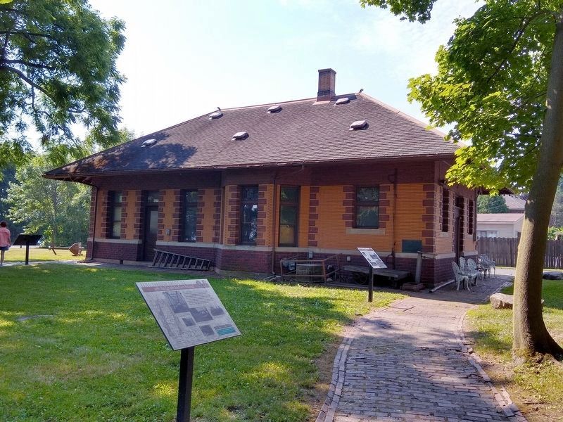
Grosse Ile in Wayne County, Michigan — The American Midwest (Great Lakes)
Rails Through Grosse Ile
with the Canada Southern Railroad
Inscription.
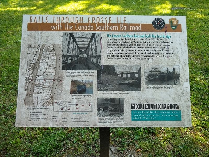
The Canada Southern Railroad built the first bridge
connecting Grosse Ile with the mainland about 1873. To link the agricultural products of the West (via Chicago) with the markets of the East Coast (via Buffalo), the railroad's most direct route was across Grosse Ile. Grosse Ile had been a farming community of about 400 people whose primary access to the mainland was by boat. The railroad's base of operations on Grosse Ile included machine shops, a roundhouse, and hotels and boarding houses for its workers. In the next few years Grosse Ile grew with the flow of freight and people.
You Auto Know
Because this rail line often transported Midwest livestock to Eastern markets, it was sometimes called the "Meat Line."
Erected by MotorCities National Heritage Area, National Park Service.
Topics and series. This historical marker is listed in this topic list: Railroads & Streetcars. In addition, it is included in the MotorCities National Heritage Area series list. A significant historical year for this entry is 1873.
Location. 42° 7.562′ N, 83° 8.513′ W. Marker is in Grosse Ile, Michigan, in Wayne County. Marker can be reached from East River Road south of Grosse Ile Parkway, on the right when traveling south. Marker can be seen from the Grosse Ile Historical Society parking lot. Touch for map. Marker is at or near this postal address: 25000 East River Road, Grosse Ile MI 48138, United States of America. Touch for directions.
Other nearby markers. At least 8 other markers are within walking distance of this marker. The End of the Line (here, next to this marker); Michigan Central Railroad (a few steps from this marker); Recording Movements (within shouting distance of this marker); The Livingstone Channel (within shouting distance of this marker); Across the Water (within shouting distance of this marker); St. James Episcopal Chapel (about 600 feet away, measured in a direct line); Military Outpost (approx. 0.4 miles away); Grosse Ile Treaty Tree (approx. 0.4 miles away). Touch for a list and map of all markers in Grosse Ile.

Photo courtesy of Grosse Ile Historical Society.
3. Rails Through Grosse Ile with the Canada Southern Railroad Marker — top near left image
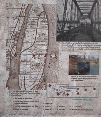
The steel-and-timber rail bridge from the mainland to Grosse Ile, in the background, about 1895. The bridge was completed about 1873 and continued in use until 1928. But because rail traffic was so light, the bridge became a convenient way for pedestrians and cyclists to reach the island.

Photo courtesy of Grosse Ile Historical Society.
6. Rails Through Grosse Ile with the Canada Southern Railroad Marker — lower near right image
Cattle pens used by Canada Southern in the 1870s and 1880s to hold livestock during stops of transport trains across the island. These pens stood on property that is now part of Grosse Ile Golf and Country Club.
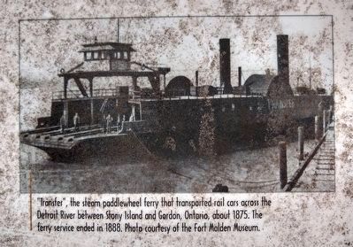
Photo courtesy of the Fort Malden Museum.
7. Rails Through Grosse Ile with the Canada Southern Railroad Marker — far right image
"Transfer," the steam paddlewheel ferry that transported rail cars across the Detroit River between Stony Island and Gordon, Ontario, about 1875. The ferry service ended in 1888.
Credits. This page was last revised on July 12, 2020. It was originally submitted on July 12, 2020, by Joel Seewald of Madison Heights, Michigan. This page has been viewed 561 times since then and 57 times this year. Photos: 1, 2, 3, 4, 5, 6, 7, 8. submitted on July 12, 2020, by Joel Seewald of Madison Heights, Michigan.
