Gardner in Worcester County, Massachusetts — The American Northeast (New England)
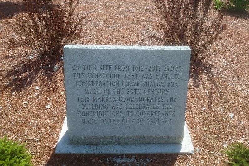
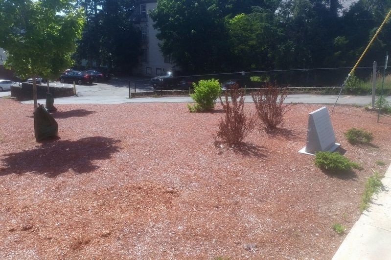
Site of former Ohave Synagogue
Topics. This historical marker is listed in this topic list: Churches & Religion. A significant historical year for this entry is 1912.
Location. 42° 34.376′ N, 71° 59.723′ W. Marker is in Gardner, Massachusetts, in Worcester County. Marker is at the intersection of Pleasant St and Knowlton St, on the right when traveling north on Pleasant St. Touch for map. Marker is at or near this postal address: 152 Pleasant St, Gardner MA 01440, United States of America. Touch for directions.
Other nearby markers. At least 8 other markers are within walking distance of this marker. Korean War Memorial (about 400 feet away, measured in a direct line); World War 1 Memorial (about 400 feet away); World War ll Memorial (about 500 feet away); Vietnam War Memorial (about 500 feet away); Spanish American War Memorial (approx. ¼ mile away); Gardner Soldiers' Monument (approx. 0.4 miles away); On June 27, 1785 (approx. half a mile away); Seth Heywood Site (approx. 0.7 miles away). Touch for a list and map of all markers in Gardner.
Credits. This page was last revised on July 18, 2020. It was originally submitted on July 13, 2020, by Richard Albright of Phillipston, Massachusetts. This page has been viewed 92 times since then and 18 times this year. Photos: 1, 2. submitted on July 13, 2020, by Richard Albright of Phillipston, Massachusetts. • Bill Pfingsten was the editor who published this page.

