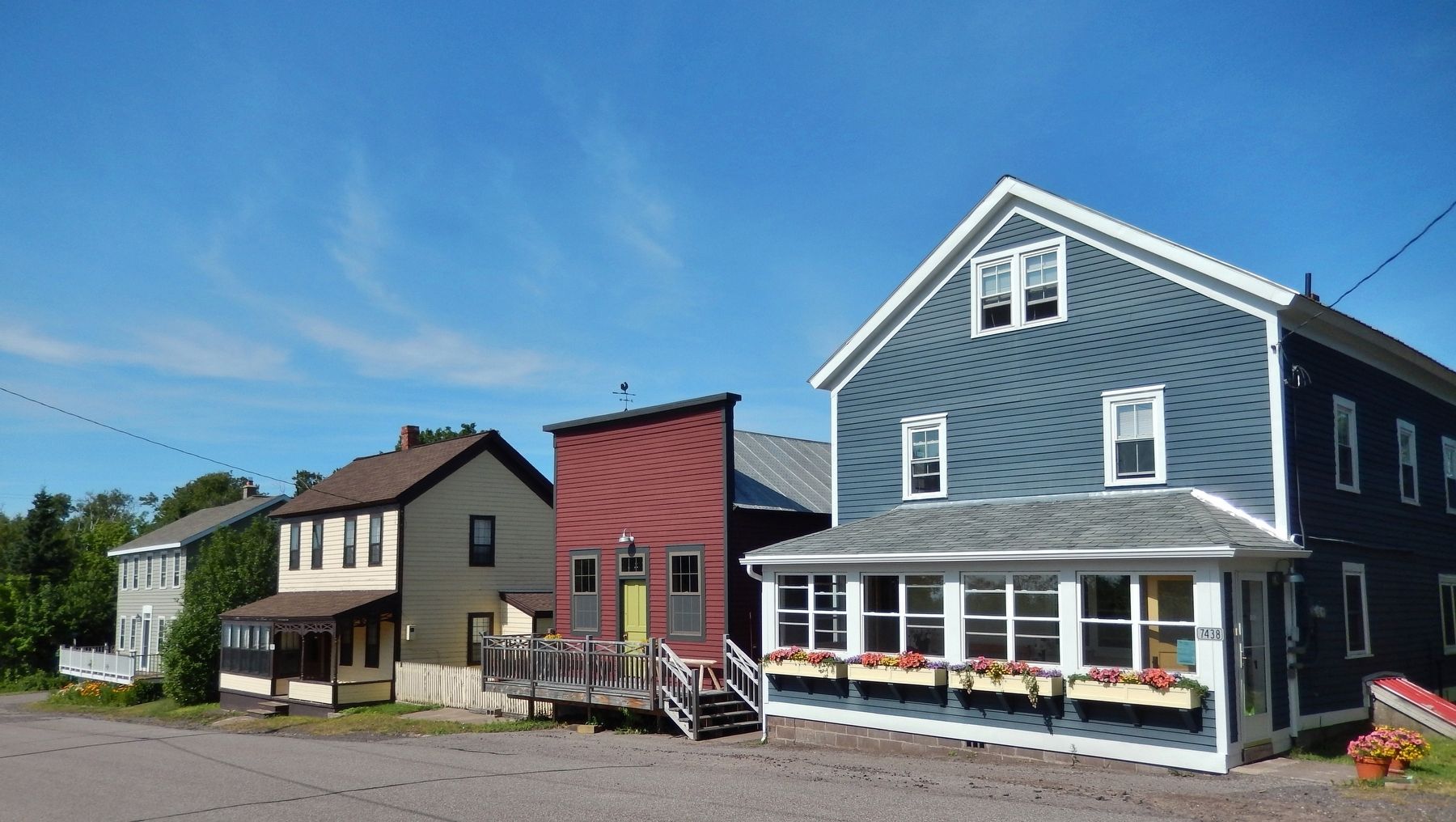
Eagle River in Keweenaw County, Michigan — The American Midwest (Great Lakes)
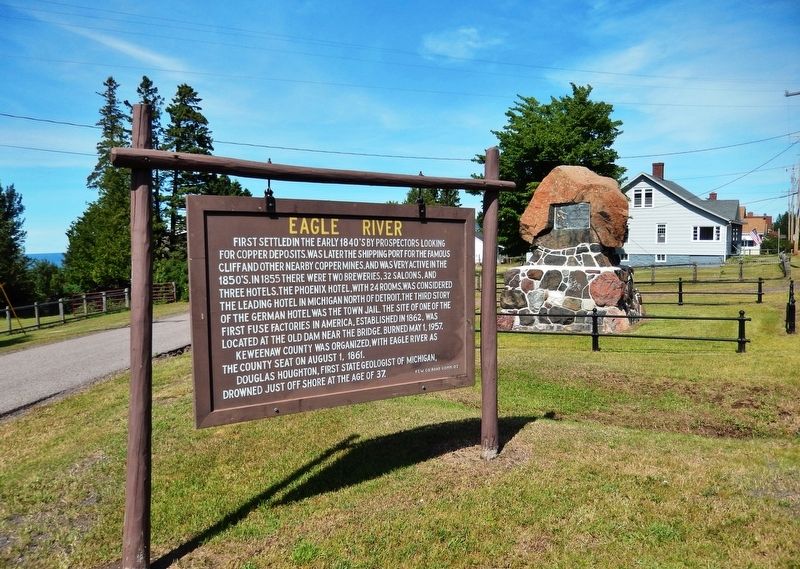
Eagle River
Keweenaw County was organized, with Eagle River as the County Seat on August 1, 1861.
Douglass Houghton, First State Geologist of Michigan, drowned just off shore at the age of 37.
Erected 2007 by Keweenaw County Road Commission.
Topics. This historical marker is listed in these topic lists: Industry & Commerce • Settlements & Settlers. A significant historical year for this entry is 1840.
Location. 47° 24.674′ N, 88° 17.968′ W. Marker is in Eagle River, Michigan, in Keweenaw County. Marker is at the intersection of State Highway 26 and West Main Street, on the right when traveling west on State Highway 26. Touch for map. Marker is in this post office area: Mohawk MI 49950, United States of America. Touch for directions.
Other nearby markers. At least 8 other markers are within 5 miles of this marker, measured as the crow flies. Douglass Houghton (a few steps from this marker); Joseph Blight, Sr. (approx. 0.2 miles away); Lake Shore Drive Bridge / Eagle River (approx. 0.2 miles away); a different marker also named Douglass Houghton (approx. 0.2 miles away); Main Street Bridge Project (approx. 0.2 miles away); Sand Hills Lighthouse (approx. 3.6 miles away); New Snowfall Record 390.4 Inches (approx. 3.6 miles away); Lake Superior (approx. 4½ miles away). Touch for a list and map of all markers in Eagle River.
Regarding Eagle River. National Register of Historic Places #84001746.
Also see . . .
1. Eagle River, Michigan (Wikipedia). Copper was discovered in 1845 at the Cliff Range nearby, the so-called "Cliff Lode". It was part of Houghton County until Keweenaw County was organized in 1861. The profitability of the area's copper mines had begun to decline sharply by around 1870. (Submitted on July 13, 2020, by Cosmos Mariner of Cape Canaveral, Florida.)
2. Eagle River Historic District (Wikipedia). The Eagle River Historic District includes most of the remaining structures that date from the early settlement of the community. These include early industrial plants as well as county buildings, commercial buildings, and private
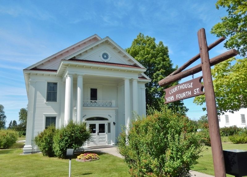
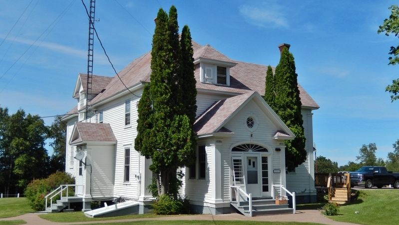
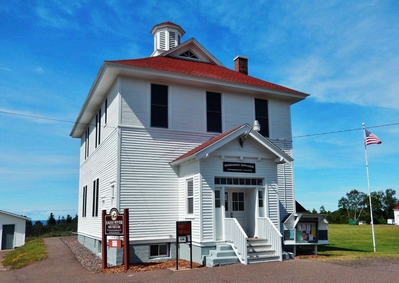
residences. The earliest buildings, dating from the 1840s and 1850s, are located along East Main Street. Other significant buildings include the town hall/school; the Keweenaw County Courthouse, Sheriff's residence, and jail; and the Eagle River Lighthouse. (Submitted on July 13, 2020, by Cosmos Mariner of Cape Canaveral, Florida.)
Credits. This page was last revised on July 14, 2020. It was originally submitted on July 13, 2020, by Cosmos Mariner of Cape Canaveral, Florida. This page has been viewed 171 times since then and 13 times this year. Photos: 1, 2, 3, 4, 5, 6. submitted on July 13, 2020, by Cosmos Mariner of Cape Canaveral, Florida.

