Mt. Storm in Grant County, West Virginia — The American South (Appalachia)
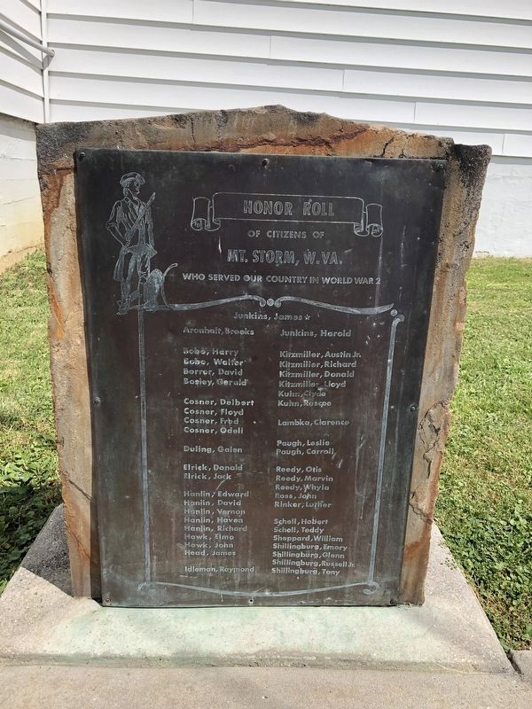
Honor Roll
of Citizens of
Mt. Storm, W.VA.
who served our country in World War 2
Junkins, James ★ Aronhalt, Brooks Bobo, Harry Bobo, Walter Borror, David Bosley, Gerald Cosner, Delbert Cosner, Floyd Cosner, Fred Cosner, Odell Duling, Galen Elrick, Donald Elrick, Jack Hanlin, Edward Hanlin, David Hanlin, Vernon Hanlin, Haven Hanlin, Richard Hawk, Elmo Hawk, John Head, James Idleman, Raymond Junkins, Harold Kitzmiller, Austin Jr. Kitzmiller, Richard Kitzmiller, Donald Kitzmiller, Lloyd Kuhn, Clyde Kuhn, Roscoe Lambka, Clarence Paugh, Leslie Paugh, Carroll Reedy, Otis Reedy, Marvin Reedy, Whyla Ross, John Rinker, Luther Schell, Hobert Schell, Teddy Sheppard, William Shillingburg, Emory Shillingburg, Glenn Shillingburg, Russell Jr. Shillingburg, Tony
Topics. This memorial is listed in this topic list: War, World II.
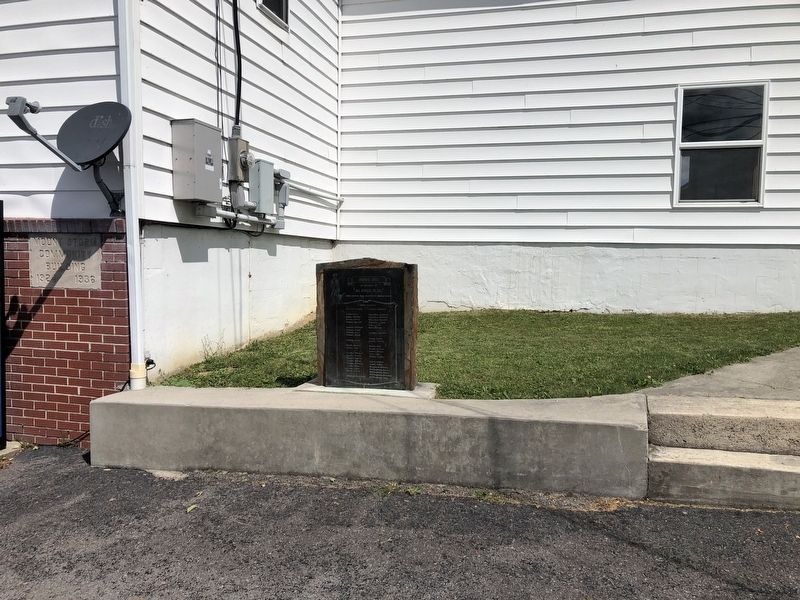
Location. 39° 16.627′ N, 79° 14.49′ W. Marker is in Mt. Storm, West Virginia, in Grant County. Memorial is at the intersection of George Washington Highway (U.S. 50) and Union Highway / Firehouse Road (West Virginia Route 42) on George Washington Highway. Touch for map. Marker is at or near this postal address: 16521 George Washington Hwy, Mount Storm WV 26739, United States of America. Touch for directions.
Other nearby markers. At least 8 other markers are within 7 miles of this marker, measured as the crow flies. In Honor (approx. 0.2 miles away); By Kings Command (approx. 2.8 miles away); Fort Ogden (approx. 2.8 miles away); Mineral County / Grant County (approx. 4 miles away); Grant County / State of Maryland (approx. 5.7 miles away); Site of Civil War Fort Pendleton (approx. 6.2 miles away in Maryland); Greenland Gap (approx. 6.9 miles away); Greenland Gap Engagement (approx. 6.9 miles away). Touch for a list and map of all markers in Mt. Storm.
Credits. This page was last revised on April 16, 2021. It was originally submitted on July 14, 2020, by Devry Becker Jones of Washington, District of Columbia. This page has been viewed 227 times since then and 27 times this year. Photos: 1, 2. submitted on July 14, 2020, by Devry Becker Jones of Washington, District of Columbia.

