Keyser in Mineral County, West Virginia — The American South (Appalachia)
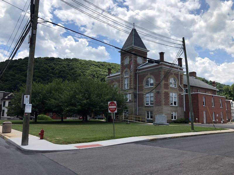
Courthouse Square
Keyser Historical Walking Trail
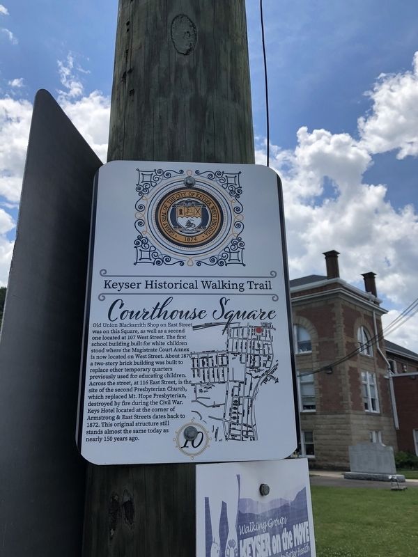
Erected by The City of Keyser, West Virginia. (Marker Number 10.)
Topics and series. This historical marker is listed in these topic lists: Education • Government & Politics • Industry & Commerce • Notable Buildings • Religion & Religious Structures. In addition, it is included in the West Virginia, The City of Keyser series list. A significant historical year for this entry is 1870.
Location. 39° 26.416′ N, 78° 58.393′ W.
this page online

Regionally, this marker is in the Eastern Panhandle. It is also in the American South, specifically in the Upper South, in Appalachia, and specifically in Northern Appalachia. Globally, it is in North America, the Western Hemisphere, the Western World, and the Anglosphere. Historically, it finds itself in what was once the territory of the Mississippian Culture.
Other nearby markers. At least 8 other markers are within walking distance of this marker: Lest We Forget (a few steps from this marker); Courthouse (within shouting distance of this marker); Blacksmith Shop (about 500 feet away, measured in a direct line); New Creek Station (about 500 feet away); Jonah E. Kelley Memorial Bridge (about 600 feet away); Janes Church (approx. 0.2 miles away); Historical Marker near Post Office (approx. 0.2 miles away); Keyser / Averell’s Raid
Credits. This page was last revised on July 14, 2020. It was originally submitted on July 14, 2020, by Devry Becker Jones of Washington, District of Columbia. This page has been viewed 200 times since then and 14 times this year. Photos: 1, 2. submitted on July 14, 2020, by Devry Becker Jones of Washington, District of Columbia.
