Keyser in Mineral County, West Virginia — The American South (Appalachia)
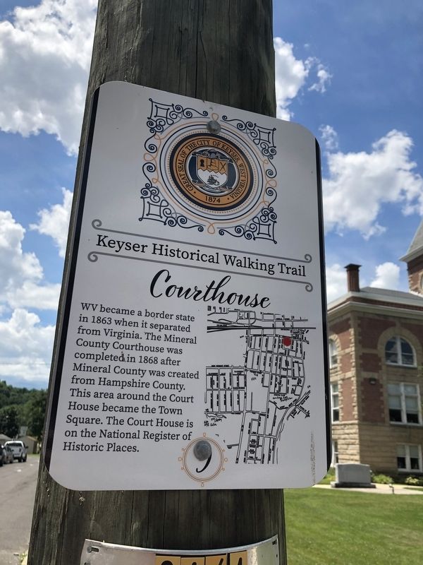
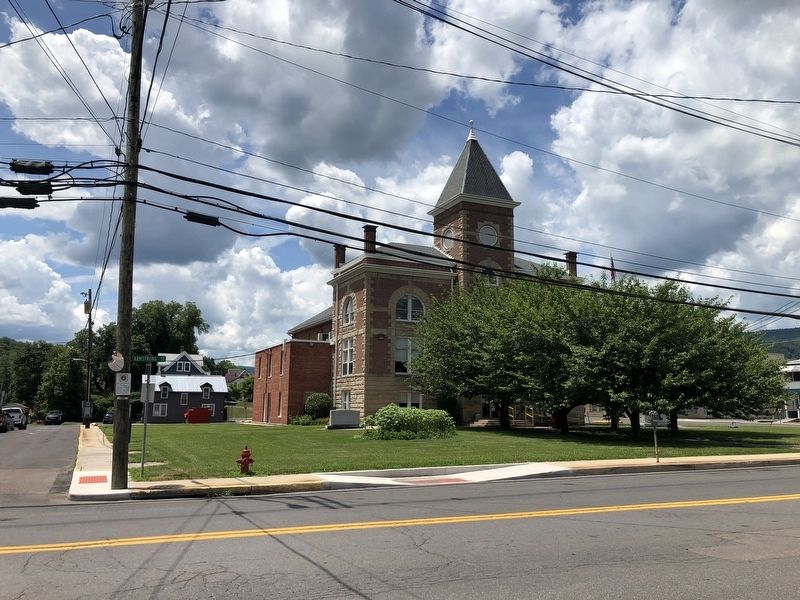
Courthouse
Keyser Historical Walking Trail
Erected by The City of Keyser, West Virginia. (Marker Number 9.)
Topics and series. This historical marker is listed in these topic lists: Government & Politics • Notable Buildings • Political Subdivisions. In addition, it is included in the West Virginia, The City of Keyser series list. A significant historical year for this entry is 1863.
Location. 39° 26.398′ N, 78° 58.37′ W. Marker is in Keyser, West Virginia, in Mineral County. Marker is at the intersection of East Street and Armstrong Street (West Virginia Route 46), on the left when traveling south on East Street. Touch for map. Marker is at or near this postal address: 130 East St, Keyser WV 26726, United States of America. Touch for directions.
Other nearby markers. At least 8 other markers are within walking distance of this marker. Lest We Forget (within shouting distance of this marker); Courthouse Square (within shouting distance of this marker); Blacksmith Shop (about 300 feet away, measured in a direct line); New Creek Station (about 300 feet away); Jonah E. Kelley Memorial Bridge (about 400 feet away); Janes Church (approx. 0.2 miles away); Lincoln School (approx. 0.2 miles away); Historical Marker near Post Office (approx. 0.2 miles away). Touch for a list and map of all markers in Keyser.
Credits. This page was last revised on July 14, 2020. It was originally submitted on July 14, 2020, by Devry Becker Jones of Washington, District of Columbia. This page has been viewed 138 times since then and 8 times this year. Photos: 1, 2. submitted on July 14, 2020, by Devry Becker Jones of Washington, District of Columbia.

