Near Carbondale in Pitkin County, Colorado — The American Mountains (Southwest)
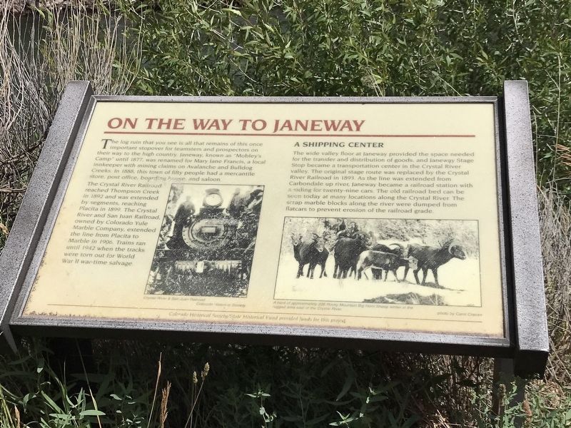
On the Way to Janeway
The Crystal River Railroad reached Thompson Creek in 1892 and was extended by segments, reaching Placita in 1899. The Crystal River and San Juan Railroad, owned by Colorado Yule Marble Company, extended the line from Placita to Marble in 1906. Trains ran until 1942 when the tracks were torn out for World War II war-time salvage.
A shipping center
The wide valley floor at Janeway provided the space needed for the transfer and distribution of goods, and Janeway Stage Stop became a transportation center in the Crystal River valley. The original stage route was replaced by the Crystal River Railroad in 1893. As the line was extended from Carbondale up river, Janeway became a railroad station with a siding for twenty-nine cars. The old railroad bed can be seen today at many locations along the Crystal River. The scrap marble blocks along the river were dumped from flatcars to prevent erosion of the railroad grade.
[Captions]
Left: Crystal River & San Juan Railroad - Colorado Historical Society
Right: A herd of approximately 200 Rocky Mountain Big Hon Sheep winter in the rugged area east of the Crystal River. Photo by Carol Cravan
Erected by Colorado Historical Society/State Historical Fund.
Topics. This historical marker is listed in these topic lists: Industry & Commerce • Railroads & Streetcars • Settlements & Settlers. A significant historical year for this entry is 1877.
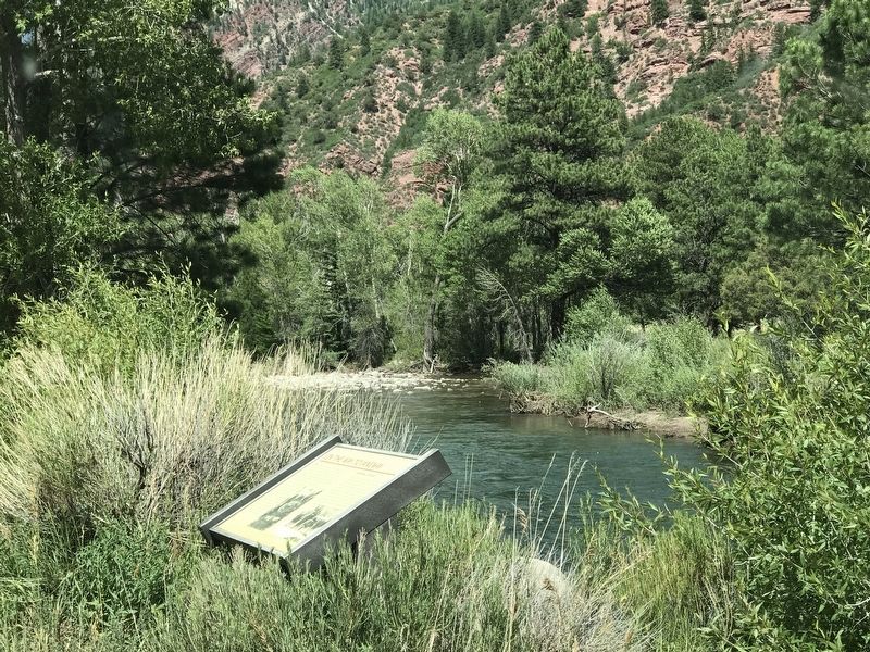
Location. 39° 15.577′ N, 107° 13.924′ W. Marker is near Carbondale, Colorado, in Pitkin County. Marker is on Colorado 133, half a mile north of Avalanche Creek Road, on the right when traveling north. Marker is on a pullout by the Crystal River. Touch for map. Marker is in this post office area: Carbondale CO 81623, United States of America. Touch for directions.
Other nearby markers. At least 6 other markers are within 14 miles of this marker, measured as the crow flies. Welcome to the Basalt History Tour (approx. 13 miles away); The Snell Building (approx. 13 miles away); Colorado Midland Railway (approx. 13 miles away); The Colorado Midland Depot (approx. 13 miles away); a different marker also named Colorado Midland Depot (approx. 13 miles away); The Splendid Spud (approx. 13.1 miles away).
Credits. This page was last revised on July 15, 2020. It was originally submitted on July 15, 2020, by Duane and Tracy Marsteller of Murfreesboro, Tennessee. This page has been viewed 189 times since then and 20 times this year. Photos: 1, 2. submitted on July 15, 2020, by Duane and Tracy Marsteller of Murfreesboro, Tennessee. • Andrew Ruppenstein was the editor who published this page.

